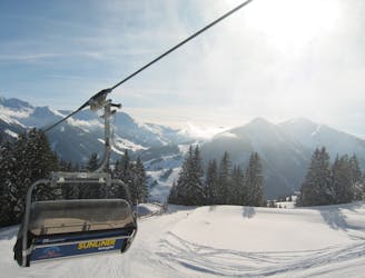
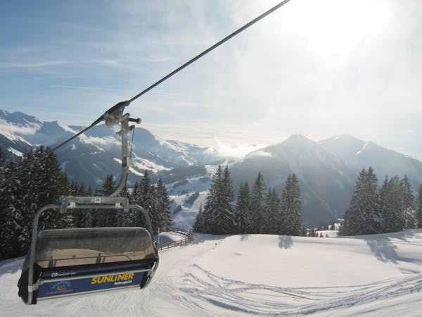
1.3 km away
Saalbach - Rammern

Easy to access freeride run.
Easy Freeride Skiing
- Distance
- 3.6 km
- Ascent
- 8 m
- Descent
- 968 m

Great long descent
Freeride Skiing Moderate

Left of the Westgipfel downhill descent is a labeled paragliding launch site. To the left of this begins the descent. To reach the Stemmerkogel summit, start climbing along the summer path towards the ridge. Depending on snow conditions and wind transport, this is a favorable track, but you should not go too far left. The descent starts right at the top at 2123m. To the right (facing W), are beautiful hilly meadows. At about 1850m, a prominent trench starts, which runs downhill through a sparse mountain forest. To the left you head into dense forest. Pass it until you reach a somewhat overgrown clearing. This drives off until 1600m, where it meets a forest road, which you follow briefly to the right through a forest. Immediately after the forest, head left down the valley to the Stiegeralm (1487m) pass. Alternatively, you can stay on the forest road and a few paces from the marked trail where the middle station of the Westgipfelbahn returns. Depart further after the Stiegeralm hut until that leads you to about 1400m and to a solitary larch, which meets a forest road. This forest road is followed by a steep, dense forest and the valley. This forest road is usually, but car traffic is to be expected at all times! The road will change to the left side of the stream, shortly after heading uphill. From here its mostly cleared and you can head to the valley next to the edge of the road. After 500m, turn left (just before a small chapel). The approach is past several houses including Pension Falkenstein. Follow this uphill for 20m. Then, keep to the right and go straight to the end of the settlement. There you have access to a more extended ski route back to the ski resort. This is followed either right to the bottom station of Westgipfelbahn or left the station of the Zwolfer gondola.
Moderate
Slopes become slightly steeper at around 25-30 degrees.
1.3 km away

Easy to access freeride run.
Easy Freeride Skiing
2.1 km away

Long descent until bus stop
Moderate Freeride Skiing
2.2 km away

Long and steep-ish descent until Saalbach
Difficult Freeride Skiing
4.6 km away

Great descent, especially for freeride beginners
Easy Freeride Skiing
5.1 km away

Classic Saalbach freeride
Easy Freeride Skiing
5.3 km away

Great descent with one tricky section
Moderate Freeride Skiing
5.7 km away

Impressive scenery, but only for experienced riders
Difficult Freeride Skiing
5.7 km away

Slightly lesser known descent
Moderate Freeride Skiing
5.7 km away

Nice easy descent until Lengau
Moderate Freeride Skiing
6.3 km away

Great long descent towards the Tyrol lift
Moderate Freeride Skiing

8 routes · Freeride Skiing