1.7 km away
Saalbach - Lieneralm

Great long descent towards the Tyrol lift
Moderate Freeride Skiing
- Distance
- 1.9 km
- Ascent
- 20 m
- Descent
- 600 m

Great descent, especially for freeride beginners
Freeride Skiing Easy

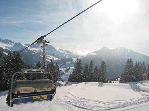
Very nice, gentle slopes that even at higher avalanche risk still can be handled easily. The orientation is very easy but the slopes are facing south, so especially in late winter it is critical to have good timing to find good snow quality. In mid-winter this is a fantastic descent. Only in extreme conditions might there be a danger of avalanche. Take blue ski piste no. 28, where you head left to cross below the Hochalmspitze through open terrain. Until about 1600m, the blue ski trail no. 27 is close by. On these pastures, you should take care of fence posts and barbed wire. Follow a road to the left, passing the Rosswald cottage. During the ride up the lift, you can have already located suitable places to pass through a small forest. On the slopes, depart after about 300m past the forest - even before the snow guard fence - head left and and traverse through a forest strip. After the forest you can ski cross-country on a forest road. At about 1200m you go right past two houses. After that you should find a suitable place to overcome the right ditch and obliquely cross further to the right. A more extended track can be found at 1140m. This track is followed by another ditch just before a road bend (stop sign). Follow this road - depending on snow conditions - on foot or even on skis to the valley station.
Easy
Wide gentle slopes at around 20 degrees or less.
1.7 km away

Great long descent towards the Tyrol lift
Moderate Freeride Skiing
2.1 km away

Fairly easy route from Hinterglemm to the next valley
Easy Freeride Skiing
2.8 km away

Great descent with one tricky section
Moderate Freeride Skiing
2.9 km away

A 900m fun and gentle descent with only 50m ascent
Moderate Freeride Skiing
4.6 km away

Great long descent
Moderate Freeride Skiing
4.7 km away

A varied descent for experienced riders
Difficult Freeride Skiing
5.1 km away

Impressive scenery, but only for experienced riders
Difficult Freeride Skiing
5.2 km away

Nice easy descent until Lengau
Moderate Freeride Skiing
5.2 km away

Slightly lesser known descent
Moderate Freeride Skiing
5.4 km away

Easy to access freeride run.
Easy Freeride Skiing

8 routes · Freeride Skiing