872 m away
Saalbach - Wildenbach

Long descent until bus stop
Moderate Freeride Skiing
- Distance
- 3.6 km
- Ascent
- 123 m
- Descent
- 988 m
Easy to access freeride run.
Freeride Skiing Easy

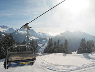
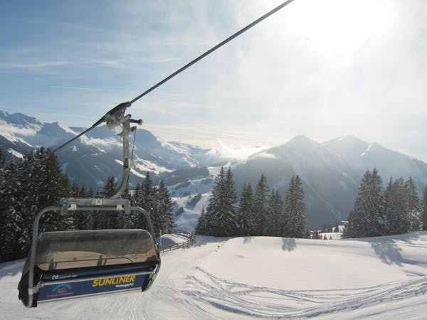
Especially the second part is ideal for freeride beginners, because it is not too steep. However, it is a sunny slope and Schattberg to Limbergalm often has avalanche danger! The first part (from the Schattberg to Limbergalm) is tree free with occasional steeper sections. The second part is easier. There are clearings between trees. A power line and a toboggan run can also be good orientation if needed. In poor visibility or high avalanche danger, the first part on the slope no. 3 (Limberg departure) should be bypassed. From the the Schattberg gondola, from ski trail no. 1a (Schattberg Nord) (300m) turn left on the slope no. 1 (N). Continue straight ahead and cross the terrain toward the Dillinger Eck. The tendency to be sometimes steeper means avalanche danger! Depending on circumstances. look for a variant near the Limbergalm hut (1715m). There, the slope 2b (Jausernabfahrt) is situated. Now head onwards on nice open terrain passing groups of trees. Remain near a power line and the toboggan run Simalalm. In Rammern (1161m), adhere to the toboggan run and head out to Jausern (930m). Then, head over, close to a hydro construction. After the end of the Jausernabfahrt, you have to walk to the Schönleiten gondola, which can be reached in about 10 minutes or take the bus back to Saalbach from the main road.
Easy
Wide gentle slopes at around 20 degrees or less.

Exposure is limited to that of the slope itself. Getting hurt is still likely if the slope is steep and/or the snow is hard.

Away from help but easily accessed.
872 m away
Long descent until bus stop
Moderate Freeride Skiing
876 m away

Long and steep-ish descent until Saalbach
Difficult Freeride Skiing
1.3 km away

Great long descent
Moderate Freeride Skiing
4 km away
Classic Saalbach freeride
Easy Freeride Skiing
5.4 km away

Great descent, especially for freeride beginners
Easy Freeride Skiing
5.5 km away

Great descent with one tricky section
Moderate Freeride Skiing
7 km away

Impressive scenery, but only for experienced riders
Difficult Freeride Skiing
7 km away

Slightly lesser known descent
Moderate Freeride Skiing
7 km away

Nice easy descent until Lengau
Moderate Freeride Skiing
7.2 km away

Great long descent towards the Tyrol lift
Moderate Freeride Skiing
8 routes · Freeride Skiing