2.8 km away
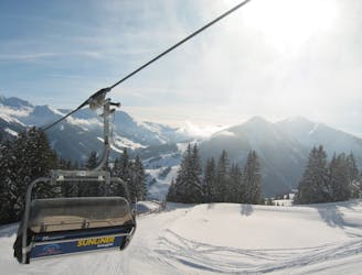
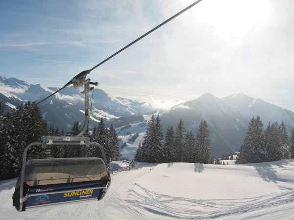
Saalbach - Rosswald

Great descent, especially for freeride beginners
Easy Freeride Skiing
- Distance
- 1.7 km
- Ascent
- 0 m
- Descent
- 555 m
Great descent with one tricky section
Freeride Skiing Moderate

Initially take the red piste no. 48, then head north into the forest. After about 50m you reach the meadows of Gerstbodenalm. Enjoy open turns, crossing a forest track a few times. When you get to a hut you are at about 1482m. Just below here where the forest thickens follow a forest road to the right into the woods and by a deep moat. It has numerous hairpin bends. With very good snow and good skiing technique, a few of the bends in the upper part can be shortened. From about 1250m, the switchbacks are considerably closer. Here its a necessity to remain on the forest road and not cut the corners, because this area is closed due to reforestation. At about 1100m, you reach a usually open barrier at the last bend to the right. Go straight through and then left towards the Pulvermacheralm hut, where you change at the tree line into a creek bed to the left side (south side). Here its just a few meters to a prepared slope that leads to the ski hut for a stopover. If the stream crossing as described above is not possible, it can be done after the Pulvermacheralm hut. When crossing the north side of the creek, you reach about 1050m with a mostly cleared access road to the station.
Moderate
Slopes become slightly steeper at around 25-30 degrees.

As well as the slope itself, there are some obstacles (such as rock outcrops) which could aggravate injury.

Close to help in case of emergency.
2.8 km away
Great descent, especially for freeride beginners
Easy Freeride Skiing
3.6 km away

Great long descent towards the Tyrol lift
Moderate Freeride Skiing
4.1 km away

Fairly easy route from Hinterglemm to the next valley
Easy Freeride Skiing
4.6 km away

A varied descent for experienced riders
Difficult Freeride Skiing
5.1 km away

A 900m fun and gentle descent with only 50m ascent
Moderate Freeride Skiing
5.3 km away

Great long descent
Moderate Freeride Skiing
5.5 km away
Classic Saalbach freeride
Easy Freeride Skiing
5.5 km away

Easy to access freeride run.
Easy Freeride Skiing
5.8 km away

Long descent until bus stop
Moderate Freeride Skiing
5.8 km away

Long and steep-ish descent until Saalbach
Difficult Freeride Skiing
8 routes · Freeride Skiing