506 m away
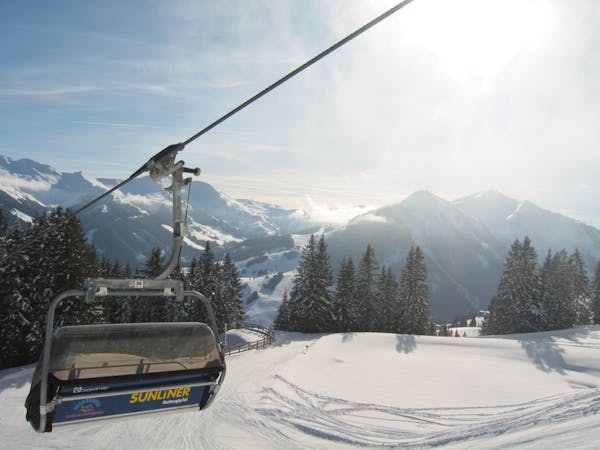
Saalbach - Lieneralm

Great long descent towards the Tyrol lift
Moderate Freeride Skiing
- Distance
- 1.9 km
- Ascent
- 20 m
- Descent
- 600 m
Fairly easy route from Hinterglemm to the next valley
Freeride Skiing Easy

From the top of the "Hochalm 6er" lift, head to the left and follow the first right into a shallow trough of a groomed forest road. After a curve to the W, head up to the summit of Kastel Steins (1931m). From the top station to here is about 200m. Descend from here into the W facing slopes. At first flat, then comes an area of detached trees which is slightly steeper in a large arc (clockwise) to a wonderful northern slope to several mountain huts (1600m). Behind it to the E is a short, somewhat steeper ditch, which leads through a forest before coming to beautiful meadows again. At about 1400m, you reach a small forest, which, on its W side has a beautiful escarpment. Watch out for barbed wire at the entrance. At the end of the steep slope it's possible to gain momentum and get to a bridge crossing at the Suglachalm hut to the other side of the stream. There it goes for about 20m up to the Suglachalm hut. From there, on a forest road, it's very flat way heads to the right, E, to the marked variations F34 or F35 and comes to the F13. On this, usually prepared snow but very flat, with short ups and downs, head back to the station at the Pulvermacheralm hut.
Easy
Wide gentle slopes at around 20 degrees or less.

Exposure is limited to that of the slope itself. Getting hurt is still likely if the slope is steep and/or the snow is hard.

Away from help but easily accessed.
506 m away
Great long descent towards the Tyrol lift
Moderate Freeride Skiing
1 km away

A 900m fun and gentle descent with only 50m ascent
Moderate Freeride Skiing
2.1 km away

Great descent, especially for freeride beginners
Easy Freeride Skiing
3.3 km away

A varied descent for experienced riders
Difficult Freeride Skiing
4.1 km away

Great descent with one tricky section
Moderate Freeride Skiing
5.5 km away

Impressive scenery, but only for experienced riders
Difficult Freeride Skiing
5.6 km away

Nice easy descent until Lengau
Moderate Freeride Skiing
5.6 km away

Slightly lesser known descent
Moderate Freeride Skiing
6.6 km away

Great long descent
Moderate Freeride Skiing
7.5 km away

Easy to access freeride run.
Easy Freeride Skiing
8 routes · Freeride Skiing