3.3 km away
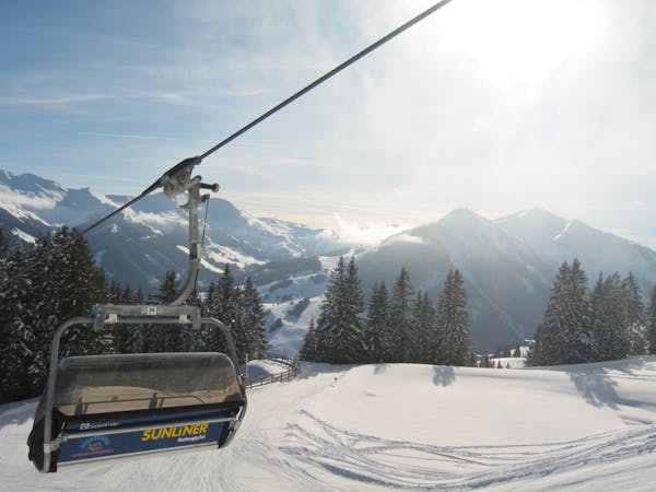
Saalbach - Lieneralm

Great long descent towards the Tyrol lift
Moderate Freeride Skiing
- Distance
- 1.9 km
- Ascent
- 20 m
- Descent
- 600 m
A varied descent for experienced riders
Freeride Skiing Difficult

The descent is divided into several sections that need to be evaluated individually. Initially, the ascent is via steep south-facing slopes, then a steep western slope must be crossed before it's traced to an east-facing bowl. Here, incorporate the steep northern slopes of the "Henne" mountain into your consideration for the risk of avalanches. The lower part is a very steep northern slope that can be bypassed nearby. Take the chair lift "Hochhörndl" and leave to the right of the wooden fence. The short traverse to the west then rises slightly (watch out here especially for avalanches from the steep slopes from the summit). As a guide, pass a 10 metre vertical rock face, passing under it as close as possible. Shortly thereafter, there is a cornice (at about 2040 metres) to overcome and then a little flatter terrain. Here, if there are thin layers of snow on the stones, it is advisable to carry the skis a little further. Now traverse through a steep area that's overgrown with pines, hopefully without losing any height. Arrive at the rocky north ridge, which heads down from the top of the Henne mountain. Now on the ridge, leave partially left or right to the north until the ridge merges into a broad summit (2000 metres). Here, enter at any point to the right into the beautiful bowl. At its lower end, leave the area at the steel avalanche barriers. When seeing a group of trees on a ridge, you are on the right track. Then carefully get into a very steep, rocky northern slope. Here a gutter may be crossed in order to further enjoy a steep area with larches at about 1600 metres, it will become much flatter and you move through a clearing further north behind some trees to another clearing. Now head onto free, usually tracked out terrain left of a little forest past the "Teehütte" and from there onto the slope to the valley station of the "Reckmoos Nordbahn".
Difficult
Serious gradient of 30-38 degrees where a real risk of slipping exists.

As well as the slope itself, there are some obstacles (such as rock outcrops) which could aggravate injury.

Little chance of being seen or helped in case of an accident.
3.3 km away
Great long descent towards the Tyrol lift
Moderate Freeride Skiing
3.3 km away

Fairly easy route from Hinterglemm to the next valley
Easy Freeride Skiing
3.8 km away

A 900m fun and gentle descent with only 50m ascent
Moderate Freeride Skiing
4.6 km away

Great descent with one tricky section
Moderate Freeride Skiing
4.7 km away

Great descent, especially for freeride beginners
Easy Freeride Skiing
8.9 km away

Impressive scenery, but only for experienced riders
Difficult Freeride Skiing
8.9 km away

Nice easy descent until Lengau
Moderate Freeride Skiing
8.9 km away

Slightly lesser known descent
Moderate Freeride Skiing
9.1 km away

Great long descent
Moderate Freeride Skiing
9.7 km away

Easy to access freeride run.
Easy Freeride Skiing
8 routes · Freeride Skiing