53 m away
Ostrinne

A good place to start at Nordkette, this line is easier than its neighbours but still shouldn't be underestimated.
Difficult Freeride Skiing
- Distance
- 1.2 km
- Ascent
- 0 m
- Descent
- 609 m


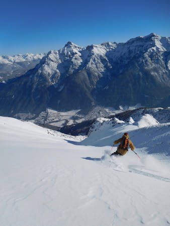
This is pretty much the definition of big mountain skiing - huge terrain, big views and wild skiing. The route starts from the Hafelekar station, at the top of the Nordkette resort, and from from there on out it is a wild ride all the way back to the foot of the lift system.
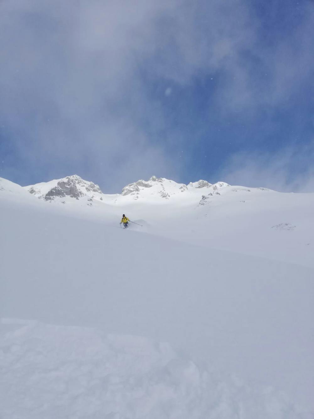
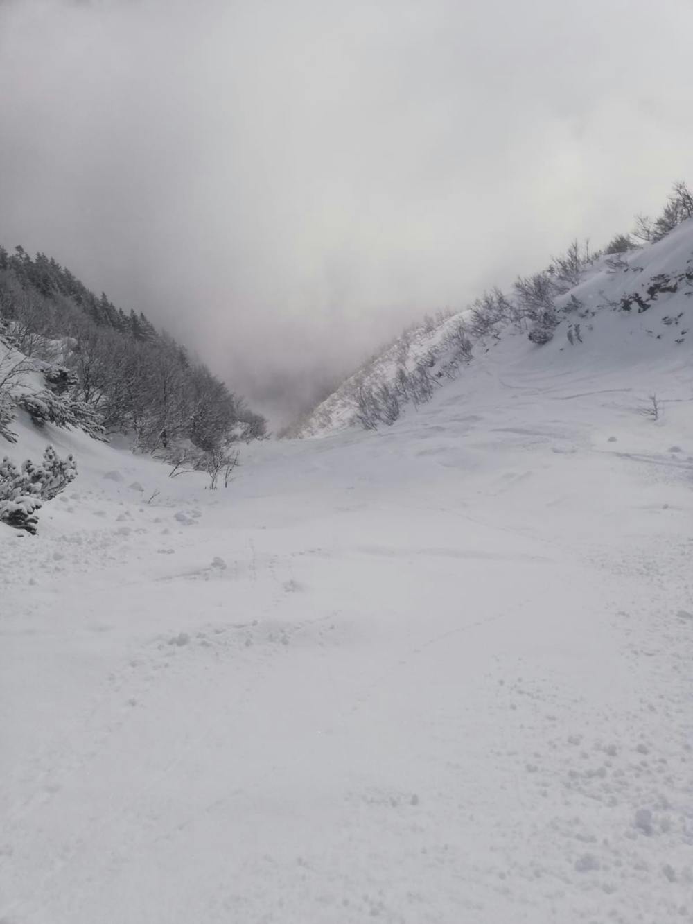
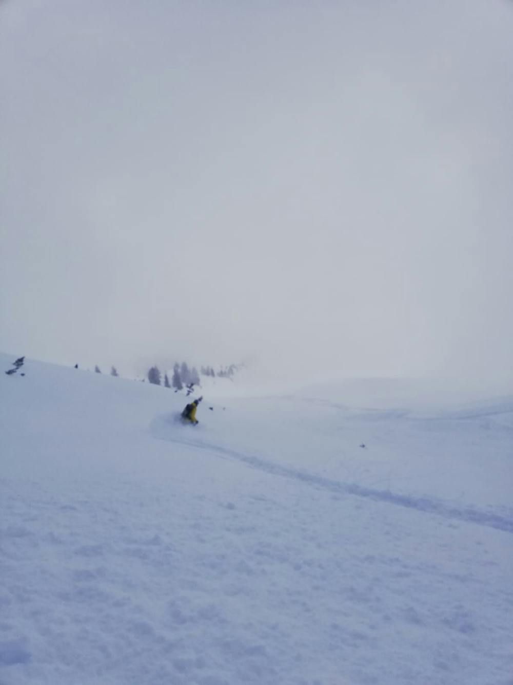
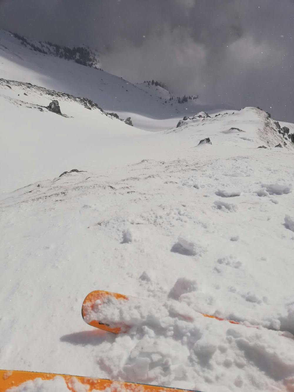
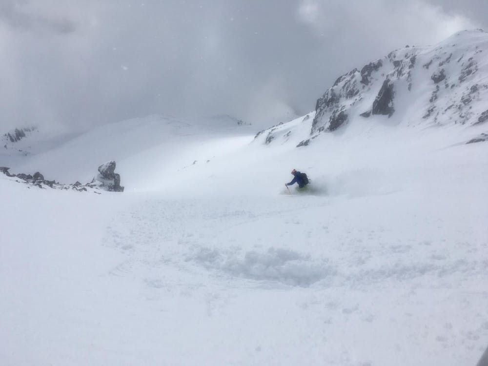
Start by hiking for a minute from the station towards the Hafelekar peak and then putting skis on and traversing east beneath some avalanche barriers towards a small rock buttress. Pass through the rock buttress where the summer path goes (there is a metal cable to mark the path through the rock buttress) and make sure you do this slowly - there's a big drop to the right of the rock buttress and if you arrived with too much speed it would be easy to fly off the drop!
Once through the buttress you're at the start of the skiing, and will suddenly realise just what an epic ski you are in for. The line starts out with a hanging couloir and then opens into a humungous open face. Ski this wherever you want until it narrows again into a small choke, level with where the treeline starts.
Pass through this and then ski the fantastic gully below as it winds down through the lower section of the Nordkette mountains. There are trees either side of the gully and small shrubs in it, but in anything resembling a good snow year here the shrubs should be easy to navigate and only add to the skiing, rather than making it awkward.
The gully spits you out on a nice, mellow slope which leads down to the Arzler Alm mountain hut. Pass underneath this and ski a nice little slope to the east of it down to a manmade bowl. This bowl was built to try to catch and dissipate avalanches, so it's not a great place to linger. Get your off and hike quickly out of it (which only takes a couple of minutes) and then walk (or ski if there's enough snow) back to the Hungerburg station at the foot of the Norkdette lift system.
Severe
Steep skiing at 38-45 degrees. This requires very good technique and the risk of falling has serious consequences.
53 m away

A good place to start at Nordkette, this line is easier than its neighbours but still shouldn't be underestimated.
Difficult Freeride Skiing
54 m away
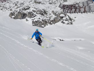
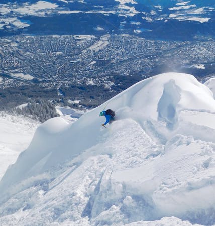
A steep and incredibly well positioned line perched high above Innsbruck city.
Severe Freeride Skiing
68 m away

A true classic of Innsbruck and a good introduction to steeper freeride lines.
Severe Freeride Skiing
839 m away
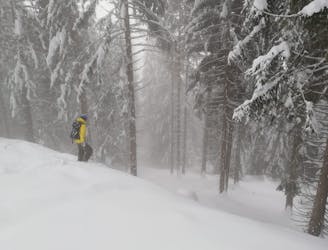
A fun adventure with a bit of everything from open slopes to tight trees.
Difficult Freeride Skiing
990 m away

A brilliant journey into some amazing tree skiing and big terrain.
Difficult Freeride Skiing
1.8 km away

A great extension which is possible only in the snowiest of conditions.
Difficult Freeride Skiing
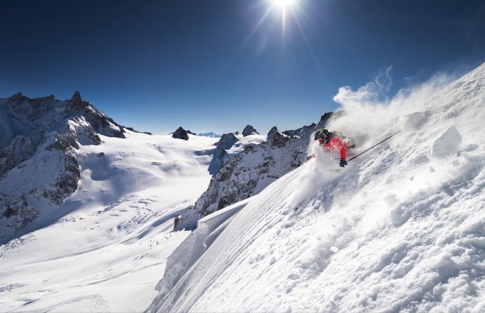
10 routes · Freeride Skiing
7 routes · Freeride Skiing

50 routes · Freeride Skiing · Ski Touring
8 routes · Freeride Skiing · Ski Touring
10 routes · Freeride Skiing