3 m away
Ostrinne

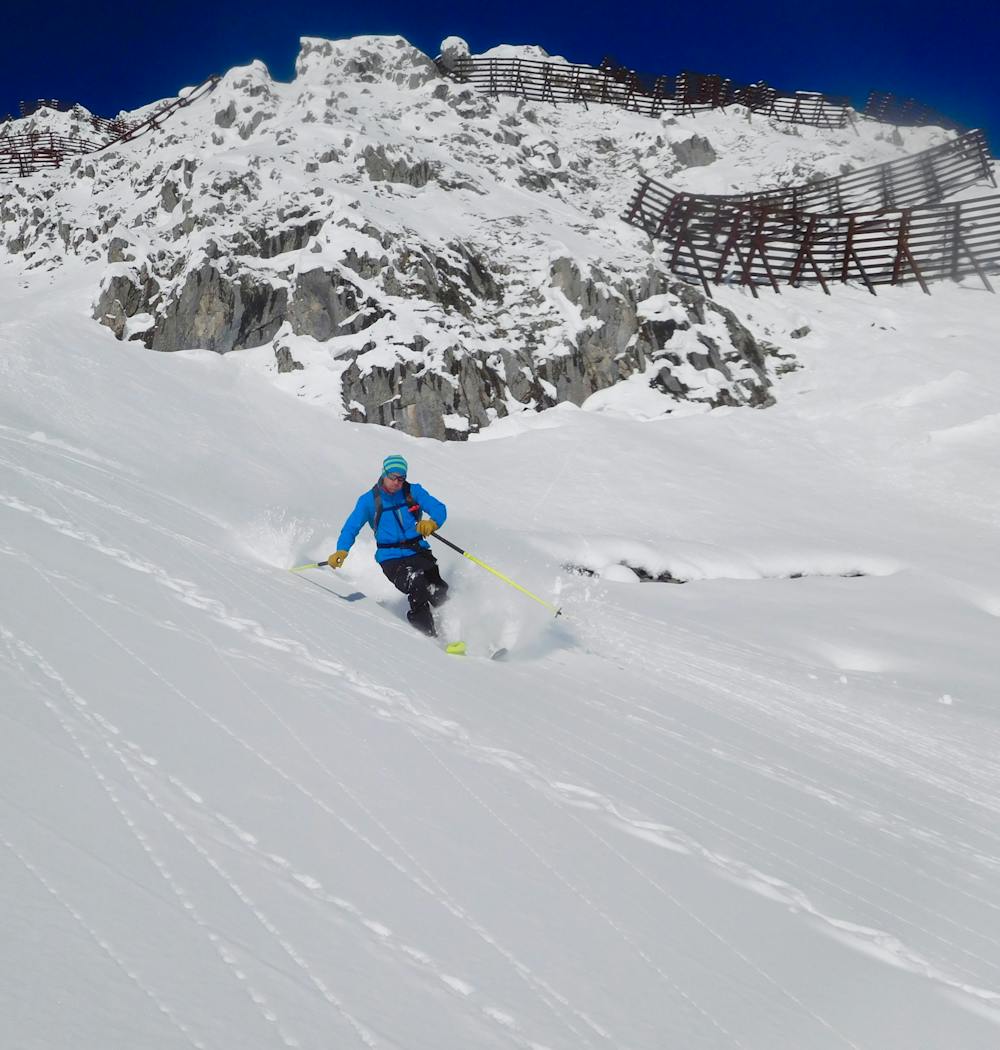
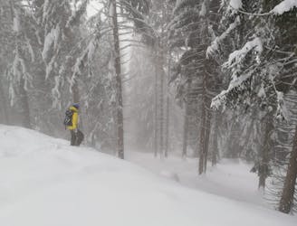
A good place to start at Nordkette, this line is easier than its neighbours but still shouldn't be underestimated.
Difficult Freeride Skiing
- Distance
- 1.2 km
- Ascent
- 0 m
- Descent
- 609 m

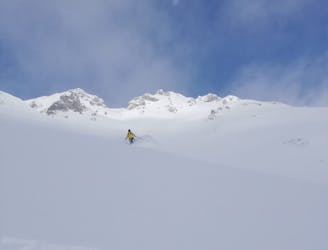
The most popular of the Nordkette classic lines, this is a really exciting, steep couloir which should not be underestimated. From the Hafelekar cable car station, at the very top of the Nordkette lift system, put your skis on at a metre wide gap in the stone wall to the east of the station. Ski through the gap, and then immediately drop down and skier's right to traverse underneath the station. This is quite an exposed traverse with some steep ground underneath it, so be careful and don't rush. The traverse ends at the steep entrance to the main Seilbahnrinne itself. Enter the line via a steep and committing little drop. Once in, the line is steep and narrow, but gradually widens throughout its length. The bottom section is a huge, wide slope where it is possible to really open up some big turns if conditions allow. From the bottom slope, traverse back onto the pistes of the Nordkette ski area and ski down to the 3er Stütze chairlift.
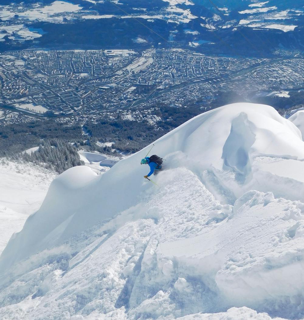
Severe
Steep skiing at 38-45 degrees. This requires very good technique and the risk of falling has serious consequences.

In case of a fall, death is highly likely.
Little chance of being seen or helped in case of an accident.
3 m away
A good place to start at Nordkette, this line is easier than its neighbours but still shouldn't be underestimated.
Difficult Freeride Skiing
15 m away

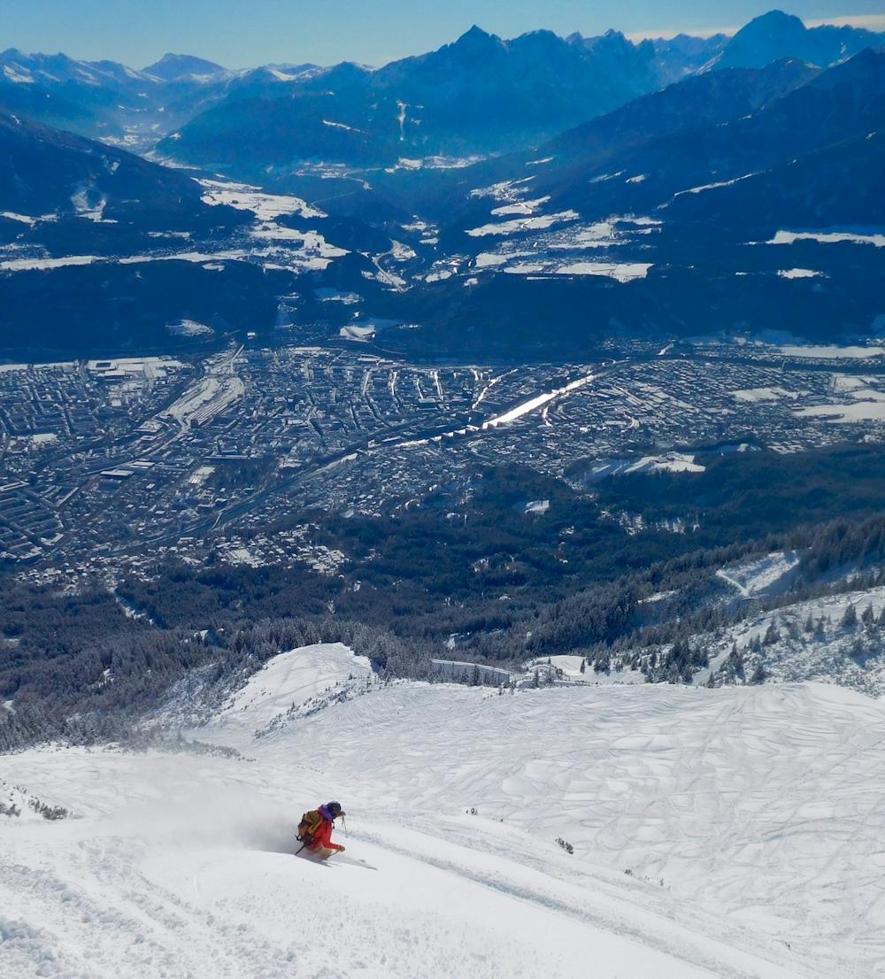
A true classic of Innsbruck and a good introduction to steeper freeride lines.
Severe Freeride Skiing
54 m away
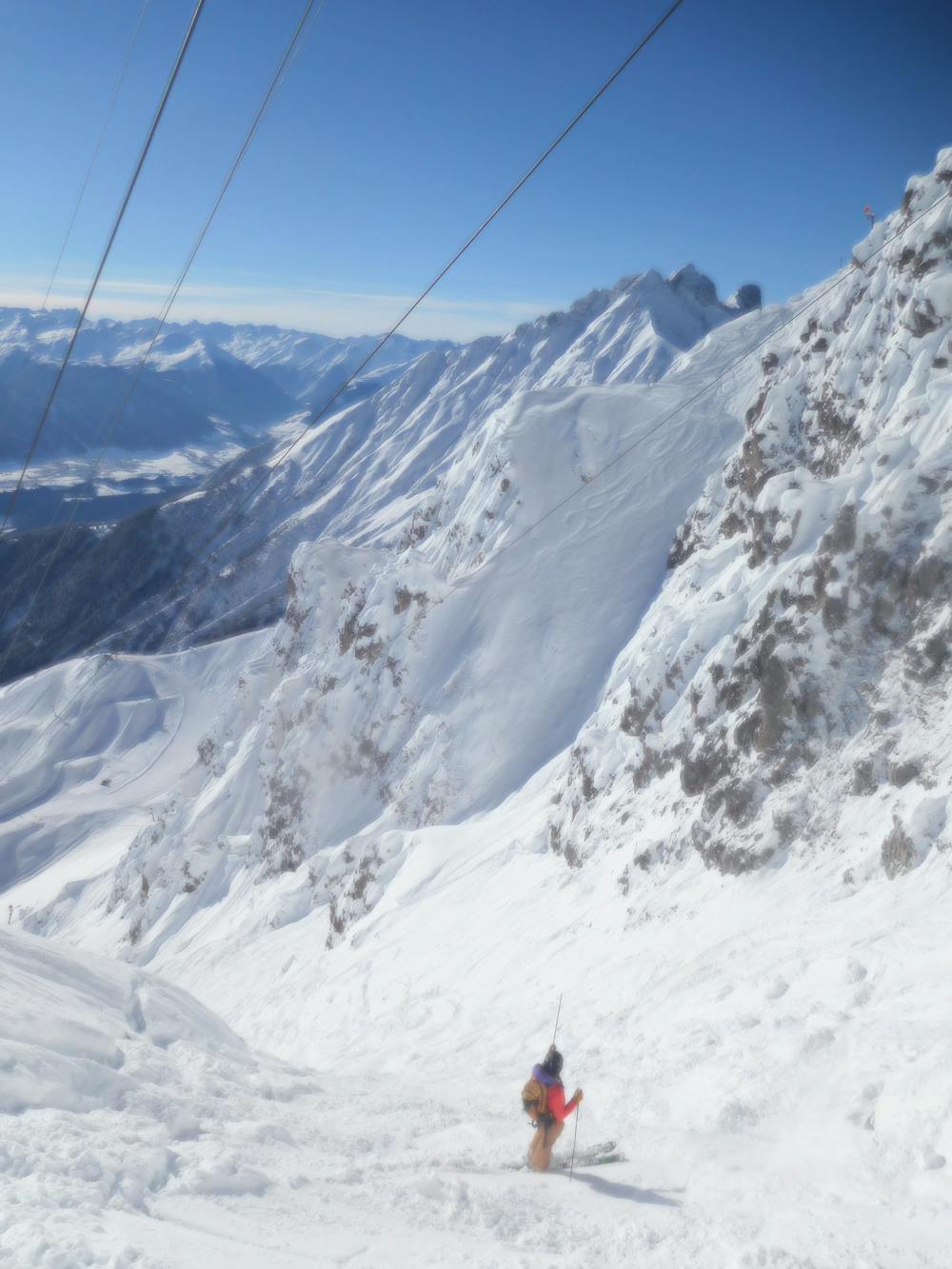
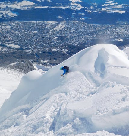
A truly epic ski descent through some huge terrain.
Severe Freeride Skiing
785 m away
A fun adventure with a bit of everything from open slopes to tight trees.
Difficult Freeride Skiing
936 m away

A brilliant journey into some amazing tree skiing and big terrain.
Difficult Freeride Skiing
1.7 km away

A great extension which is possible only in the snowiest of conditions.
Difficult Freeride Skiing

10 routes · Freeride Skiing

7 routes · Freeride Skiing

50 routes · Freeride Skiing · Ski Touring
8 routes · Freeride Skiing · Ski Touring

10 routes · Freeride Skiing