893 m away
Schwarze Schneide off-piste

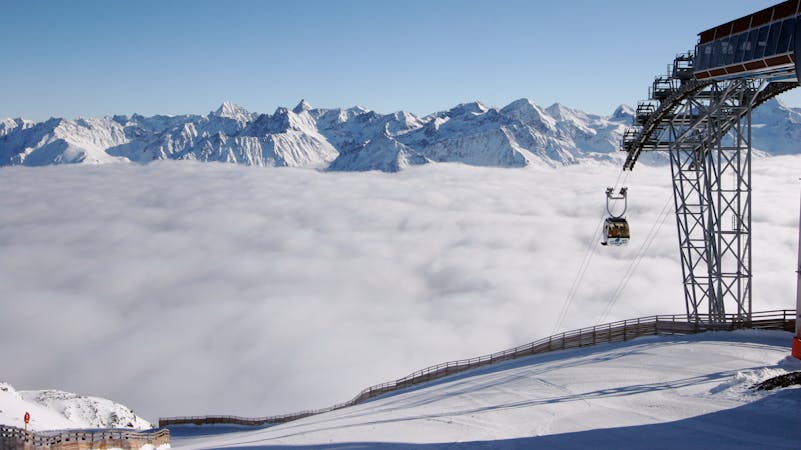
An off-piste on the glacier next to the piste.
Difficult Freeride Skiing
- Distance
- 1.6 km
- Ascent
- 0 m
- Descent
- 484 m
This one is epic. Pain if you have to organize the return, plenty to do in Pitztal post arriving there though.
Freeride Skiing Difficult

Start at the viewing platform off the Tiefenbachferner Gondola. Rappel down, or climb if you are comfortable, the rope is not strictly necessary. From here first straight, then right over to Hangender Ferner. Ski all the way over to Braunschweiger Huette and pass it on the right side (flat/short uphill). From here straight down until you hit the emergency road from Pitztal Glacier, cross it to ski down until you hit the creek bed, turn right and re-merge with the emergency road to reach the base station.
Difficult
Serious gradient of 30-38 degrees where a real risk of slipping exists.

As well as the slope itself, there are some obstacles (such as rock outcrops) which could aggravate injury.

Little chance of being seen or helped in case of an accident.
893 m away
An off-piste on the glacier next to the piste.
Difficult Freeride Skiing
4.3 km away

A beautiful big mountain line from Gaislachkogel, well away from the slopes.
Difficult Freeride Skiing
4.3 km away

Advanced off piste from the infamous Gaislachkogl.
Severe Freeride Skiing
4.5 km away

Marvellous big mountain off-piste for intermediate skiers, away from the chairs and the crowds.
Severe Freeride Skiing
4.5 km away

Mellow big mountain off-piste for intermediates
Difficult Freeride Skiing
4.5 km away

Classic off piste with many variations down from Gaislachkogl for good riders
Severe Freeride Skiing
4.6 km away

Non crowded big mountain off-piste for experienced skiers.
Severe Freeride Skiing
4.7 km away

Long big mountain off-piste. Because of the danger in the beginning of the line it is for experienced riders only.
Difficult Freeride Skiing
4.8 km away

A steep and narrow big mountain couloir on top of Gaislachkogl. For experts only!
Severe Freeride Skiing
4.9 km away

Big mountain off-piste on the infamous Gaislachkogl. Because of the danger in the beginning of the line this is reserved for experienced riders.
Difficult Freeride Skiing
16 routes · Freeride Skiing