5 km away
Schwarze Schneide off-piste

An off-piste on the glacier next to the piste.
Difficult Freeride Skiing
- Distance
- 1.6 km
- Ascent
- 0 m
- Descent
- 484 m
This is a true steep ski classic in the Tyrolean Alps.
Freeride Skiing Extreme

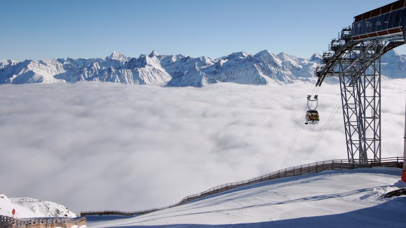
This is a true steep ski classic in the Tyrolean Alps. When standing on the viewpoint of the Wildspitze cable car the face appears when looking South-West. It is a fairly long sustained 45 degrees plus pitch. Hard to resist the pull factor. You need good and stable conditions to have fun here, so many people climb through it prior to descending in order to judge. But it is almost lift served, with the caveat that you have to cross a fairly crevasse heavy glacier. Leave Mittelbergbahn and ski down the piste for a short patch before turning skiers left. Step up to Mittelbergjoch and ski down the south facing short couloir to Taschachferner. Put on skins (roping up is highly recommended, the glacier is truly full of crevasses here) and head further South gaining some altitude until you reach a plateau where the glacier isn't breaking as much anymore and turn West almost pointing towards Petersenspitze. Before reaching the ridge which would lead to Petersenspitze turn North towards Taschachwand. The face itself starts at just over 50 degrees and becomes slightly less steep downwards. The first couple of meters can be rocky and sometimes require side-stepping. From there on it is a blast. Once you reach the bottom of the face things get fairly flat (still glacier). You return to Mittelberg via Taschachtal, which can be a pain for boarders.
Again as a note of caution: This one is serious in terms of alpine hazards!
Extreme
Extreme skiing terrain above 45 degrees. These routes are reserved for experienced experts.

In case of a fall, death is highly likely.
Little chance of being seen or helped in case of an accident.
5 km away
An off-piste on the glacier next to the piste.
Difficult Freeride Skiing
8.4 km away

A beautiful big mountain line from Gaislachkogel, well away from the slopes.
Difficult Freeride Skiing
8.4 km away

Advanced off piste from the infamous Gaislachkogl.
Severe Freeride Skiing
8.6 km away

Marvellous big mountain off-piste for intermediate skiers, away from the chairs and the crowds.
Severe Freeride Skiing
8.6 km away

Mellow big mountain off-piste for intermediates
Difficult Freeride Skiing
8.6 km away

Classic off piste with many variations down from Gaislachkogl for good riders
Severe Freeride Skiing
8.7 km away

Non crowded big mountain off-piste for experienced skiers.
Severe Freeride Skiing
8.8 km away

Long big mountain off-piste. Because of the danger in the beginning of the line it is for experienced riders only.
Difficult Freeride Skiing
8.9 km away

A steep and narrow big mountain couloir on top of Gaislachkogl. For experts only!
Severe Freeride Skiing
8.9 km away

Big mountain off-piste on the infamous Gaislachkogl. Because of the danger in the beginning of the line this is reserved for experienced riders.
Difficult Freeride Skiing
16 routes · Freeride Skiing