7 km away
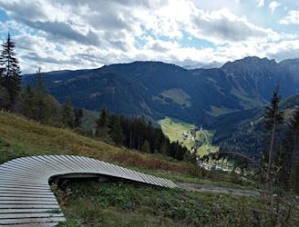
Isskogel Loop
A gorgeous ride far from the crowds.
Moderate Mountain Biking
- Distance
- 17 km
- Ascent
- 470 m
- Descent
- 1.1 km
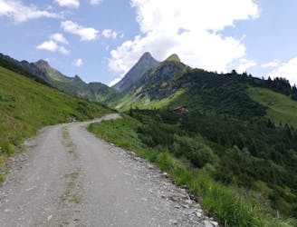
Bike to one of the Zillertal's best huts and down into a peaceful valley.
Mountain Biking Moderate

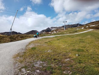
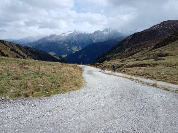
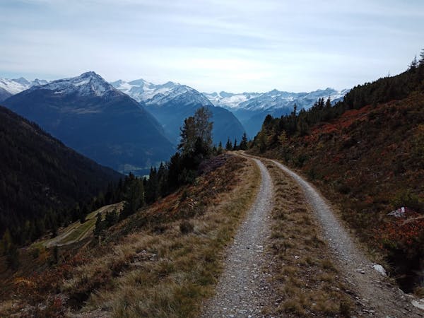
This is a brilliant ride taking in a huge amount of amazing scenery in return for very little effort on your part. Ride both sections of the Rosenalmbahn gondola to the top station and then saddle up and follow a jeep track which initially goes north-east and then swings around south and climbs gently to pass under the cables of the Karspitzebahn.
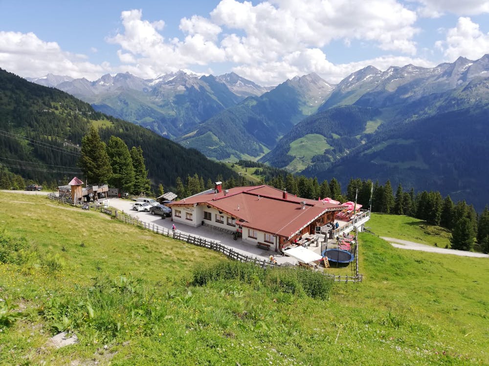
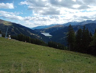
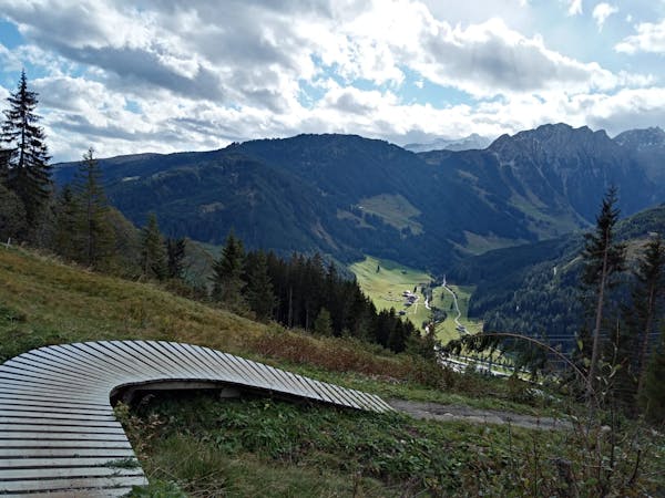
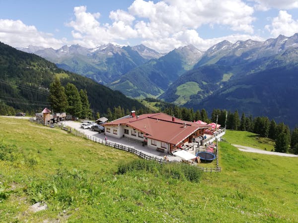
Keep climbing and then pass around a blunt rib and begin descending gently towards the Kreuzwiesenalm. In a breathtakingly strong field, this might be one of the best located huts in all of Austria; it faces south and has truly magnificent views across the nearby peaks such as the Brandberger Kolm (which is described elsewhere in FATMAP) and the big, wild peaks of the Tauern region such as the Reichenspitze. As if all that wasn't enough, it's an exceptionally welcoming place with a wonderful terrace and even a trampoline to play on!
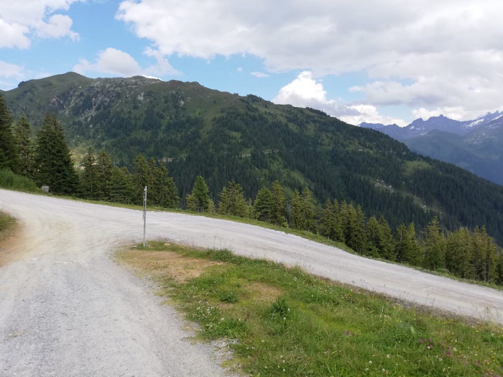
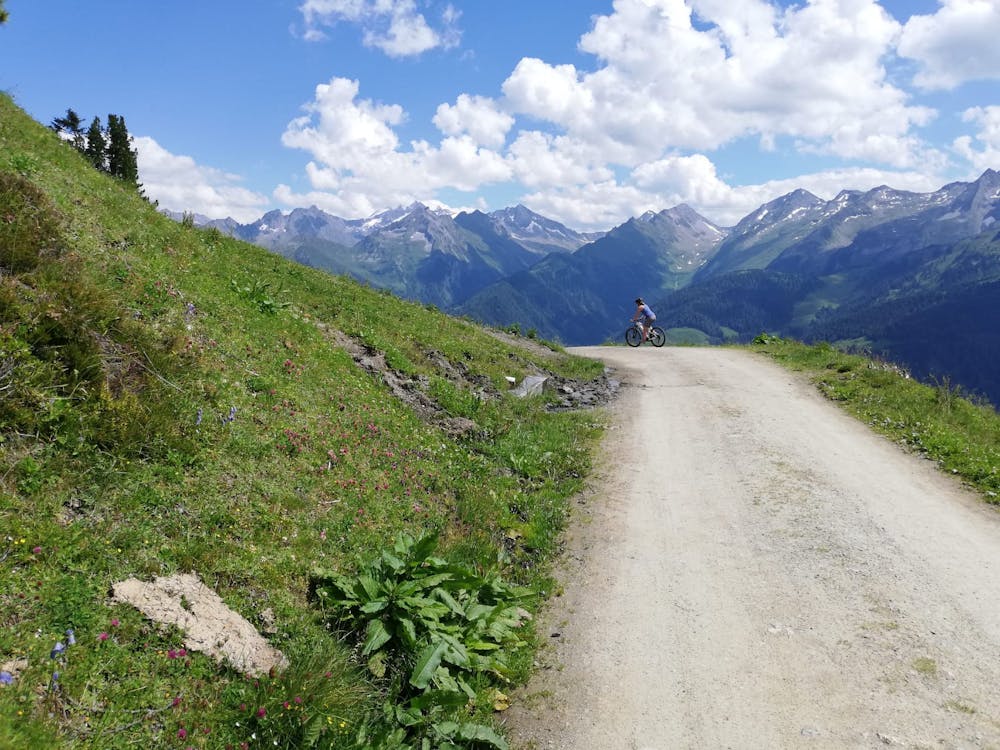
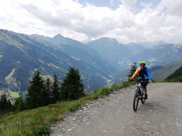
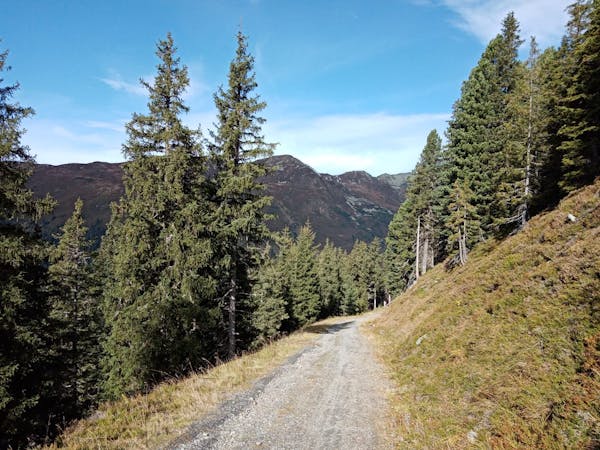
Tear yourself away and make a long, undulating traverse beneath the Richtberg on a beautiful jeep track which hangs high above the village of Gmünd. You'll pass some charming, bucolic chalets on the traverse and there's not much uphill remaining after you leave the Kreuzwiesenalm so you can take time to enjoy the mountains and farm buildings. Eventually the track begins to descend and zig zags down to the road which links Gmünd with Gerlos.
Turn right on the road and follow it through Gmünd and on to Hainzenberg before zipping down some fun hairpin bends back to the foot of the Rosenalmbahn gondola.
Moderate
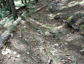
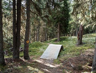
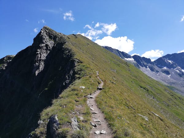
Mostly stable trail tread with some variability, with unavoidable obstacles 8in/20cm tall or less. Other obstacles such as rock gullies and steep sections may exist. Ideal for lower intermediate riders.

The trail contains some obstacles such as outcroppings and rock which could cause injury.
Away from help but easily accessed.
7 km away
A gorgeous ride far from the crowds.
Moderate Mountain Biking
7 km away
Smile-inducing riding on a natural, rocky trail.
Difficult Mountain Biking
7 km away
A brilliant and technical journey beneath the Isskogelbahn cables.
Severe Mountain Biking
7 km away
The toughest line at Isskogelbahn!
Extreme Mountain Biking
7.1 km away
A short and tricky detour from the ISS Flow trail.
Severe Mountain Biking
7.4 km away
One of the most fun runs in the Austrian Alps!
Difficult Mountain Biking
9.6 km away
Peaceful forest tracks lead to a gorgeous Tirolian mountain hut.
Moderate Mountain Biking
7 routes · Mountain Biking
8 routes · Mountain Biking · Hiking · Road Biking
4 routes · Mountain Biking
5 routes · Mountain Biking
5 routes · Mountain Biking · Hiking

24 routes · Mountain Biking
10 routes · Mountain Biking
8 routes · Mountain Biking · Hiking · Road Biking