1.1 km away
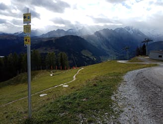
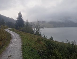
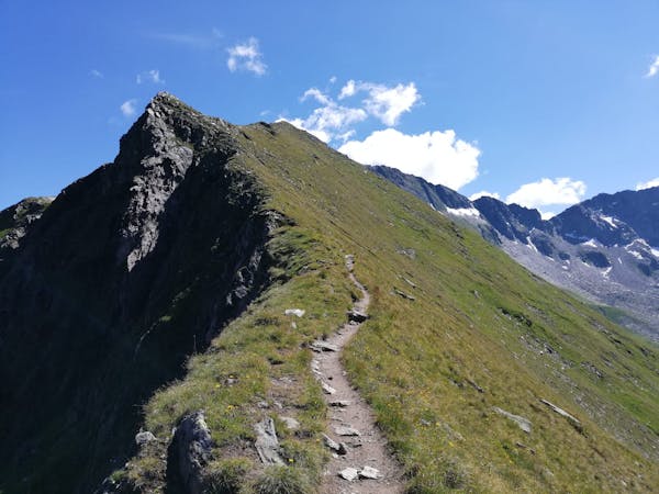
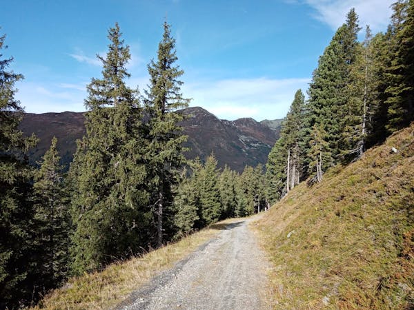
Isskogel Loop
A gorgeous ride far from the crowds.
Moderate Mountain Biking
- Distance
- 17 km
- Ascent
- 470 m
- Descent
- 1.1 km
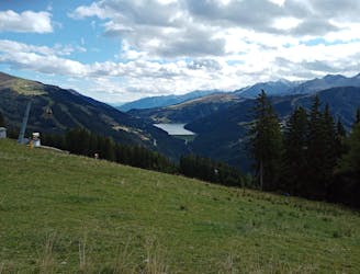
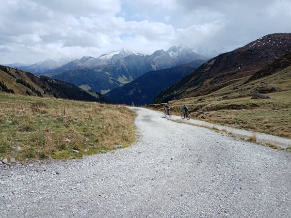
One of the most fun runs in the Austrian Alps!
Mountain Biking Difficult

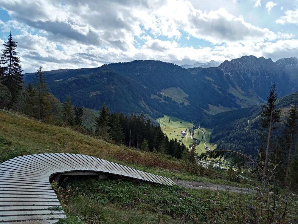
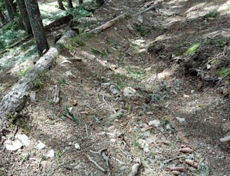
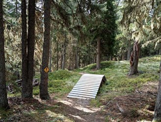
This line sits below all the other technical routes at Isskogelbahn and is therefore rideable at the end of every descent from the cable car. No matter how many times you do it in a day, it's always likely to make you smile!
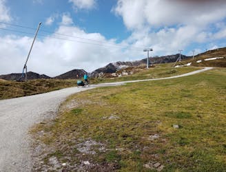
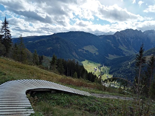
The route starts directly beneath the cables of the Dorfbahn lift and is clearly signposted. Drop left off the road under the lift cables and then, 20 metres later, do a hard right turn to reach the trail proper.
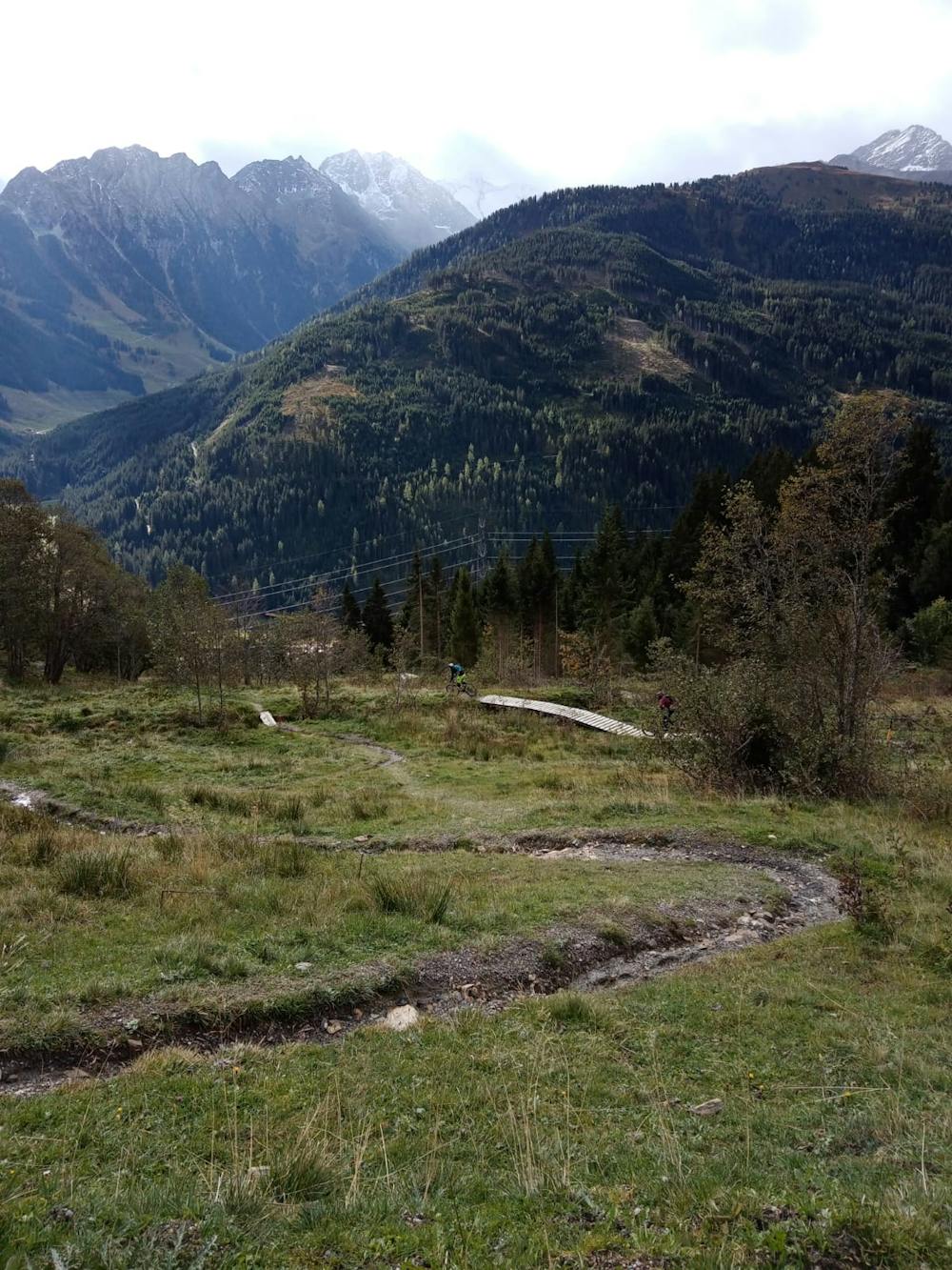
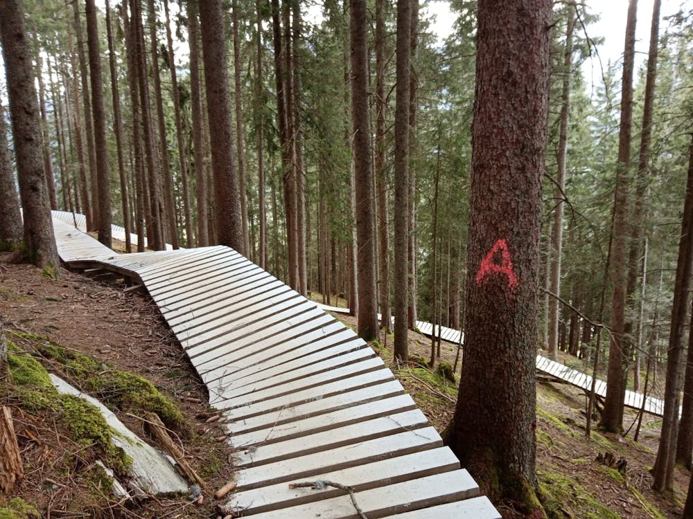
The riding is generally pretty straightforward and not dissimilar to the ISS Flow - expect rocky but neverly overly challenging riding. The big difference here is that on this line there are many huge northshore (wooden) features and they are epically fun! None are too tricky and they're really well built so even those new to this genre of riding can enjoy them, and those with a bit more experience can challenge themselves too by trying to ride them quickly. Whatever speed you take them, rattling along the huge wooden ramps is brilliant fun but make sure you don't fall off them - several are high enough off the ground that a fall would be particularly unappetising!
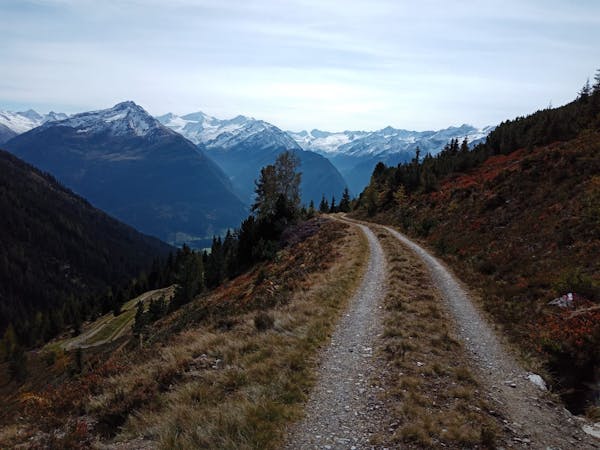
The only "problem" with the trail is that it isn't long enough and, sooner than you'd like, you'll find yourself at a small gate which marks the end of the line. Go through the gate, turn left and then follow a fast and flowy road down to the edge of Gerlos village. Ride a couple of hundred metres along a flat road back to the lift station.
Difficult
Mostly stable trail tread with some variability featuring larger and more unavoidable obstacles that may include, but not be limited to: bigger stones, roots, steps, and narrow curves. Compared to lower intermediate, technical difficulty is more advanced and grades of slopes are steeper. Ideal for upper intermediate riders.

Some trail sections have exposed ledges or steep ascents/descents where falling could cause serious injury.

Away from help but easily accessed.
1.1 km away
A gorgeous ride far from the crowds.
Moderate Mountain Biking
1.1 km away
Smile-inducing riding on a natural, rocky trail.
Difficult Mountain Biking
1.1 km away
A brilliant and technical journey beneath the Isskogelbahn cables.
Severe Mountain Biking
1.1 km away
The toughest line at Isskogelbahn!
Extreme Mountain Biking
1.1 km away
A short and tricky detour from the ISS Flow trail.
Severe Mountain Biking
5.8 km away
A beautiful loop around 2 gorgeous lakes and a short detour up to a rustic mountain hut.
Moderate Mountain Biking
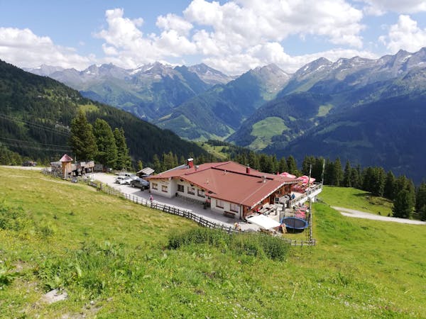
7.4 km away
Bike to one of the Zillertal's best huts and down into a peaceful valley.
Moderate Mountain Biking
7.8 km away
A satisfying ride up into a barren valley and then a great, rocky descent.
Difficult Mountain Biking
7 routes · Mountain Biking
8 routes · Mountain Biking · Hiking · Road Biking
4 routes · Mountain Biking
5 routes · Mountain Biking
5 routes · Mountain Biking · Hiking

24 routes · Mountain Biking
10 routes · Mountain Biking
8 routes · Mountain Biking · Hiking · Road Biking