305 m away
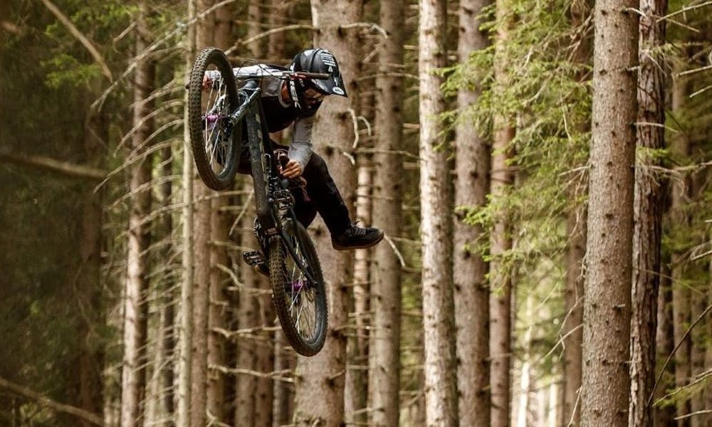
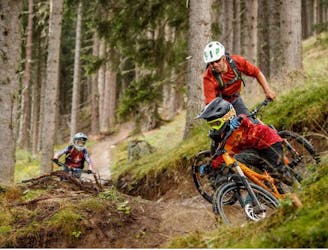
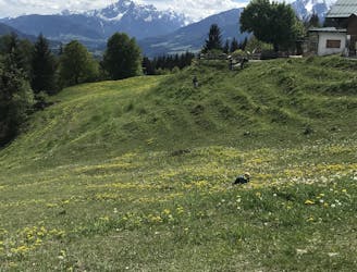
The Straight One
A fast and technical downhill track!
Severe Mountain Biking
- Distance
- 3 km
- Ascent
- 0 m
- Descent
- 521 m
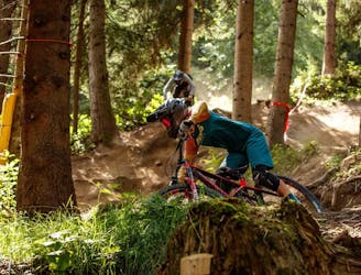
Our highlight for advanced riders. The jumpline lets you fly 14x high. The tables, shark fins, road gaps and even more play freedoms make the hearts of all airtime lovers beat faster.
Mountain Biking Difficult

This is a popular mountain biking route which is generally considered to be difficult. It's not remote, it features medium exposure and is typically done between May and October. From a low point of 1.4 km to the maximum altitude of 1.4 km, the route covers 438 m, 0 vertical metres of ascent and 42 vertical metres of descent.
Our highlight for advanced riders. The jumpline lets you fly 14x high. The tables, shark fins, road gaps and even more play freedoms make the hearts of all airtime lovers beat faster.
Difficult
Mostly stable trail tread with some variability featuring larger and more unavoidable obstacles that may include, but not be limited to: bigger stones, roots, steps, and narrow curves. Compared to lower intermediate, technical difficulty is more advanced and grades of slopes are steeper. Ideal for upper intermediate riders.

The trail contains some obstacles such as outcroppings and rock which could cause injury.

Close to help in case of emergency.
305 m away
A fast and technical downhill track!
Severe Mountain Biking
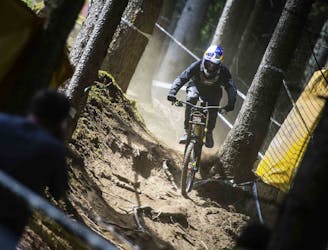
679 m away
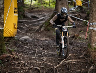
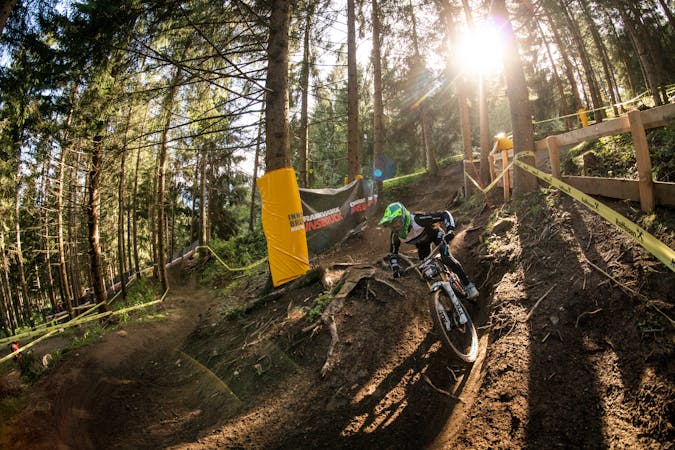
Competition Track of deuter Downhill presented by Raiffeisen Club 2021
Extreme Mountain Biking
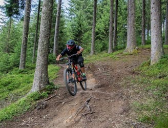
763 m away
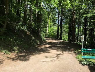
An exciting varied and natural trail in the woods.
Difficult Mountain Biking
775 m away
Downhill fun for the whole family!
Easy Mountain Biking
1.4 km away
Fast, playful, winding trail.
Difficult Mountain Biking
1.8 km away
Natural technical singletrack.
Severe Mountain Biking
2 km away
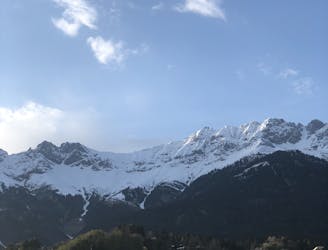
A medium difficulty, circular route on the southern side of the Inn Valley. The elevation gain is just under 900m, but all the uphill is covered in the first half, allowing for an easy finish after lunch!
Moderate Mountain Biking
7.3 km away
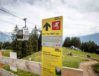
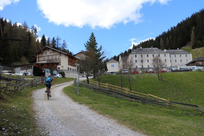
All the way up from the city to Arzler Alm - where the single trail starts.
Moderate Mountain Biking
7.3 km away
A nice spin on the cycling paths alongside the Inn.
Easy Mountain Biking
7.3 km away
Mini Gravel route just outside the city center.
Easy Mountain Biking
5 routes · Mountain Biking
2 routes · Mountain Biking
7 routes · Mountain Biking