31 m away
Trittkopf
Freeride tour for skiers & split-boarders
Difficult Freeride Skiing
- Distance
- 6.2 km
- Ascent
- 384 m
- Descent
- 1.1 km
Challenging terrain for the experienced on leeside slopes.
Freeride Skiing Severe

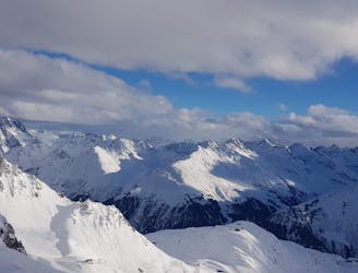
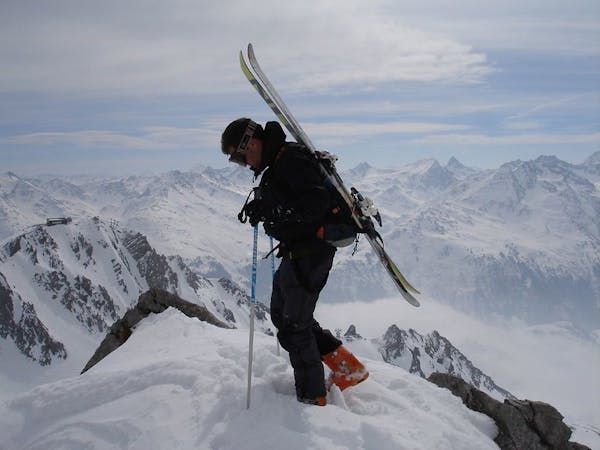
From top of the Trittkopf gondola turn left and start hiking up to the antenna. Beware, here is usually a large cornice along the entire ridge so do not get too close to the edge, this also indicates the run is on the leeside. From the antenna head down towards a broad shoulder then head right onto some steep then levelling out terrain into the Pazueltal valley where one will connect with the freeride route from Valluga. There are many options to take once off the broad shoulder and there is some amazing fun terrain to be found in this valley and all lines will lead to the Pazueltal valley and then eventually onto the Trittalpe chairlift. The lower part of this run can be accessed via the Hexenboden chairlift and a traverse around the shoulder. This valley has a great feeling of being far away from the ski area and a true backcountry feel yet still accessible via lifts.
Severe
Steep skiing at 38-45 degrees. This requires very good technique and the risk of falling has serious consequences.

As well as the slope itself, there are some obstacles (such as rock outcrops) which could aggravate injury.

Little chance of being seen or helped in case of an accident.
31 m away
Freeride tour for skiers & split-boarders
Difficult Freeride Skiing
587 m away

Superb long run with often deep powder.
Difficult Freeride Skiing
2.3 km away

An enjoyable south facing run over St.Christoph.
Moderate Freeride Skiing
3.5 km away

Wide slopes and not too challeging in the Zurs front country.
Easy Freeride Skiing
3.7 km away

A good run for dry powder in the Zurs front country.
Moderate Freeride Skiing
3.8 km away

A superb wide open run with great views. A classic Zurs freeride.
Difficult Freeride Skiing
3.8 km away

A nice moderate run with options of steep terrain and small trees. Possible in poorer visibility.
Moderate Freeride Skiing
3.8 km away

A nice moderate open run down to Zurs-worth the traverse.
Moderate Freeride Skiing
4.9 km away

A classic Albona long wide open run finishing in the town of Stuben.
Moderate Freeride Skiing
4.9 km away

An Arlberg classic run for experienced skiers and riders.
Difficult Freeride Skiing
10 routes · Freeride Skiing