17 m away
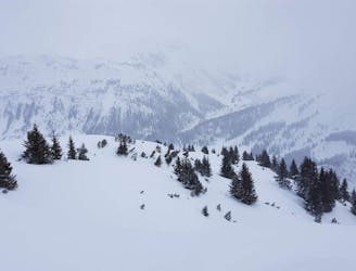
Gamsroute

A great Zurs freeride run for experienced skiers and riders.
Difficult Freeride Skiing
- Distance
- 3.5 km
- Ascent
- 24 m
- Descent
- 923 m
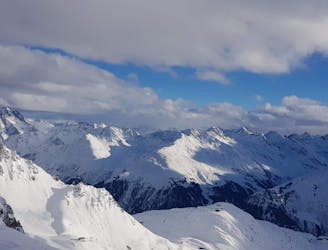
A few variants to the classic, and fairly well known
Freeride Skiing Difficult

Classic, and fairly well known, there are also a few variants to it, we'll describe two and a half...
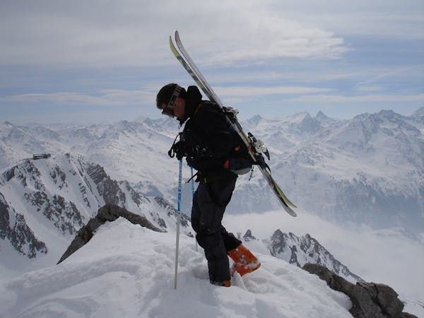
Classic one: https://fatmap.com/routeid/2754690/madlochjoch-to-zug
This one: Leave the Madlochjoch chairlift straight and follow the piste until you pass some short uphill section. Ideally take some speed before to avoid having to step uphill. You then see the the peak of the Stierlochkopf on the left. Turn left after it, first following the ridge then turning right once it opens up. The creek bed of the Mahderbaechli is visible, stay left of it, there is plenty of options, including a small couloir on the far left. Beware of a rock band half way down which is fairly easy to navigate unless you go completely ballistic.
An alternative from Madlochjoch is to ski out, skiers left staying as high as possible traversing over the next ridge while skiing still fairly high prior to turning right through Stierfall. From here ski all the way straight to the creek and follow the same way to Zug.
Difficult
Serious gradient of 30-38 degrees where a real risk of slipping exists.

In case of a fall, death is highly likely.

Away from help but easily accessed.
17 m away
A great Zurs freeride run for experienced skiers and riders.
Difficult Freeride Skiing
1.6 km away

A nice moderate run with options of steep terrain and small trees. Possible in poorer visibility.
Moderate Freeride Skiing
1.7 km away

A good run for dry powder in the Zurs front country.
Moderate Freeride Skiing
1.8 km away

A nice moderate open run down to Zurs-worth the traverse.
Moderate Freeride Skiing
2 km away

A superb wide open run with great views. A classic Zurs freeride.
Difficult Freeride Skiing
4.2 km away
Fun Lech off piste runs for good and bad weather.
Moderate Freeride Skiing
4.3 km away

Wide slopes and not too challeging in the Zurs front country.
Easy Freeride Skiing
5.1 km away
Freeride tour for skiers & split-boarders
Difficult Freeride Skiing
5.1 km away

Challenging terrain for the experienced on leeside slopes.
Severe Freeride Skiing
5.4 km away

Superb long run with often deep powder.
Difficult Freeride Skiing
10 routes · Freeride Skiing