611 m away
Gamsroute

A great Zurs freeride run for experienced skiers and riders.
Difficult Freeride Skiing
- Distance
- 3.5 km
- Ascent
- 24 m
- Descent
- 923 m
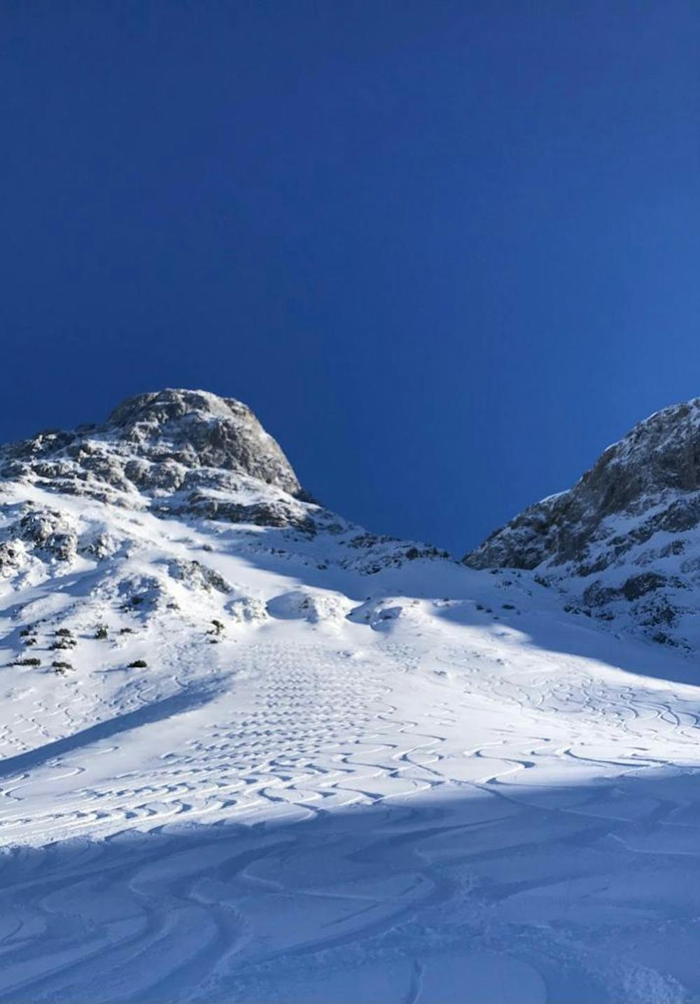
The famous Stierfall run in Lech/Zurs at the Madloch
Freeride Skiing Difficult

Start the Stierfall by going left at the big Weisse Ring sign. The first part is the most tricky part, because of the short couloir you have to go through. Thereafter you ski the narrow part of the run, where there are good snowconditions all year around due to the shades of the mountain. The last part is the most beautiful part of the run, because the mountain opens up and you can pick your own line by skiing straight down or by traversing to the right. When you have reached the Stierlochbach, follow the path until you reach the Zugerberg chairlift. Make sure you have good avalanche equipment, when performing this run!
Difficult
Serious gradient of 30-38 degrees where a real risk of slipping exists.

As well as the slope itself, there are some obstacles (such as rock outcrops) which could aggravate injury.
Away from help but easily accessed.
611 m away
A great Zurs freeride run for experienced skiers and riders.
Difficult Freeride Skiing
2.2 km away

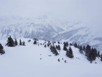
A nice moderate run with options of steep terrain and small trees. Possible in poorer visibility.
Moderate Freeride Skiing
2.2 km away

A good run for dry powder in the Zurs front country.
Moderate Freeride Skiing
2.3 km away

A nice moderate open run down to Zurs-worth the traverse.
Moderate Freeride Skiing
2.5 km away

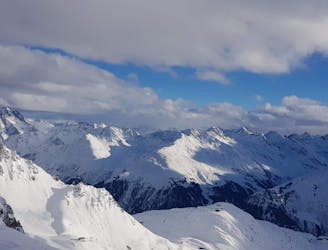
A superb wide open run with great views. A classic Zurs freeride.
Difficult Freeride Skiing
3.9 km away
Fun Lech off piste runs for good and bad weather.
Moderate Freeride Skiing
4.7 km away

Wide slopes and not too challeging in the Zurs front country.
Easy Freeride Skiing
5.7 km away
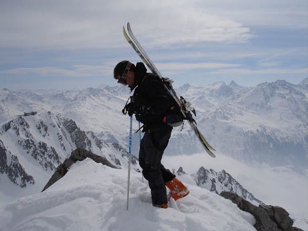
Freeride tour for skiers & split-boarders
Difficult Freeride Skiing
5.7 km away

Challenging terrain for the experienced on leeside slopes.
Severe Freeride Skiing
6 km away

Superb long run with often deep powder.
Difficult Freeride Skiing
10 routes · Freeride Skiing