66 m away
Emerald Triangle Loop
Hands-down one of Yoho’s best all-day hikes, this loop combines the scenic shore of Emerald Lake with high-elevation vantage on the Wapta Highline.
Difficult Hiking
- Distance
- 18 km
- Ascent
- 1.1 km
- Descent
- 1.1 km
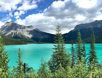
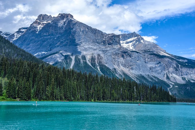
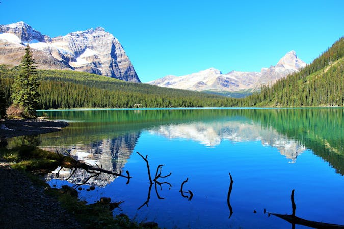
A peaceful stroll around the shore of a stunning alpine lake.
Hiking Easy

This loop provides a nice variety of scenery in its short distance, and with minimal elevation gain. Gazing over the blue-green water, you'll see jagged peaks crowned with glaciers and streaked with avalanche paths, and even streaming with waterfalls. You'll pass through two distinct forest types–more open and sunny on the west side, and denser and wetter on the east side. In between is a broad, nearly treeless meadow where criss-crossed streams feed the lake from a glacial plain.
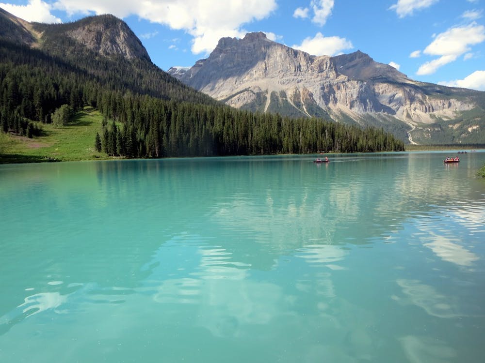
This walk is best enjoyed slowly, taking time to take it all in. Use a map to see if you can name the peaks and their glaciers, try to identify trees and flowers you find, dip your toes in the icy water, and take lots of pictures.
Source: https://www.pc.gc.ca/en/pn-np/bc/yoho/activ/randonnee-hike/courte-short
Easy
Walking along a well-kept trail that’s mostly flat. No obstacles are present.

The path is on completely flat land and potential injury is limited to falling over.
Close to help in case of emergency.
66 m away
Hands-down one of Yoho’s best all-day hikes, this loop combines the scenic shore of Emerald Lake with high-elevation vantage on the Wapta Highline.
Difficult Hiking
74 m away
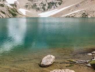
A strenuous hike to a secluded lake, for those who love solitude.
Difficult Hiking
7.6 km away
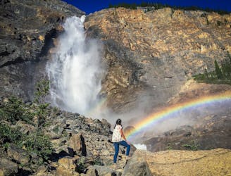
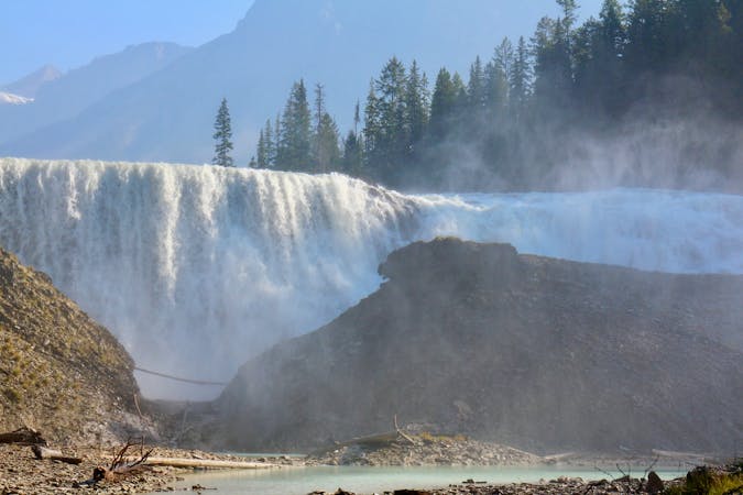
Short walk to a better view of Yoho's tallest waterfall.
Easy Hiking
7.6 km away
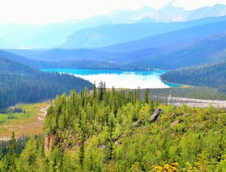
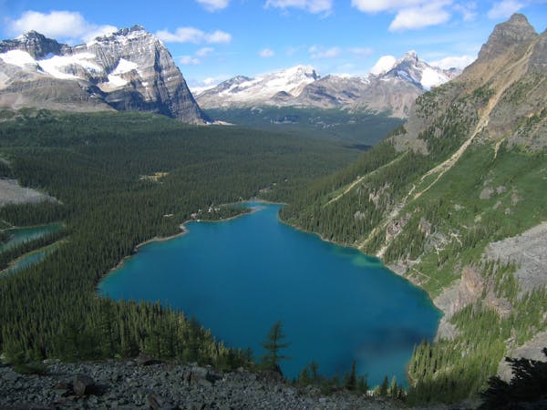
Hike over Yoho Pass to link some of the park’s most iconic sights in half a day.
Difficult Hiking
7.7 km away
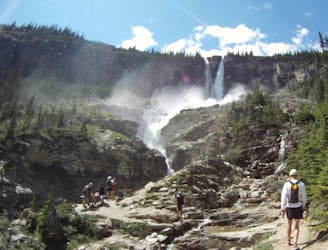
Yoho’s best trek for waterfall viewing, making a challenging one-day or overnight circuit.
Difficult Hiking
4 routes · Hiking
4 routes · Hiking
7 routes · Hiking
5 routes · Hiking