37 m away
Takakkaw Falls to Emerald Lake
Hike over Yoho Pass to link some of the park’s most iconic sights in half a day.
Difficult Hiking
- Distance
- 11 km
- Ascent
- 426 m
- Descent
- 633 m
Short walk to a better view of Yoho's tallest waterfall.
Hiking Easy

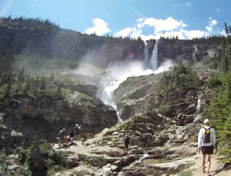
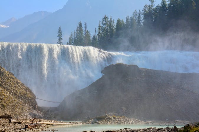
At 373 metres tall, Takakkaw Falls is among the tallest in Canada. You can see it from your car on Yoho Valley Road, but you can also take a walk to stand in its torrential spray. A paved path leads from the parking area toward the falls. Where the path runs into a boulder field, you must scramble among slippery rocks if you want to get closer. Those not wishing to risk injury can stay back and get wonderful photos from the trail, but won’t feel much of the spray.
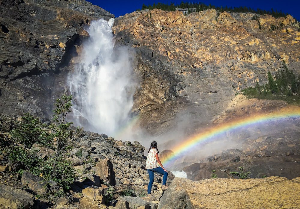
This waterfall remains spectacular year-round but reaches its peak flow in late spring with snowmelt. In summer and fall, it continues to flow, fed by a glacier high above, and in winter, it can freeze solid. When snowy, the walk may require snowshoes or traction devices.
The Takakkaw Falls trailhead is the starting point for many other hikes in the Yoho Valley. Thus, it’s a popular area. Arrive early to secure parking. In the summer, you can stay at the nearby campground or hostel in order to maximize your time on the trails.
Sources: https://www.pc.gc.ca/en/pn-np/bc/yoho/activ/places https://en.wikipedia.org/wiki/TakakkawFalls
Easy
Walking along a well-kept trail that’s mostly flat. No obstacles are present.

The trail contains some obstacles such as outcroppings and rock which could cause injury.

Close to help in case of emergency.
37 m away
Hike over Yoho Pass to link some of the park’s most iconic sights in half a day.
Difficult Hiking
53 m away
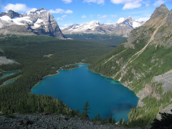
Yoho’s best trek for waterfall viewing, making a challenging one-day or overnight circuit.
Difficult Hiking
7.6 km away
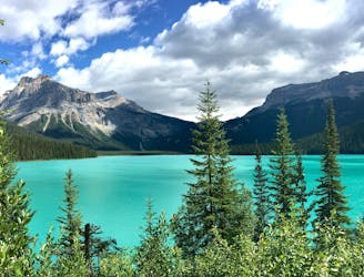
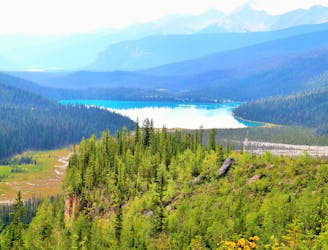
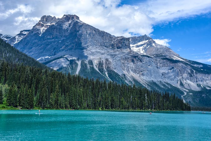
Hands-down one of Yoho’s best all-day hikes, this loop combines the scenic shore of Emerald Lake with high-elevation vantage on the Wapta Highline.
Difficult Hiking
7.6 km away
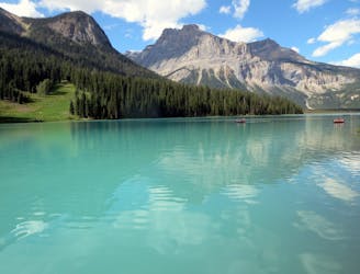
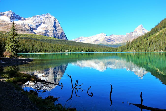
A peaceful stroll around the shore of a stunning alpine lake.
Easy Hiking
7.7 km away
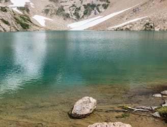
A strenuous hike to a secluded lake, for those who love solitude.
Difficult Hiking
4 routes · Hiking
4 routes · Hiking
7 routes · Hiking
5 routes · Hiking