74 m away
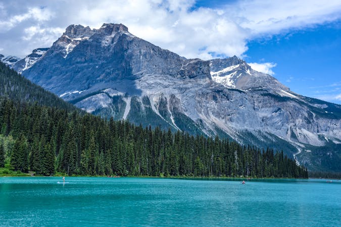
Emerald Lake Loop
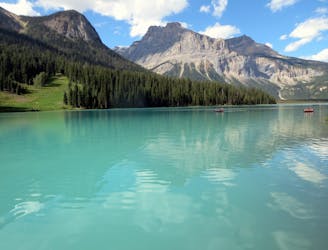
A peaceful stroll around the shore of a stunning alpine lake.
Easy Hiking
- Distance
- 5.2 km
- Ascent
- 98 m
- Descent
- 98 m
A strenuous hike to a secluded lake, for those who love solitude.
Hiking Difficult

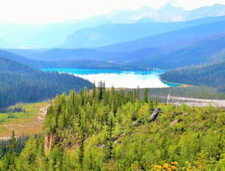
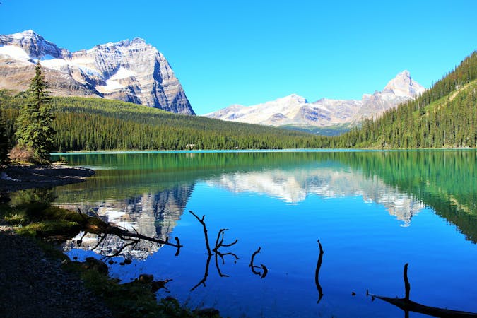
Hamilton Lake is an alpine tarn tucked in a narrow cirque of cliffs, above treeline and high above Emerald Lake. To get there, you’ll take the easy hike to Hamilton Falls, then proceed up many switchbacks hundreds of metres of elevation. This slog through moist and sometimes buggy forest keeps most people away, but efforts are rewarded by climbing above the trees.
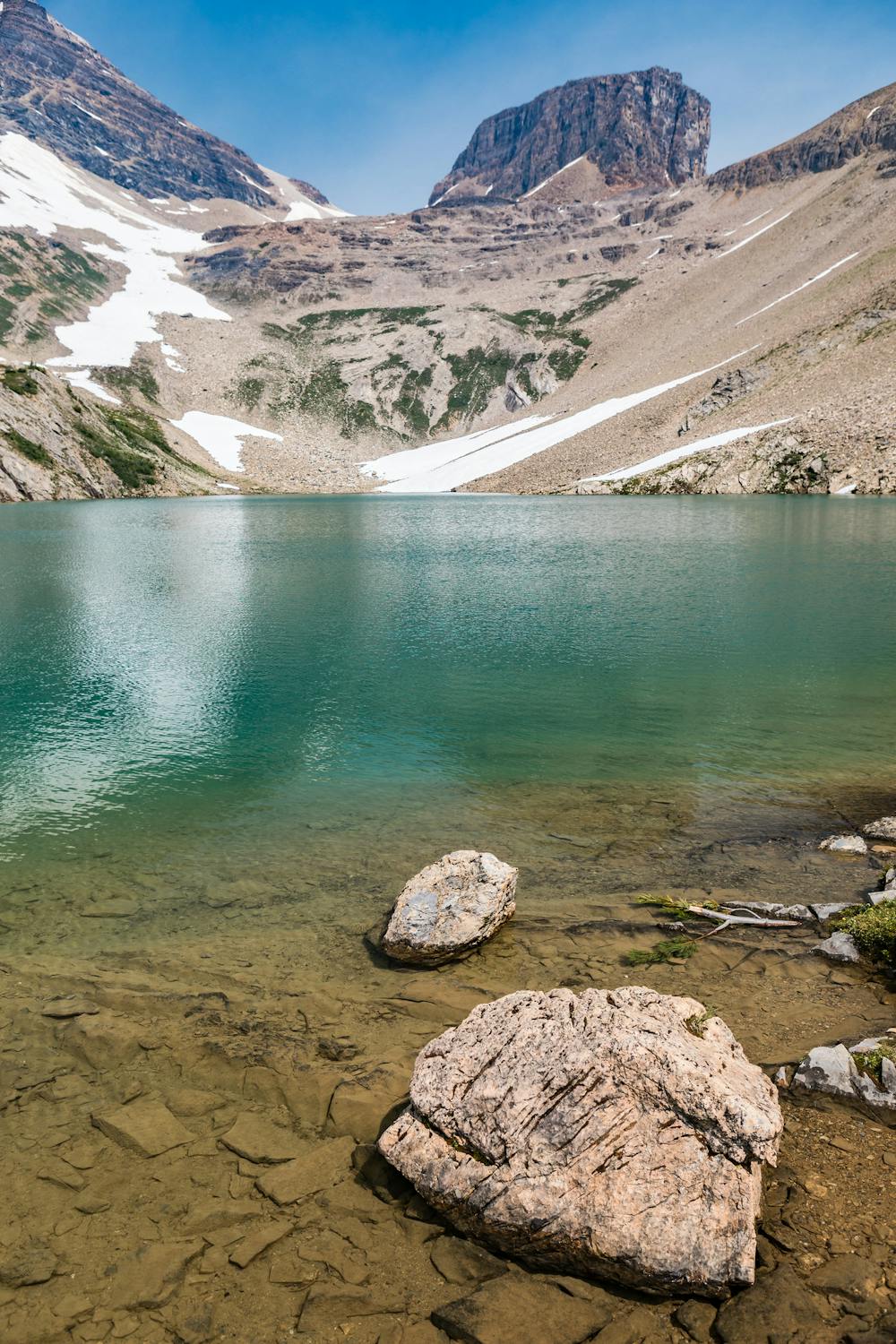
Behind you are huge views over a long river valley bound by mountains, and ahead lies Hamilton Lake. It’s a pristine pool of turquoise in a steep-sided bowl with interesting geology. If the weather is nice, you’ll want to linger on its shore in hard-earned solitude.
Sources: https://www.pc.gc.ca/en/pn-np/bc/yoho/activ/randonnee-hike/jour-day
Difficult
Hiking trails where obstacles such as rocks or roots are prevalent. Some obstacles can require care to step over or around. At times, the trail can be worn and eroded. The grade of the trail is generally quite steep, and can often lead to strenuous hiking.

The trail contains some obstacles such as outcroppings and rock which could cause injury.

Little chance of being seen or helped in case of an accident.
74 m away
A peaceful stroll around the shore of a stunning alpine lake.
Easy Hiking
139 m away
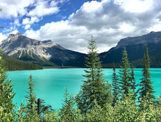
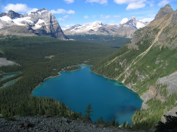
Hands-down one of Yoho’s best all-day hikes, this loop combines the scenic shore of Emerald Lake with high-elevation vantage on the Wapta Highline.
Difficult Hiking
7.7 km away
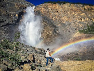
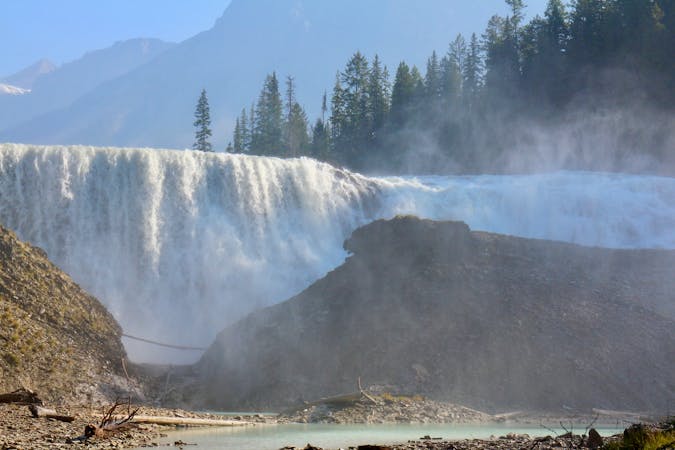
Short walk to a better view of Yoho's tallest waterfall.
Easy Hiking
7.7 km away
Hike over Yoho Pass to link some of the park’s most iconic sights in half a day.
Difficult Hiking
7.7 km away
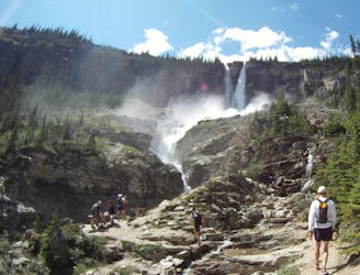
Yoho’s best trek for waterfall viewing, making a challenging one-day or overnight circuit.
Difficult Hiking
4 routes · Hiking
4 routes · Hiking
7 routes · Hiking
5 routes · Hiking