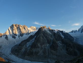
3.4 km away
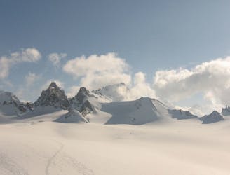
Petite Verte
Although short, this route packs in plenty of adventure and has a wonderful high mountain ambience.
Moderate Alpine Climbing
- Distance
- 1.2 km
- Ascent
- 264 m
- Descent
- 264 m
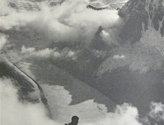
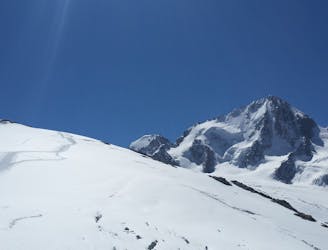
Couloir Y 450m AD y bajada por la normal PD+ ruta realizada con Michel Gonzalez.
Alpine Climbing Moderate

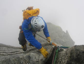
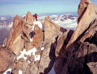
This is a popular alpine climbing route which is generally considered to be moderate. It's remote, it features medium exposure and is typically done between May and June. From a low point of 2.8 km to the maximum altitude of 3.8 km, the route covers 7.5 km, 1175 vertical metres of ascent and 1171 vertical metres of descent. You'll need crampons, glacier kit, 2 ice axes and wires and friends to complete it safely.


Couloir Y 450m AD y bajada por la normal PD
Moderate
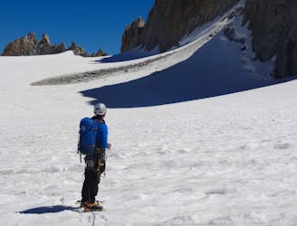
May involve slightly more complex glacier hikes, easy but possibly long rock ridges and steep snow up to 45 degrees. Equivalent to PD, PD+

The route features some exposed and/or difficult to protect sections.
Away from help but easily accessed.
3.4 km away
Although short, this route packs in plenty of adventure and has a wonderful high mountain ambience.
Moderate Alpine Climbing
4.6 km away
A breathtaking viewpoint via an interesting (but never particularly hard) route.
Difficult Alpine Climbing
5 km away
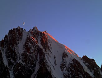
One of the toughest classic 4000m peaks which enjoys some of the finest views in the range.
Difficult Alpine Climbing
5 km away
A remote mountain, famed by the routes on its N Face, is a challenging climb from any side.
Difficult Alpine Climbing
5 km away
A classic route up a rocky peak with legendary views of the Mont Blanc Massif
Moderate Alpine Climbing
5.7 km away
A short introductory North Face with a long approach and descent.
Difficult Alpine Climbing
5.7 km away
A classic introductory alpine peak, with stunning views from the summit.
Easy Alpine Climbing
5.7 km away
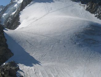
A gorgeous day across a wild glacier.
Moderate Alpine Climbing
5.7 km away
A classic easy peak which provides a wonderful journey through high and beautiful mountains.
Moderate Alpine Climbing
6.9 km away
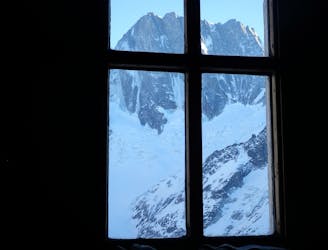
A journey up the Vallée Blanche then ladders up to a remote hut in a wild and beautiful place
Easy Alpine Climbing

12 routes · Alpine Climbing · Hiking

15 routes · Alpine Climbing · Hiking

6 routes · Alpine Climbing · Hiking

9 routes · Alpine Climbing · Hiking

9 routes · Alpine Climbing · Hiking