533 m away
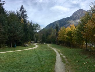
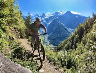
Petit Balcon Loop
A classic loop around Chamonix that's approachable for intermediate riders.
Difficult Mountain Biking
- Distance
- 21 km
- Ascent
- 702 m
- Descent
- 702 m
An interesting loop with plenty of climbing and some great riding -- never too technical, but certainly not easy.
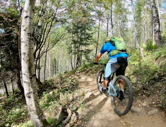
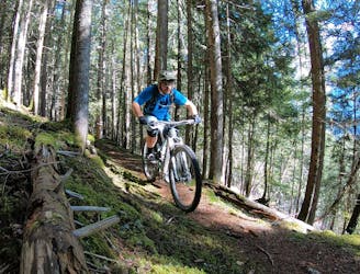
Mountain Biking Difficult

This is a popular mountain biking route which is generally considered to be difficult. It's an unknown remoteness, it features unknown exposure and is typically done in an unknown time of year. From a low point of 814 m to the maximum altitude of 1.5 km, the route covers 41 km, 1646 vertical metres of ascent and 1646 vertical metres of descent.
A long, entertaining ride from Chamonix.
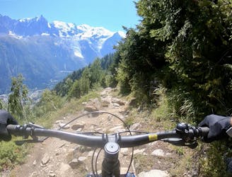
Difficult
Mostly stable trail tread with some variability featuring larger and more unavoidable obstacles that may include, but not be limited to: bigger stones, roots, steps, and narrow curves. Compared to lower intermediate, technical difficulty is more advanced and grades of slopes are steeper. Ideal for upper intermediate riders.
533 m away
A classic loop around Chamonix that's approachable for intermediate riders.
Difficult Mountain Biking
534 m away
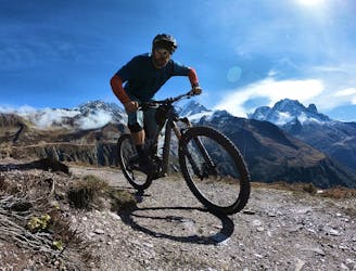
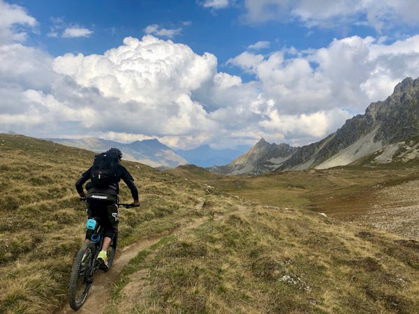
An epic loop ride with a stunning high alpine singletrack traverse as a reward
Severe Mountain Biking
534 m away
An easy tour through Chamonix valley, followed by two hard and long climbs to Lax des Champex.
Moderate Mountain Biking
607 m away
If the lifts are closed or you have a motor attached to your bike, use this loop route to access Charlanon.
Severe Mountain Biking
695 m away
The easiest mountain bike ride in Chamonix.
Easy Mountain Biking
705 m away
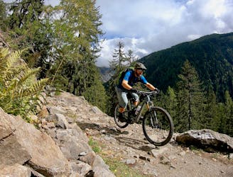
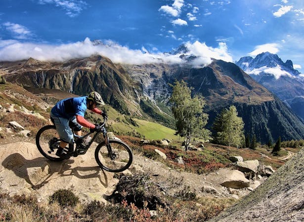
A quick hit of singletrack gnar accessible directly from downtown Chamonix.
Severe Mountain Biking
1.9 km away
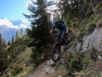
An ultra-technical switchbacked descent from the Planpraz lift.
Extreme Mountain Biking
1.9 km away
Brevent’s only designated mountain bike trail, this enduro-style descent on fully natural singletrack is sure to test even the best riders.
Severe Mountain Biking
3.3 km away
An iconic Chamonix singletrack descent.
Severe Mountain Biking
6.7 km away
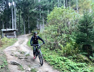
Mostly smooth, flowy singletrack trails rolling through deep forests.
Moderate Mountain Biking
4 routes · Mountain Biking
14 routes · Mountain Biking
4 routes · Mountain Biking · Gravel Biking
5 routes · Mountain Biking