1.2 km away
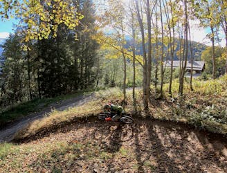
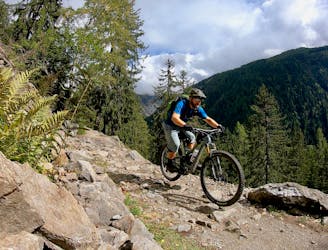
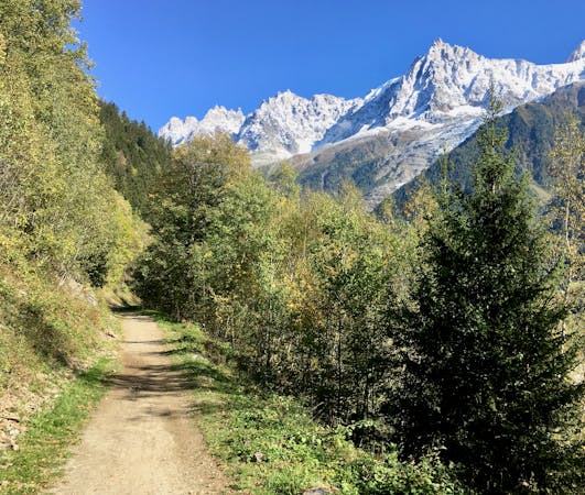
Merlet Loop
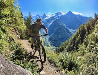
An iconic Chamonix singletrack descent.
Severe Mountain Biking
- Distance
- 12 km
- Ascent
- 645 m
- Descent
- 645 m
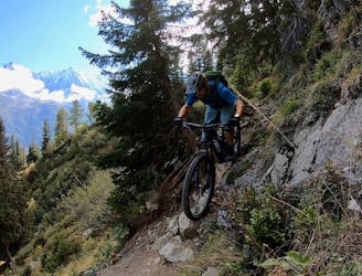
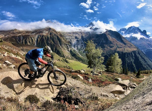
A fantastic excellent, technical singletrack that is almost all downhill through the forest.
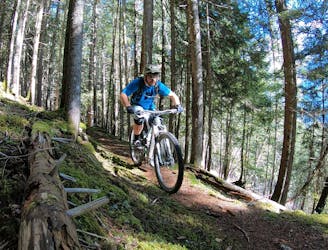
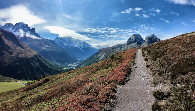
Mountain Biking Severe

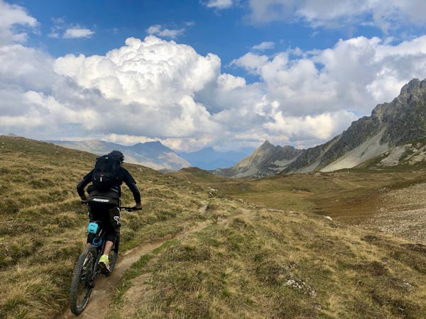
This is a popular mountain biking route which is generally considered to be severe. It's an unknown remoteness, it features unknown exposure and is typically done in an unknown time of year. From a low point of 1 km to the maximum altitude of 1.5 km, the route covers 2.9 km, 10 vertical metres of ascent and 491 vertical metres of descent.
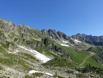
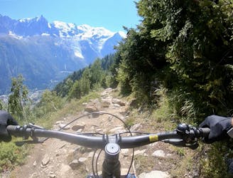
An iconic Chamonix singletrack trail.
Severe
Widely variable, narrow trail tread with steeper grades and unavoidable obstacles of 15in/38cm tall or less. Obstacles may include unavoidable bridges 24in/61cm wide or less, large rocks, gravel, difficult root sections, and more. Ideal for advanced-level riders.
1.2 km away
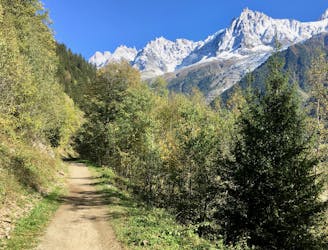
An iconic Chamonix singletrack descent.
Severe Mountain Biking
2.5 km away
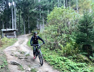
Mostly smooth, flowy singletrack trails rolling through deep forests.
Moderate Mountain Biking
2.5 km away
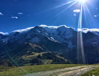
A mellow ride up and down the Chamonix valley that's mostly on gravel.
Easy Mountain Biking
3.5 km away
An ambitious lollipop route that crosses le Prarion ridge twice.
Easy Mountain Biking
3.5 km away
If you have a motor on your bike, or you prefer to just do things the hard way, loop Alpage Respect with this route.
Difficult Mountain Biking
3.6 km away
If the lifts are closed or you have a motor attached to your bike, use this loop route to access Charlanon.
Severe Mountain Biking
3.9 km away
Brevent’s only designated mountain bike trail, this enduro-style descent on fully natural singletrack is sure to test even the best riders.
Severe Mountain Biking
3.9 km away
An ultra-technical switchbacked descent from the Planpraz lift.
Extreme Mountain Biking
4.6 km away
A classic loop around Chamonix that's approachable for intermediate riders.
Difficult Mountain Biking
4.6 km away
An easy tour through Chamonix valley, followed by two hard and long climbs to Lax des Champex.
Moderate Mountain Biking
4 routes · Mountain Biking
14 routes · Mountain Biking
4 routes · Mountain Biking · Gravel Biking
5 routes · Mountain Biking