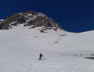
2.4 km away
Col de la Grande Pierre
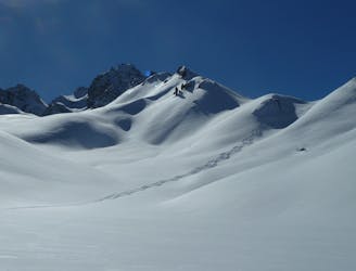
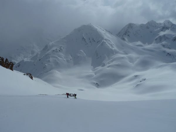
One of the easier ski tours linking Courchevel and Pralognan
Difficult Ski Touring
- Distance
- 10 km
- Ascent
- 803 m
- Descent
- 1.1 km
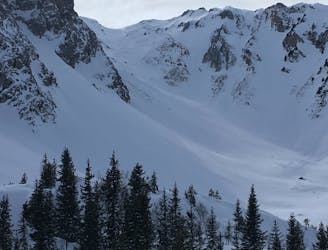
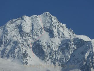
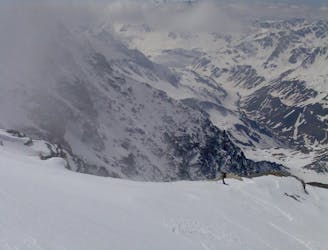
Very impressive line near Courchevel slopes, in a very alpine face
Ski Touring Severe

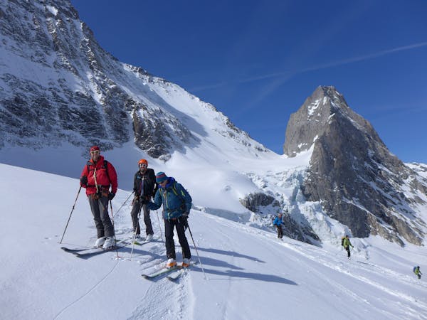
This is a popular ski touring route which is generally considered to be severe. It's remote, it features medium exposure (e2) and is typically done between December and May. From a low point of 1.8 km to the maximum altitude of 2.8 km, the route covers 15 km, 1283 vertical metres of ascent and 1284 vertical metres of descent. You'll need skins and crampons to complete it safely.
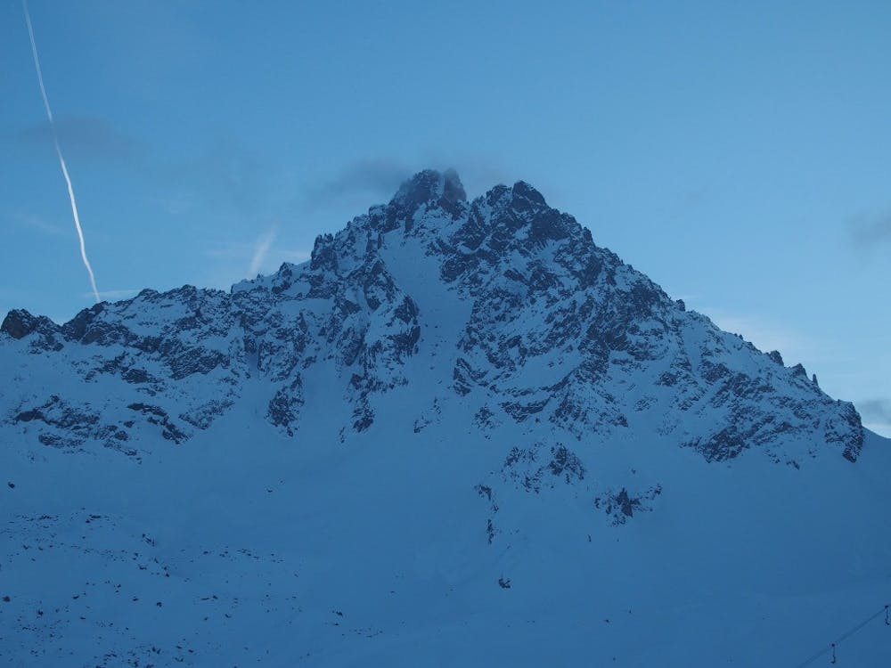
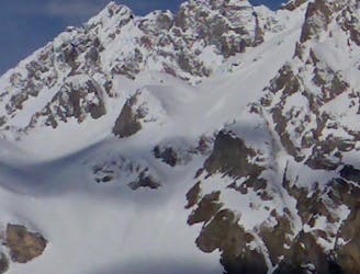
Long way on the slopes, but you will reach this very alpine summit. The couloir has two branches, the left one reaches the highest point. The entry is quite steep (45°) and narrow but then it gets better, except a rock in the middle which can be turned by the right.
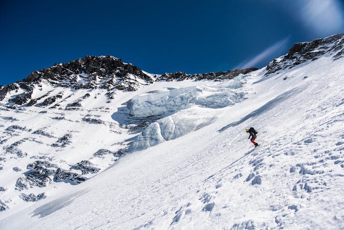
Severe
Steep skiing at 38-45 degrees. This requires very good technique and the risk of falling has serious consequences.

As well as the slope itself, there are some obstacles (such as rock outcrops) which could aggravate injury.
Away from help but easily accessed.
2.4 km away
One of the easier ski tours linking Courchevel and Pralognan
Difficult Ski Touring
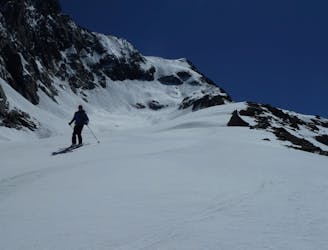
4.9 km away
A classic mellow ski tour through great scenery.
Easy Ski Touring
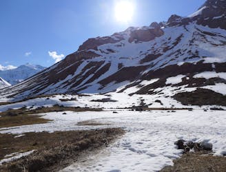
4.9 km away
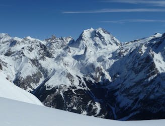
A short tour with a stunning view of the higher Vanoise peaks.
Moderate Ski Touring
4.9 km away
A great morning tour from Courchevel to Pralognan
Difficult Ski Touring
4.9 km away

A steady short tour through amenable terrain.
Moderate Ski Touring
6.1 km away
The Chauchefoin line - a Vanoise steep classic.
Extreme Ski Touring
6.2 km away
A spring-time mega-classic!
Severe Ski Touring
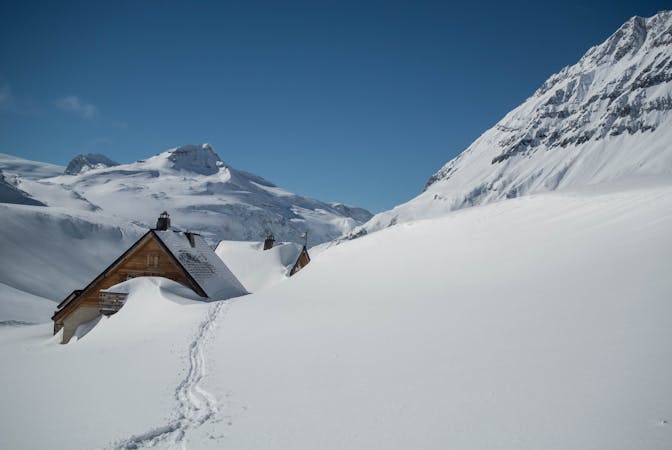
7.8 km away
A very comfortable hut and an ideal entry point into the Vanoise national park.
Easy Ski Touring
7.8 km away
A big day up on to the Glaciers de la Vanoise
Difficult Ski Touring
8 km away
Spring snow heaven!
Difficult Ski Touring
5 routes · Ski Touring
5 routes · Ski Touring
5 routes · Ski Touring
11 routes · Ski Touring