55 m away
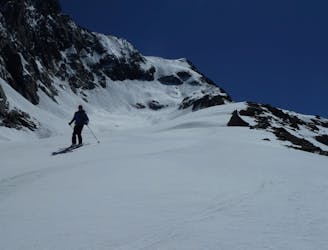
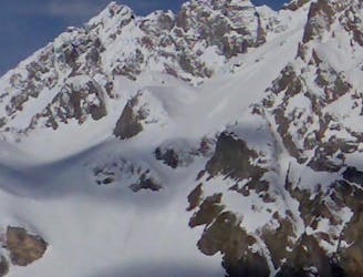
Col de la Grande Pierre
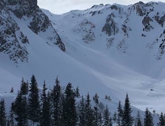
One of the easier ski tours linking Courchevel and Pralognan
Difficult Ski Touring
- Distance
- 10 km
- Ascent
- 803 m
- Descent
- 1.1 km
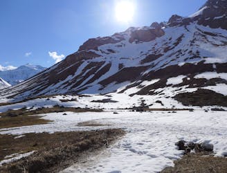
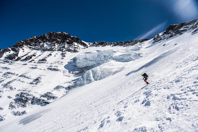
Beautiful line in the middle of the Vanoise wildlife nature
Ski Touring Difficult

This is a popular ski touring route which is generally considered to be difficult. It's not remote, it features medium exposure (e2) and is typically done between November and April. From a low point of 1.7 km to the maximum altitude of 2.6 km, the route covers 9.7 km, 931 vertical metres of ascent and 926 vertical metres of descent. It's graded 2.3 and Labande grade 3. You'll need skins to complete it safely.
Recommended hike during winter time
Difficult
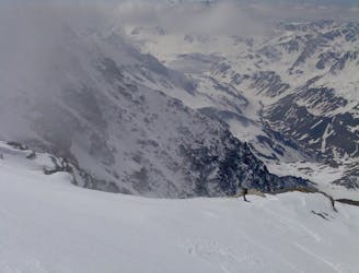
Serious gradient of 30-38 degrees where a real risk of slipping exists.

As well as the slope itself, there are some obstacles (such as rock outcrops) which could aggravate injury.

Close to help in case of emergency.
55 m away
One of the easier ski tours linking Courchevel and Pralognan
Difficult Ski Touring
4.1 km away
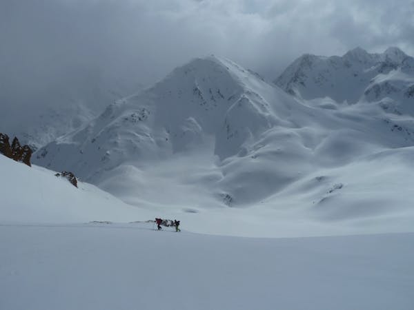
A classic mellow ski tour through great scenery.
Easy Ski Touring
4.1 km away
A short tour with a stunning view of the higher Vanoise peaks.
Moderate Ski Touring
4.1 km away

A steady short tour through amenable terrain.
Moderate Ski Touring
4.1 km away
A great morning tour from Courchevel to Pralognan
Difficult Ski Touring
4.4 km away
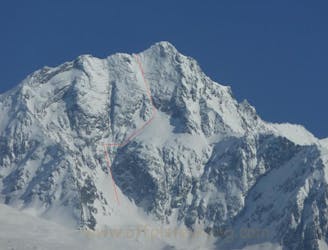
The Chauchefoin line - a Vanoise steep classic.
Extreme Ski Touring
4.7 km away
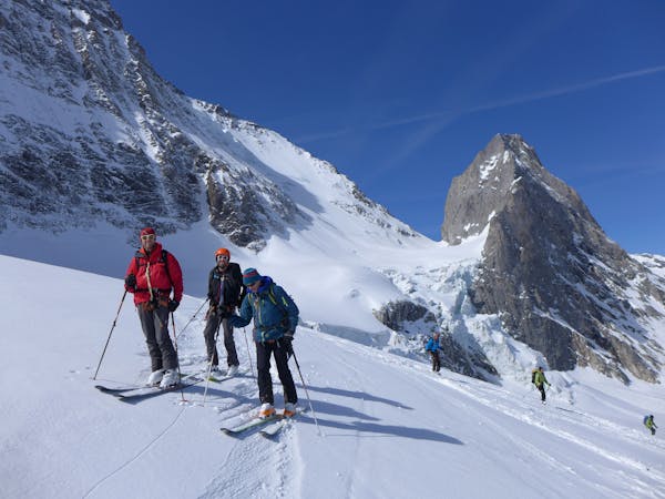
A spring-time mega-classic!
Severe Ski Touring
5.5 km away
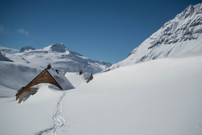
A very comfortable hut and an ideal entry point into the Vanoise national park.
Easy Ski Touring
5.5 km away
A big day up on to the Glaciers de la Vanoise
Difficult Ski Touring
5.9 km away
Spring snow heaven!
Difficult Ski Touring
5 routes · Ski Touring
5 routes · Ski Touring
5 routes · Ski Touring
11 routes · Ski Touring