6.8 km away
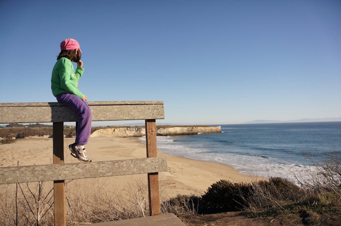
Golden Gate Promenade
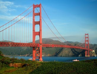
Stroll through an urban park with many activities, and enjoy views of the bay and the Golden Gate Bridge.
Easy Hiking
- Distance
- 4.3 km
- Ascent
- 57 m
- Descent
- 5 m
Views over the San Francisco Bay and rich history on the hike to the top of Mount Livermore.
Hiking Moderate

Angel Island is the largest island in the San Francisco Bay. Though it’s not as famous as its much-smaller neighbor Alcatraz, Angel has much more to offer in activities and scenery. Those include hiking, biking, camping, and cuisine. There’s also a lot of history here pertinent to wars and immigration. You can learn about it at the visitor center and by hiking the trails to see remnants of the past. Besides that, natural scenery on the island is pretty spectacular as well. By hiking this loop, you’ll get views off every side of the island, over The Bay and surrounding cities. There are shady groves, open meadows, and chapparal thickets in a patchwork covering the slopes.
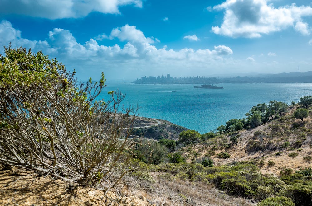
The highpoint of the island is called Mount Livermore. North Ridge Trail and Sunset Trail both reach it from different directions. This loop takes North Ridge—the longer and more scenic of the two—in the uphill direction, and Sunset Trail to go downhill. If you want to stop in the visitor center before beginning the hike, you may prefer to loop in the opposite direction, because Sunset begins nearer to the visitor center. North Ridge Trail begins right at the ferry dock, close to the Angel Island Café.
You can only reach Angel Island by ferry, either from San Francisco or from Tiburon. Buying the ferry ticket, hearing offers for Segway tours, and seeing advertisements for the café makes the place feel rather commercialized at first, but after starting the trail you’ll leave all that behind.
The trails can be crowded, but aren’t always. Most people stick to the lower elevations of the island. Hiking to the top gives the place a much wilder and natural feel, so it’s well worth the effort. There are a few picnic areas near the top where you can enjoy a packed lunch, or wait until you get down for a specialty meal at the Angel Island Café.
Sources: https://www.parks.ca.gov/?pageid=468 https://angelisland.com/hiking/ https://www.parks.ca.gov/pages/468/files/AngelIslandSPFinalWeb070618.pdf
Moderate
Hiking along trails with some uneven terrain and small hills. Small rocks and roots may be present.

The path is on completely flat land and potential injury is limited to falling over.
Close to help in case of emergency.
6.8 km away
Stroll through an urban park with many activities, and enjoy views of the bay and the Golden Gate Bridge.
Easy Hiking
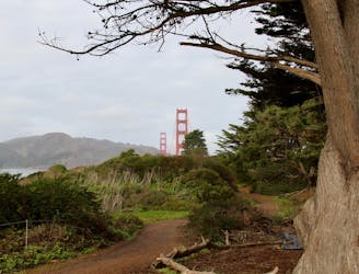
8.9 km away
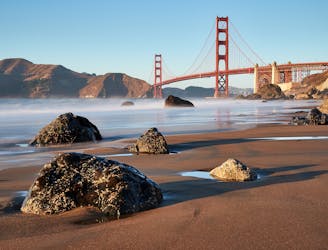
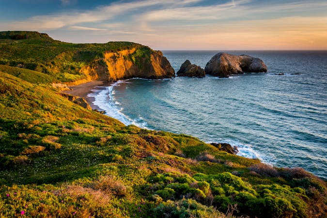
Explore history and scenery along the dramatic coastline near the Golden Gate Bridge.
Difficult Hiking
9 km away
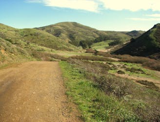
Popular hike through a verdant valley to a beach in a cliff-lined beach.
Easy Hiking
9.5 km away
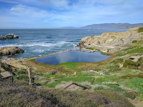
Amazing views of San Francisco and some interesting war relics near the Golden Gate Bridge.
Moderate Hiking
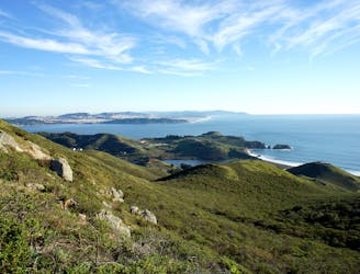
9.6 km away
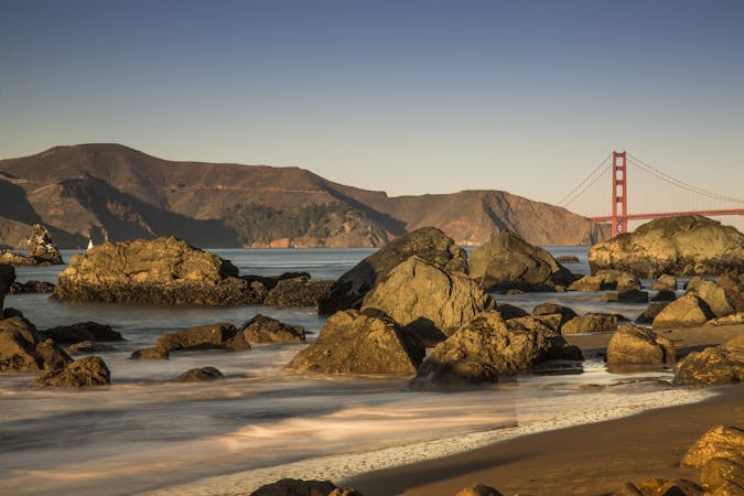
A path that links cliff-top views, sandy beaches, cypress groves, historic war defenses, and the entrance to the Golden Gate Bridge.
Easy Hiking
9.8 km away
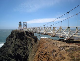
Exciting walk through a tunnel and over a suspension bridge to a lighthouse on the tip of Marin Headlands.
Easy Hiking
12 routes · Hiking
8 routes · Hiking
7 routes · Hiking
7 routes · Hiking · Road Biking · Trail Running

13 routes · Hiking · Trail Running
8 routes · Hiking · Road Biking