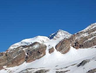
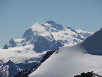
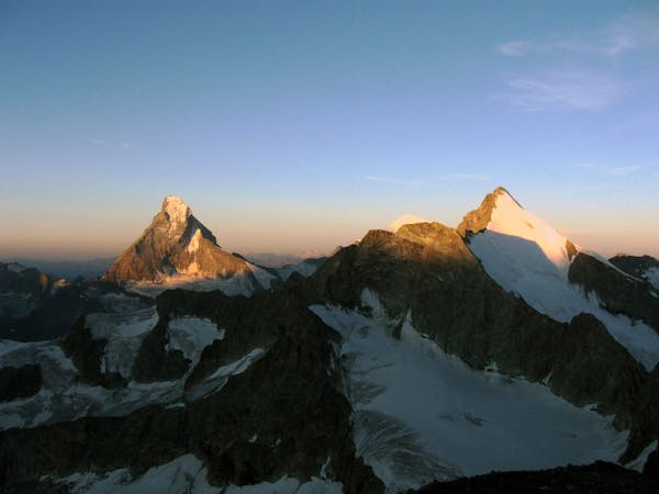
Castor traverse, 4223m
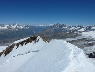
A classic high traverse of a major 4000m peak
Moderate Alpine Climbing
- Distance
- 5.3 km
- Ascent
- 823 m
- Descent
- 605 m
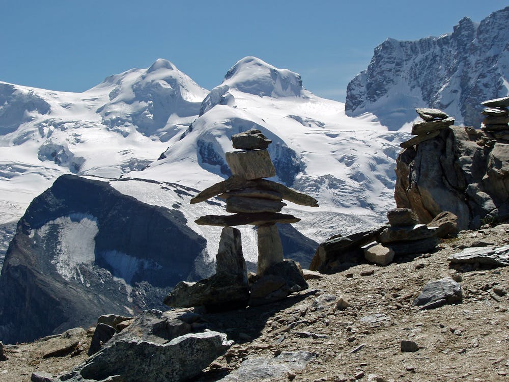
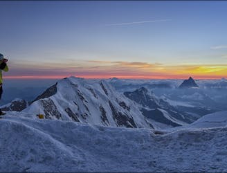
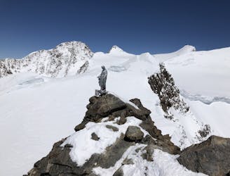
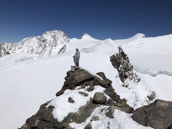
A relatively minor summit, but a 4000m peak nonetheless, surrounded by others.
Alpine Climbing Moderate

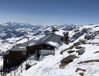
This is an excellent day to a fantastic viewpoint and relatively easy, compared to traversing Castor, as your summit is lower, and it is less exposed. From the Ayas Hut reverse your descent of yesterday, heading upwards, N, onto the broad shelf of the glacier then E, towards the foot of Pollux. At 3750m head N again, to the foot of the SW ridge. You can leave any extra unwanted heavy kit here, as this is an out and back route. Follow the line of least resistance above, near to the mixed ridge with easy rocky steps, heading for an obvious steepening on orange rock above. Look for the chains hanging down and use them to haul your way up onto easier snow slopes above, leading to the summit. In very snowy conditions, early or late season probably, there is also an easier route, avoiding rock in ascent and descent, but is often icy. However, if in condition, you can take this snowy line to the L of the SW ridge, known as the W flank, with slopes up to 45 degrees between rocky buttresses. From the summit reverse your ascent route.
Moderate
May involve slightly more complex glacier hikes, easy but possibly long rock ridges and steep snow up to 45 degrees. Equivalent to PD, PD+

The route features some exposed and/or difficult to protect sections.

Little chance of being seen or helped in case of an accident.
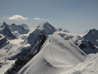
A classic high traverse of a major 4000m peak
Moderate Alpine Climbing
1 km away
One of the best easier 4000m ridge traverses in the Alps
Difficult Alpine Climbing
2.9 km away
A condition dependent high altitude traverse over the shoulder of Lyskamm
Moderate Alpine Climbing
2.9 km away
A huge journey for the very ambitious and very well acclimatised mountain athlete.
Moderate Alpine Climbing
3.4 km away
A simple but beautiful glacial journey
Easy Alpine Climbing
3.4 km away
A popular route on a beautifully positioned peak.
Moderate Alpine Climbing
5.5 km away
A huge day to the second highest peak in Europe.
Moderate Alpine Climbing
6.9 km away
A rapid collection of 4000ers all relatively easy and close to each other
Moderate Alpine Climbing
6.9 km away
A steady descent to the Punta Indren lift
Easy Alpine Climbing
7.1 km away
A brand new route to the hut, taking a beautiful but easy glacial mountain journey
Easy Alpine Climbing
6 routes · Alpine Climbing · Hiking
6 routes · Alpine Climbing

11 routes · Alpine Climbing · Hiking

6 routes · Alpine Climbing · Hiking

10 routes · Alpine Climbing · Hiking

9 routes · Alpine Climbing · Hiking

20 routes · Alpine Climbing · Hiking