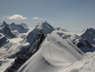
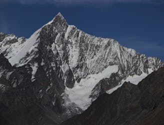
4.9 km away
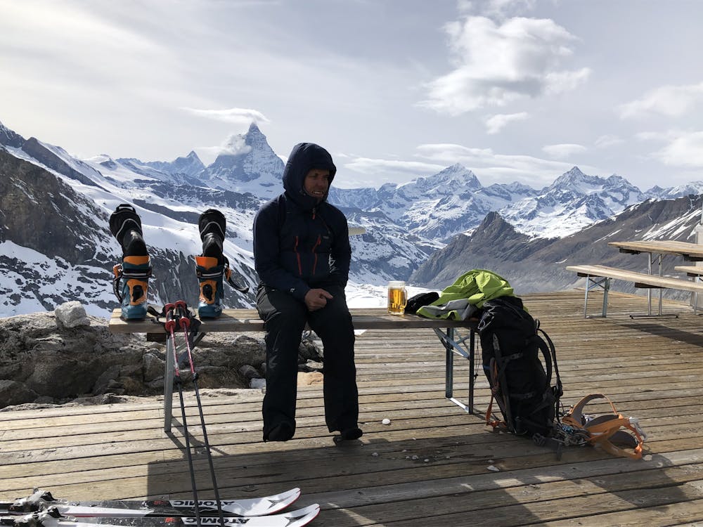
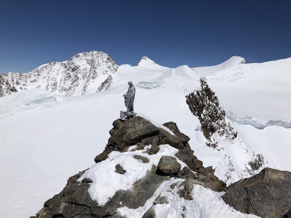
Monte Rosa, Dufourspitze, 4634m
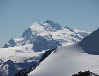
A huge day to the second highest peak in Europe.
Moderate Alpine Climbing
- Distance
- 10 km
- Ascent
- 1.7 km
- Descent
- 1.7 km
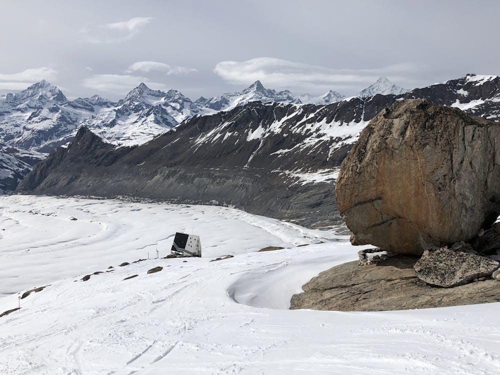
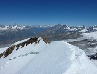
A brand new route to the hut, taking a beautiful but easy glacial mountain journey
Alpine Climbing Easy
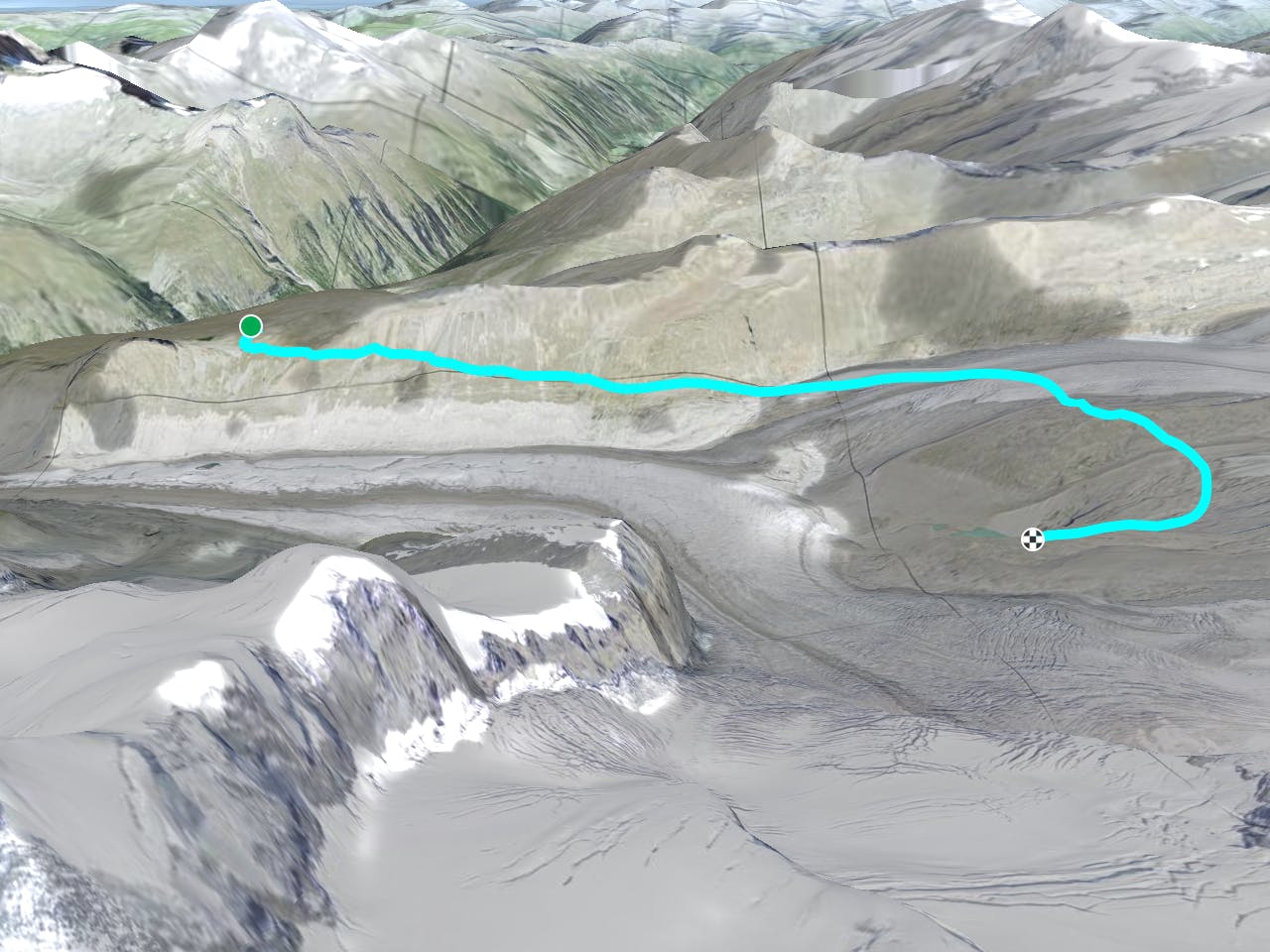
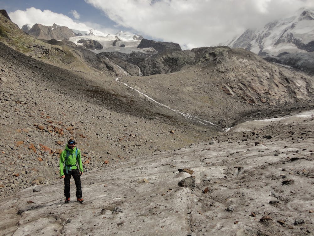
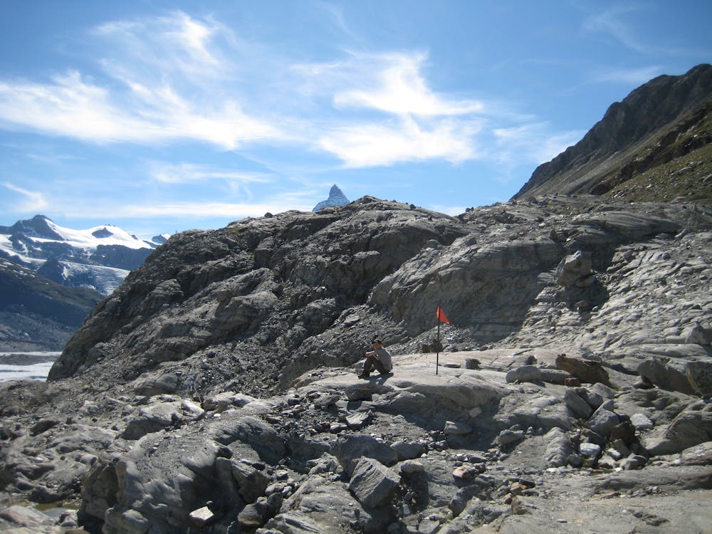
Equipped only in early summer 2019, there is a new approach to the Monte Rosa Hut. The start is the same, taking the panoramic slowly descending path from Rotenboden, crossing the long S facing slope beneath the Gornergrat top station. The new path then rises gently onto the Gorner Glacier, heading up it to nearly 2900m, before heading S, and leaving the glacier. By late season the glacier is dry, and all the crevasses are visible. In early season it will be still snow covered, so you would need to rope up. It is well directed with blue and white marking on the rocks. It then takes an arc, close to pt. 2962m, contouring above the Gornersee lake, approaching the hut from the E. It is more scenic than the old route, which descends further, before reascent, although it is a slightly longer distance.
Easy
The ascent involves simple glacier hiking and/or short, straightforward rock scrambles. Equivalent to Alpine F, F+

The route is well protected or easy enough that protection is not required.

Away from help but easily accessed.
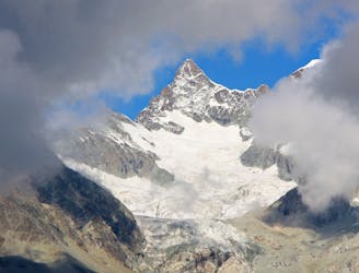
4.9 km away
A huge day to the second highest peak in Europe.
Moderate Alpine Climbing
5.9 km away
A popular route on a beautifully positioned peak.
Moderate Alpine Climbing
5.9 km away
A simple but beautiful glacial journey
Easy Alpine Climbing
6.1 km away
One of the best easier 4000m ridge traverses in the Alps
Difficult Alpine Climbing
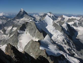
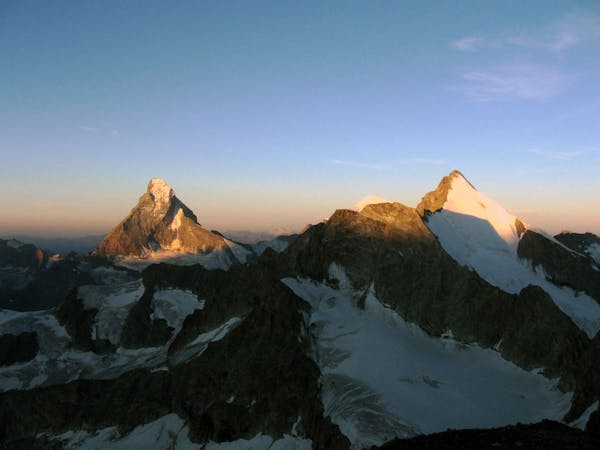
6.9 km away
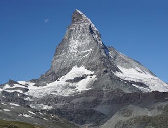
The least difficult route up the most famous mountain in the Alps, if not the world.
Difficult Alpine Climbing
7.1 km away
A relatively minor summit, but a 4000m peak nonetheless, surrounded by others.
Moderate Alpine Climbing
7.1 km away
A classic high traverse of a major 4000m peak
Moderate Alpine Climbing
8.8 km away
A justifiably popular traverse of a beautiful mountain, on very good rock.
Difficult Alpine Climbing
8.9 km away
A beautifully shaped mountain, unusual in having its least difficult route via another summit.
Difficult Alpine Climbing
8.9 km away
A very big day from Täschalp which can be split with a night in the Täsch Hut
Moderate Alpine Climbing
6 routes · Alpine Climbing · Hiking
6 routes · Alpine Climbing

11 routes · Alpine Climbing · Hiking

6 routes · Alpine Climbing

6 routes · Alpine Climbing · Hiking

10 routes · Alpine Climbing · Hiking

9 routes · Alpine Climbing · Hiking

20 routes · Alpine Climbing · Hiking