105 m away
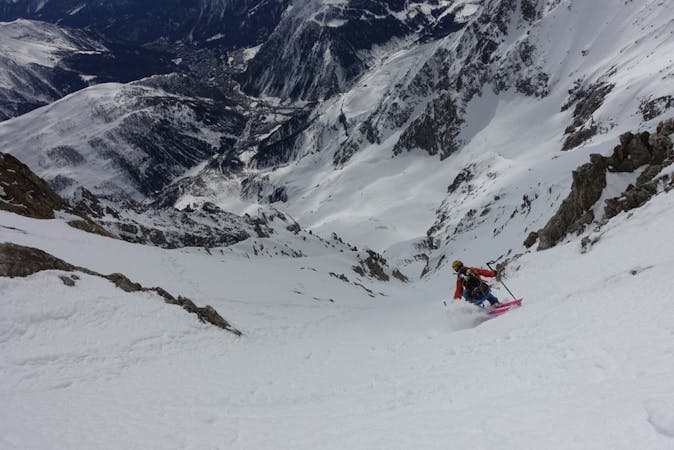
Hangar Couloir

A steep, serious variation leading in to the classic Passerelle couloir.
Extreme Freeride Skiing
- Distance
- 145 m
- Ascent
- 4 m
- Descent
- 71 m

Sustained, serious and steep skiing in a fantastic couloir leading to the Toula Glacier below.
Freeride Skiing Extreme

EXPERTS ONLY. Leave the Helbronner top station and start out toward the Col de Flambeaux. Almost straight away turn left and head for the rock outcrop at the start of the couloir. Steep and often with a large cornice at the entrance this is truly an exciting outing. Join the Toula glacier descent.
Extreme
Extreme skiing terrain above 45 degrees. These routes are reserved for experienced experts.
105 m away

A steep, serious variation leading in to the classic Passerelle couloir.
Extreme Freeride Skiing
132 m away

Wide to start with, the Cesso narrows in its lower reaches and is exciting as you ski between her steep rock walls.
Extreme Freeride Skiing
134 m away

This narrow, steep and committing couloir offers extreme skiing right off the bridge.
Extreme Freeride Skiing
158 m away

One for those who like it extreme, this alternative entry to the Dario couloir is both steep and committing.
Extreme Freeride Skiing
183 m away
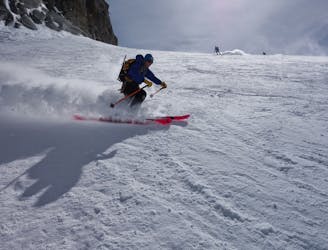
Serious glaciers but great flowing skiing brings you from Italy in to the classic French Vallée Blanche.
Moderate Freeride Skiing
254 m away
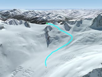
A moderate and fun line down some serious glaciated terrain on the Italian side of the Vallée Blanche.
Moderate Freeride Skiing
326 m away

A steep variant into the Cesso couloir it is not often in condition but it's good when it is.
Extreme Freeride Skiing
329 m away

Easily accessible, very serious yet excellent steep skiing below the cables on the Helbronner front face.
Severe Freeride Skiing
385 m away
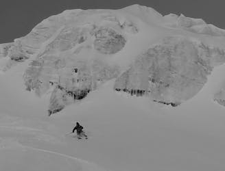
A serious but truly exceptional, long and varied ski descent in breathtaking terrain.
Difficult Freeride Skiing
545 m away

Another short but steep couloir leading to the Toula Glacier.
Extreme Freeride Skiing
10 routes · Freeride Skiing

50 routes · Freeride Skiing · Ski Touring
9 routes · Freeride Skiing · Ski Touring