746 m away
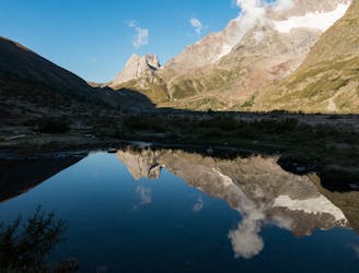
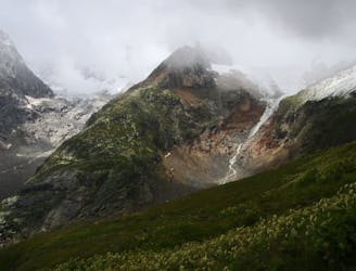
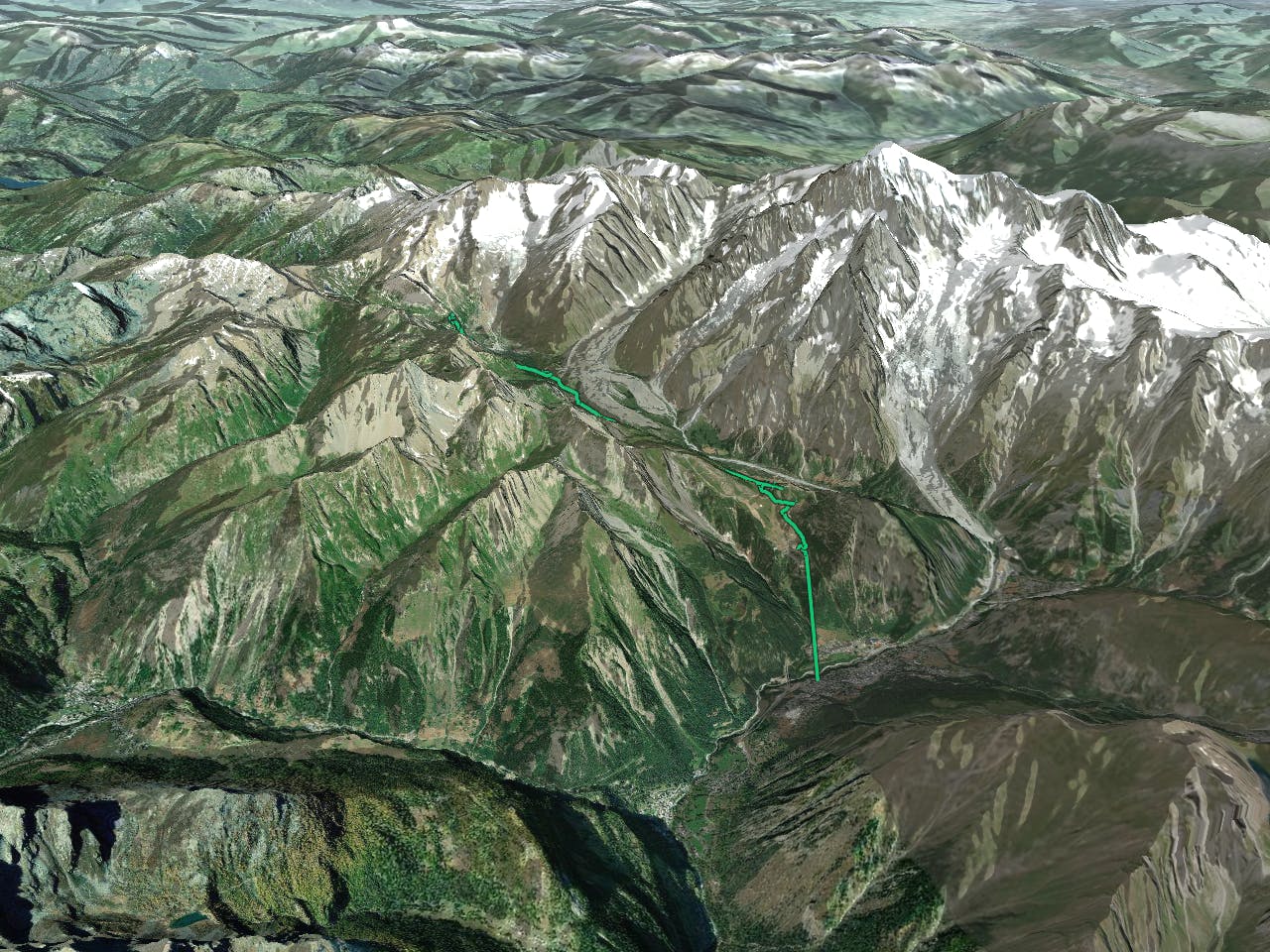
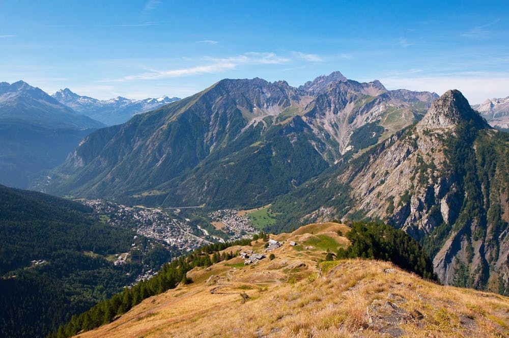
Tour du Mont Blanc: Courmayeur to Lavachey
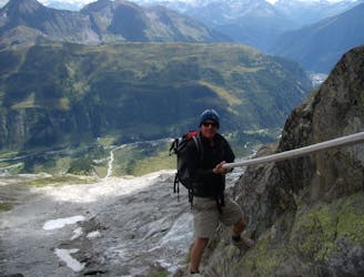
Day 5: Although this day is more of a detour than anything, it is a wonderful one in good weather. If the weather is bad or you're pushed for time, get the bus from Courmayeur to Arp Nouva to join stage 6 and skip out this stage.
Difficult Hiking
- Distance
- 14 km
- Ascent
- 1.2 km
- Descent
- 772 m