We created this half tour itinerary to fit the busy schedules of our clients. In comparison to a "Best of" tour, it does not skip any sections via transport, allowing full immersion in your hiking experience.
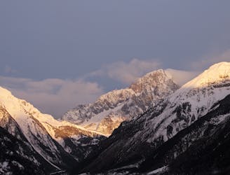
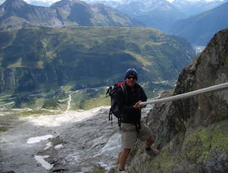
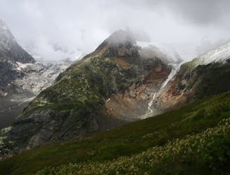
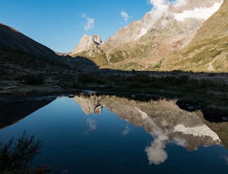
The east side of the massif is unique compared to the west side in that it still goes through all through countries. It starts in Italy, where you will hike above the Val Ferret to Rifugio Bonatti; the view from the hut is spectacular. The next day, you'll hike into Switzerland via the Grand Col Ferret, and overnight in the small hamlet of La Fouly. You'll then continue your journey through pastoral Switzerland and end the day in Champex, which features a small mountain lake. It's then up and over Alp Bovine, before coming to rest in Trient, where it's pink church adds a colorful hue to the this small town. It's then on to your final country, France, passing over Col de Balme on your way down to Argentiere. The final day may be the best of them all, with views along the the Grand Balcon Sud and an optional hike to see Lac Blanc. Your final evening is in Chamonix, where there are many shops and restaurants to explore.