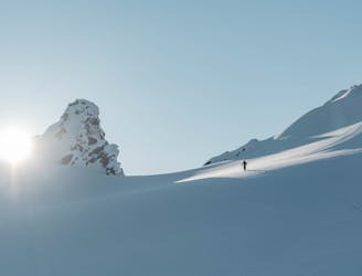
2.2 km away
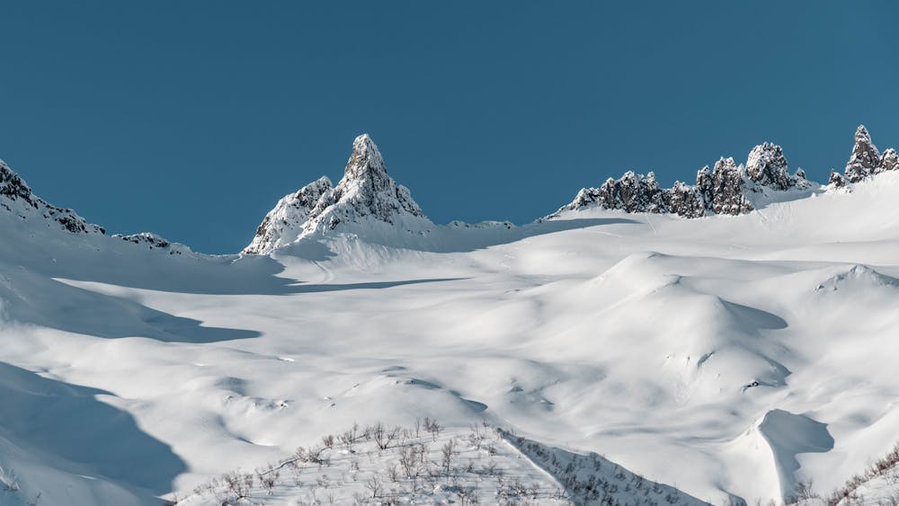
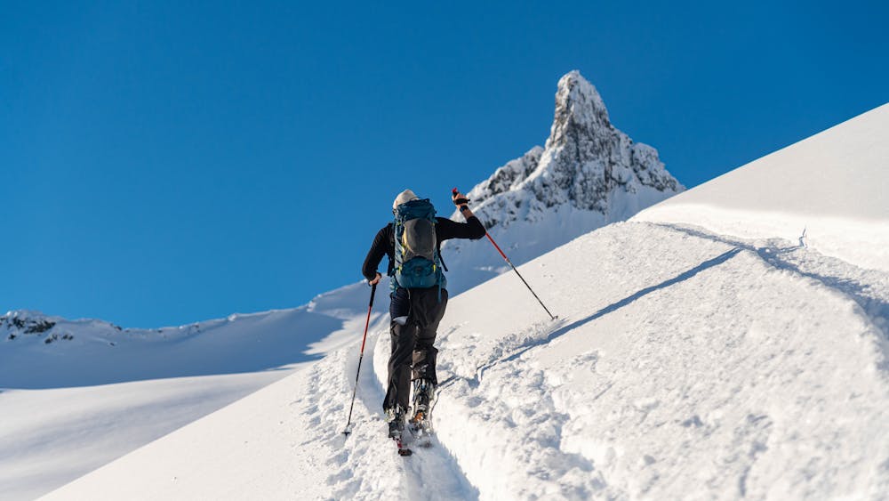
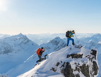
Kopphornet / Klovtinden Nord
Superb powder skiing in a bowl under a dramatic peak
Difficult Ski Touring
- Distance
- 6.8 km
- Ascent
- 901 m
- Descent
- 901 m
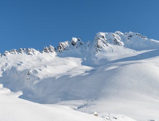
The direct descent from The Finger offers playfull terrain
Ski Touring Difficult

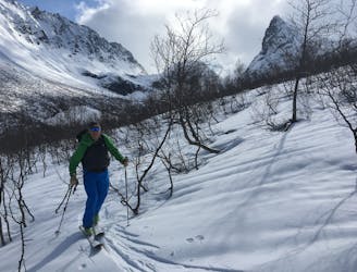
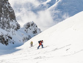
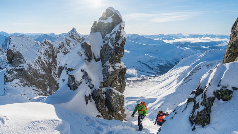
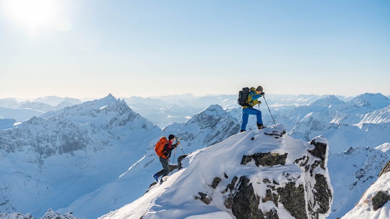
Ascend to the col of The Finger by the normal route.
From the col drop down to the skiers right, directly in the fall line. You will soon reach a flatter section before the terrain gets steeper again. Go skiers right of the small hills and into the convex. Here the terrain will get gradually steeper and end in a terrain trap in the bottom of a canyon. Hold skiers right and head for the exit of the canyon to minimize your exposure time in this dangerous terrain.
When out of the terrain trap, you can catch up with your companions and follow the river. You will soon see a field on your left hands side, cross this to get back to your car.
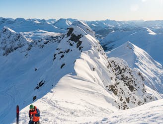
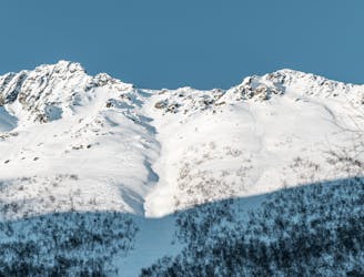
Difficult
Serious gradient of 30-38 degrees where a real risk of slipping exists.

As well as the slope itself, there are some obstacles (such as rock outcrops) which could aggravate injury.
Away from help but easily accessed.
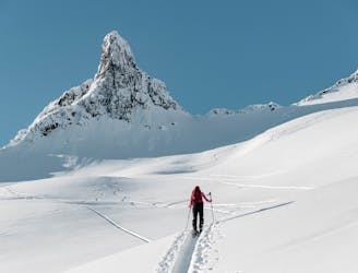
2.2 km away
Superb powder skiing in a bowl under a dramatic peak
Difficult Ski Touring
2.5 km away
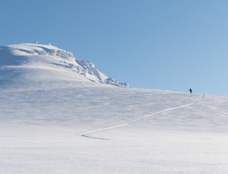
The most popular ski mountain in the Sunnmøre alps
Difficult Ski Touring
2.5 km away
An easy, accessible and popular ski tour with fantastic skiing
Moderate Ski Touring
2.5 km away
This long couloir ensures an alpine steep skiing adventure you definitely will remember!
Extreme Ski Touring
3 km away
An alpine summit with stunning view over Kolåstinden
Moderate Ski Touring
8.4 km away
The most spectacular ski tour in the Sunnmøre alps
Severe Ski Touring
8.6 km away
A long descent with many possibilities
Difficult Ski Touring
8.6 km away
A hidden pearl in the massif of Grøtdalstindane
Severe Ski Touring
9.3 km away
An alpine massif with many possibilities
Difficult Ski Touring
6 routes · Ski Touring
9 routes · Ski Touring
5 routes · Ski Touring