2.2 km away
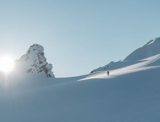
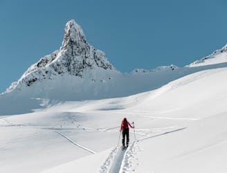
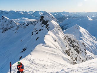
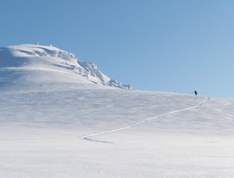
Kopphornet / Klovtinden Nord
Superb powder skiing in a bowl under a dramatic peak
Difficult Ski Touring
- Distance
- 6.8 km
- Ascent
- 901 m
- Descent
- 901 m
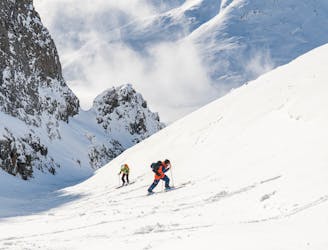
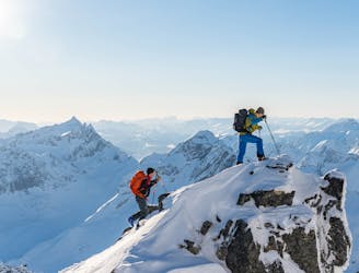
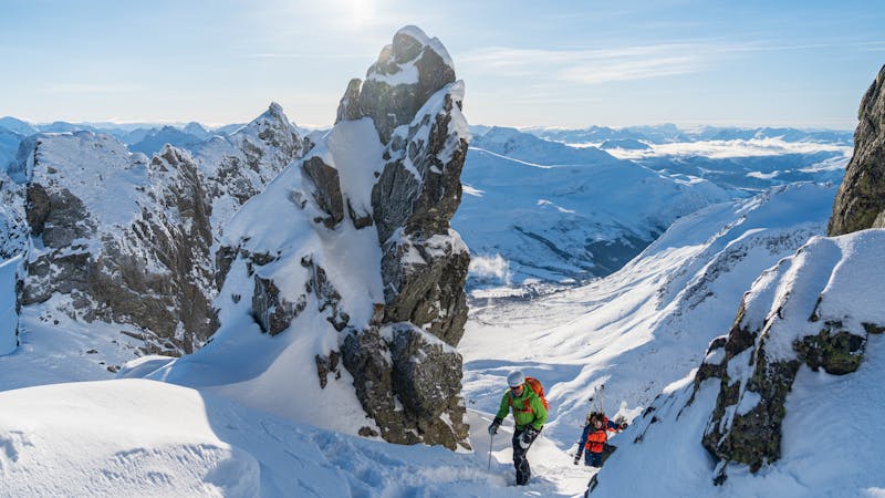
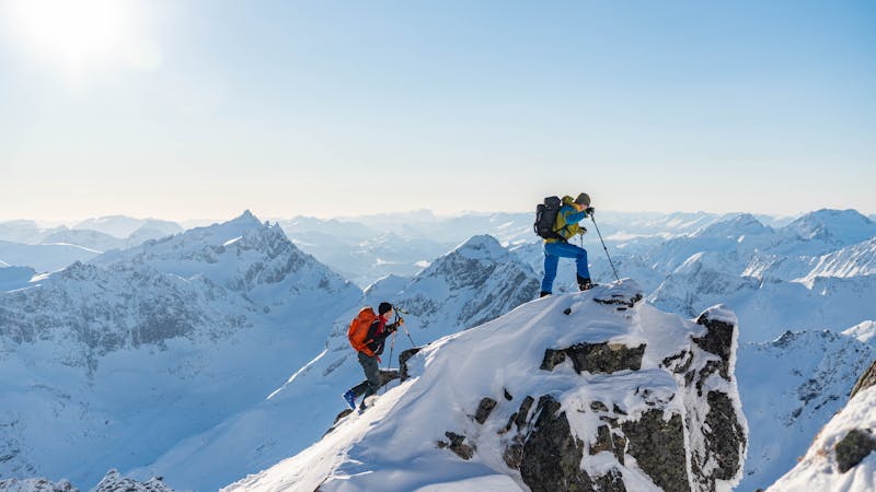
More exciting alternative on the other side of mellow classic ;)
Ski Touring Difficult

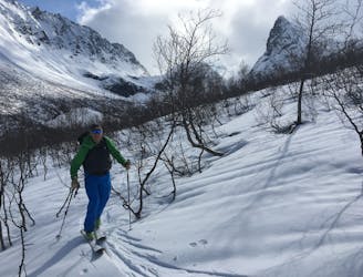
This is an exciting alternative if after skinning up "the finger" route from Standalhytta if You feel like the descent there will not be enough. You can either skinn up from there and than ski down to the ?Romedalen? valley and have someone bring You up to the main parking lot under Standalhytta. We haven't skied all the way down though, but bootpacked back up and skied back to the car. The entrance to the couloir is quite obvious, right on the other side of the pass where most people finish their tour up to the finger. It turns left and than continues with the fall line. In the middle it gets steepest and narrowest, but nothing to crazy. If the couloir is in really icy condition, the fall will take You all the way down to valley, but there are no cliffs to fall of. Have in mind that it is considerably steep up there. When in good condition, this couloir provides with magnificent skiing on the proper steepness. It is prone to sluff though, so have that in mind. We have turned back up as soon as the couloir has opened up at the bottom, so I cannot provide any beta on the lower parts in the trees.


Difficult
Serious gradient of 30-38 degrees where a real risk of slipping exists.

As well as the slope itself, there are some obstacles (such as rock outcrops) which could aggravate injury.

Close to help in case of emergency.
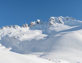
2.2 km away
Superb powder skiing in a bowl under a dramatic peak
Difficult Ski Touring
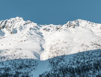
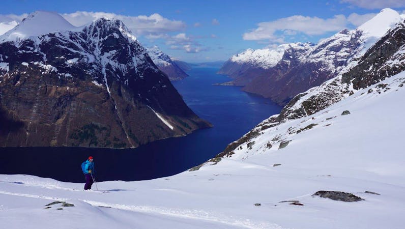
2.5 km away
The most popular ski mountain in the Sunnmøre alps
Difficult Ski Touring
2.5 km away
An easy, accessible and popular ski tour with fantastic skiing
Moderate Ski Touring
2.5 km away
This long couloir ensures an alpine steep skiing adventure you definitely will remember!
Extreme Ski Touring
3 km away
An alpine summit with stunning view over Kolåstinden
Moderate Ski Touring
8.5 km away
The most spectacular ski tour in the Sunnmøre alps
Severe Ski Touring
8.6 km away
A long descent with many possibilities
Difficult Ski Touring
8.6 km away
A hidden pearl in the massif of Grøtdalstindane
Severe Ski Touring
9.3 km away
An alpine massif with many possibilities
Difficult Ski Touring
6 routes · Ski Touring
9 routes · Ski Touring
5 routes · Ski Touring