26 m away
Blåbærfjellet Northeast Bowl
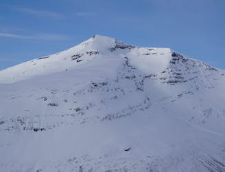
A great sheltered bowl which starts off easy they makes you question if the line even goes.
Difficult Ski Touring
- Distance
- 8.9 km
- Ascent
- 1.3 km
- Descent
- 1.2 km

A classic in the backyard of Tamok Husset
Ski Touring Moderate

The South face of Blåbærfjellet is one of the first lines that catches your eyes when leaving Tamokhusset. When avalanche conditions calm down and people start feeling confident in the snowpack this is one of those places you are almost guaranteed to see tracks and it is easy to see why. This line is nearly 4,000 feet of fall line riding all the way from the summit back to where you parked. That being said this is a complex mountain that needs to be carefully climbed as it can be very dangerous with no way to fully escape being exposed to avalanche danger.
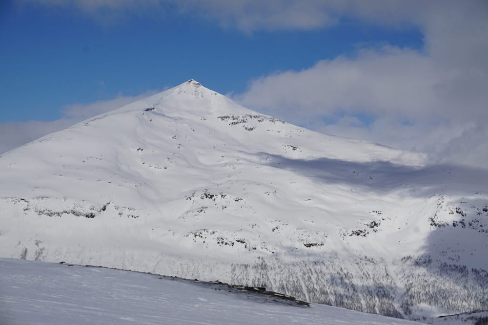
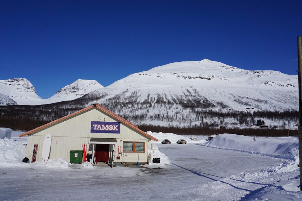
Driving to the southwestern base of the mountain there is a small parking area on the opposite side of the road. Once it is time to get moving you can follow a small snow covered road gaining elevation until arriving at man made avalanche barriers. These were built as there are numerous avalanche gullies you pass and while climbing it is very important to stay up on high ridges compared to just climbing the guts. before long you are at tree line and there is an obvious snow filled gully that you need to ascent. This is one of if not the main crux of the route so it should be climbed with caution and limited exposure of multiple members in the group.
By now you have reached the bottom of the upper bowl and with a long low angle traverse to the east you find yourself on the Eastern ridge and gradually climbing towards the entrance of the South Face which is just below the true summit. If wanting to start riding from the summit it is smart to put on crampons and climb the addition 100 feet but you will have to retrace your steps back to the entrance of the line.
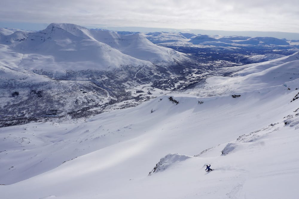
Standing on top of the entrance to the South face of Blåbærfjellet you can see down the entire upper face. Being south facing this line can be done in both powder or corn but should also be done before the heat of the day (noonish) as it is absorbing direct sun light. Dropping in one at a time you can ride down to the lower angled slope and semi-safely look back up at your friends riding down. Once together just ride fall line until you reach a small flat section just above where you had originally climbed the crux earlier. This section should also be done one at a time but remember that the parking lot is off to the skiers right so you will either have to traverse up high or down low. Both are relatively easy and will allow you to ride all the way to the car.
For more photos and information on the route check out this link https://www.whereiskylemiller.com/tamokdalen/blabaerfjellet-south/
Moderate
Slopes become slightly steeper at around 25-30 degrees.
26 m away

A great sheltered bowl which starts off easy they makes you question if the line even goes.
Difficult Ski Touring
31 m away
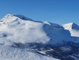
An eficent way to take advantage of a powder day
Difficult Ski Touring
61 m away
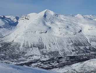
Some of - if not the - best storm riding in all of Northern Norway
Easy Ski Touring
387 m away
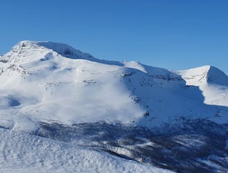
The instant classic line just behind Tamokhuset
Moderate Ski Touring
387 m away
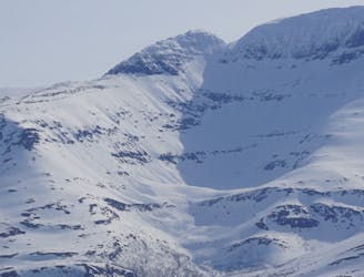
A great sheltered bowl just out of reach from the average ski tourer right behind Tamokhuset.
Difficult Ski Touring
394 m away
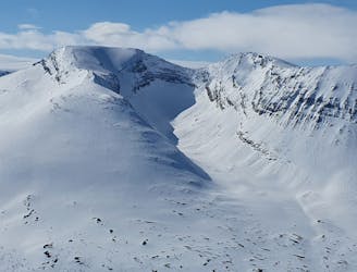
A scenic and relatively unexplored corner of the Tamokdalen Backcountry
Difficult Ski Touring
396 m away
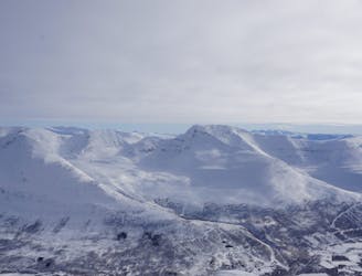
Making the most out of the backcountry just behind Tamokhuset
Moderate Ski Touring
399 m away
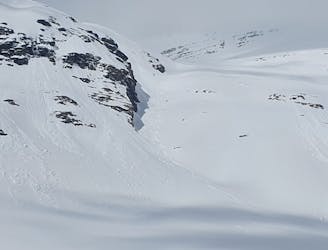
A long and scenic ski tour from Through Norway, Sweden and Finland
Severe Ski Touring
399 m away
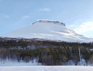
Making the most out of a rare sunny night during the midnight sun.
Difficult Ski Touring
409 m away
A big mountain offering fun freeriding with a true alpine touch
Difficult Ski Touring
5 routes · Ski Touring
8 routes · Ski Touring
3 routes · Ski Touring