1 m away
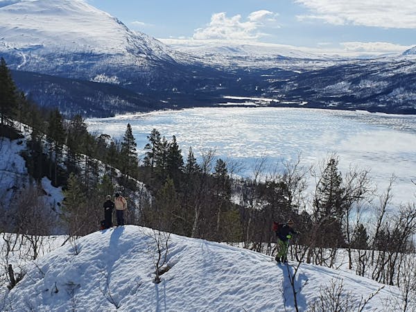
Tamokdalen to Kilpisjarvi Ski Traverse
A long and scenic ski tour from Through Norway, Sweden and Finland
Severe Ski Touring
- Distance
- 82 km
- Ascent
- 4.6 km
- Descent
- 4.3 km
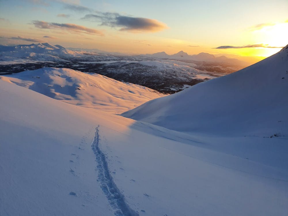
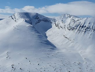
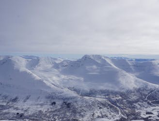
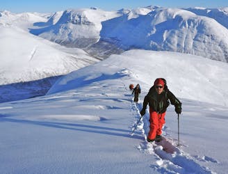
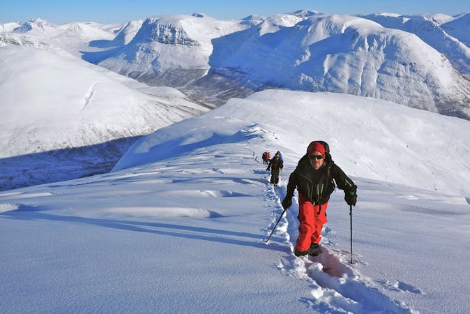
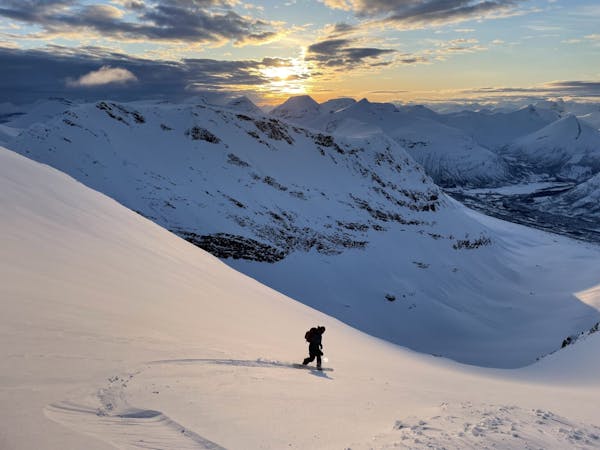
Making the most out of a rare sunny night during the midnight sun.
Ski Touring Difficult

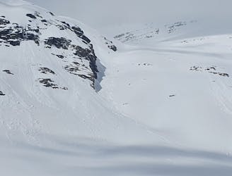
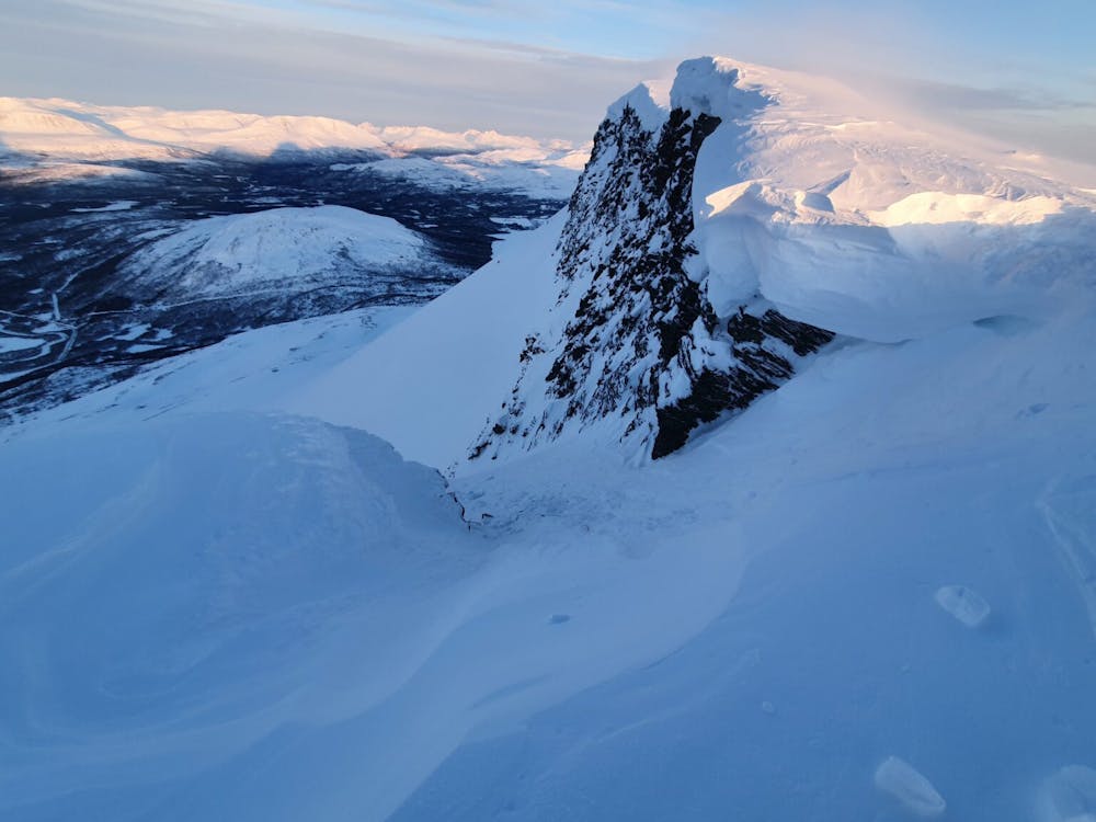
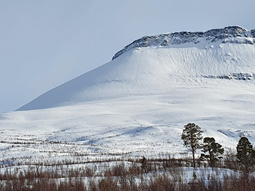
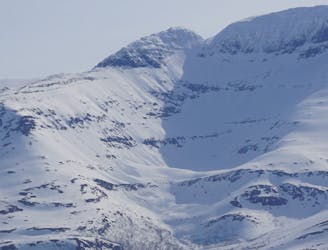
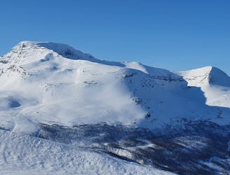
The South chute of Háhttagáisi is a small but sweet chute that breaks through the summit rock band before opening up to one of the most beautiful faces in all of Tamokdalen. While this line is a total gem it must be approached with respect as it is the starting point to one of the biggest avalanche paths in all of Norway. The previous season I had attempted to do this route but was on the summit too late and decided this time I would start much earlier.
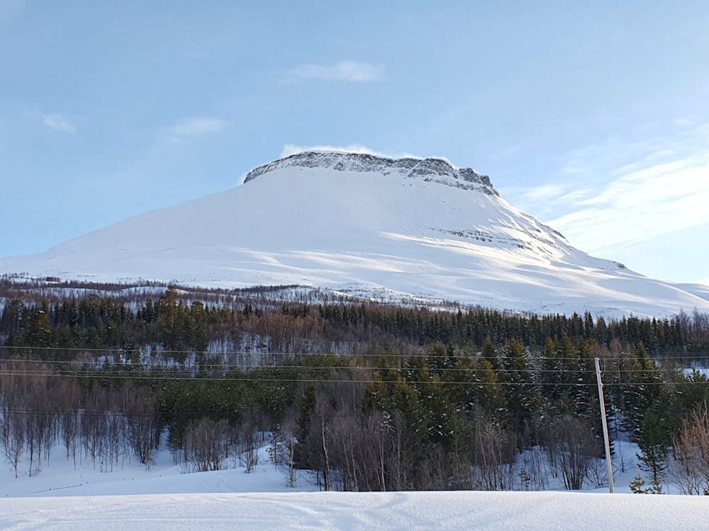
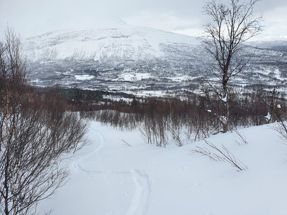
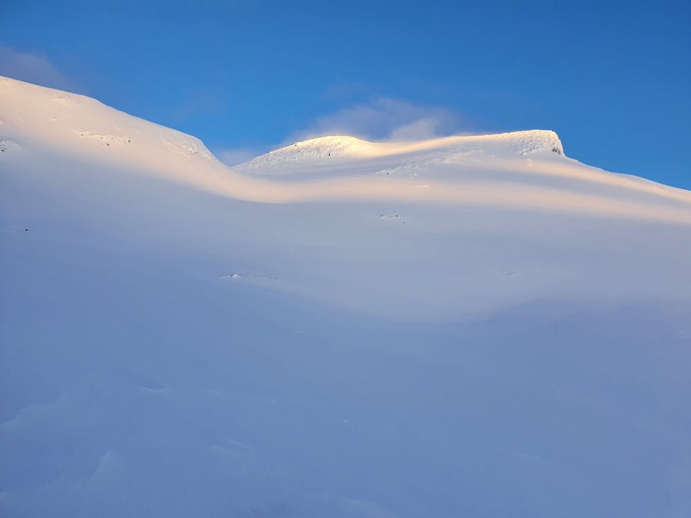
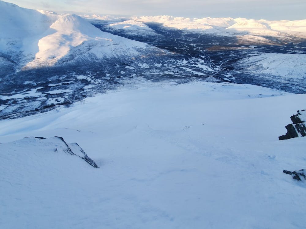
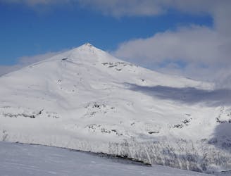
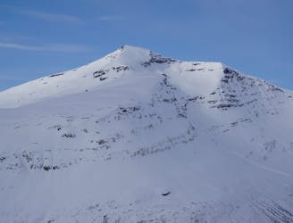
To start off with I was without a car so I walked from Tamokhuset all the way to the trailhead. Starting near an area referred to as Krokmo on the maps there is a summer road that climbs the Southwest side of Háhttagáisi. Follow said road until you reach the alpine and numerous flat benches before making a hard traverse to the lookers left. Finding a low col between Háhttagáisi and point 818 this is a great and easy way to access the west bowl before ascending all the way to the summit.
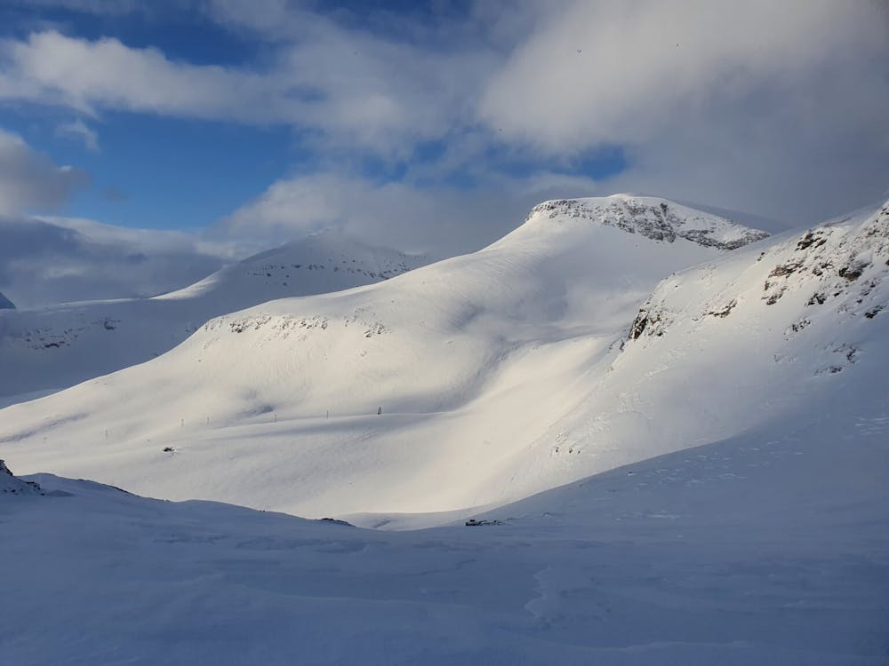
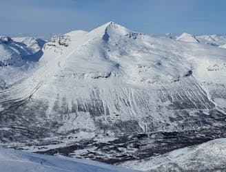
Descending into the west bowl you have a clear route all the way to the summit. When making your way up the face will split to the North and south but make sure to head lookers right until reaching the base of the summit around 100 feet below. From here I climbed to the top and did a lap into the bowl I had just climbed utilising my already put in skin track before heading back up to the top.
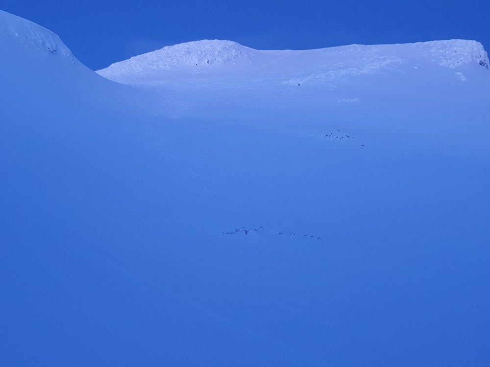
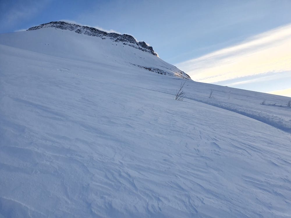
Knowing that it was my final lap of the day I arrived on top of the South Chute around 4 in the morning well before there was light on the face. Standing on top you will see some massive cornices overhanging the line. Wanting to see how the snowpack reacted I took my shovel out and cautiously dug one out to cause it to collapse and see how the snow moved. With the snow sticking to the slopes I made my way into the line which isn’t too steep but very tight especially just before the face opened up.
Once you get to the face itself there is a safe spot to prepare for the open slope just below the rocks on the skiers left. Dropping in you need to be cautious of A the slough that your turns may cause and B that there is a nice size cliff underneath you. Once dropping in you need to commit and while riding down slowly make your way skiers right to get around said cliff. Before long you will be in the open avalanche scarred swath and riding all the way back to the road.
This line is some of the best consistent steep turns within all of Tamokdalen but must be done cautiously. Remember that it is South facing so you need to get to if before the heat of the day. If you are considering riding it anytime after 11 and the face is still getting sun I would wrap around the West bowl instead. Being caught in an avalanche here could easily be fatal and if the whole faced ripped you wouldn’t be found until Summer.
For more photos and information on the route check out this link https://www.whereiskylemiller.com/tamokdalen/hahttagaisi-south-chute/
Difficult
Serious gradient of 30-38 degrees where a real risk of slipping exists.

In case of a fall, death is highly likely.
Little chance of being seen or helped in case of an accident.
1 m away
A long and scenic ski tour from Through Norway, Sweden and Finland
Severe Ski Touring
7 m away
A scenic and relatively unexplored corner of the Tamokdalen Backcountry
Difficult Ski Touring
12 m away

The instant classic line just behind Tamokhuset
Moderate Ski Touring
12 m away
Making the most out of the backcountry just behind Tamokhuset
Moderate Ski Touring
20 m away
A great sheltered bowl just out of reach from the average ski tourer right behind Tamokhuset.
Difficult Ski Touring
399 m away
A classic in the backyard of Tamok Husset
Moderate Ski Touring
423 m away
A great sheltered bowl which starts off easy they makes you question if the line even goes.
Difficult Ski Touring
426 m away
An eficent way to take advantage of a powder day
Difficult Ski Touring
459 m away
Some of - if not the - best storm riding in all of Northern Norway
Easy Ski Touring
714 m away
A big mountain offering fun freeriding with a true alpine touch
Difficult Ski Touring
5 routes · Ski Touring
8 routes · Ski Touring
3 routes · Ski Touring