4.3 km away
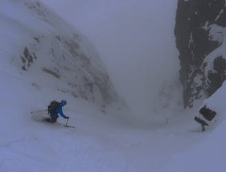
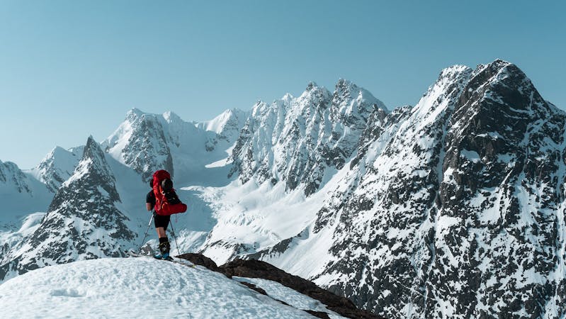
Tomas Couloir and Store Lakselvtinden
2 great steep-ish couloirs in one of Northern Norway's most scenic mountain valleys (and that's saying something!)
Severe Ski Touring
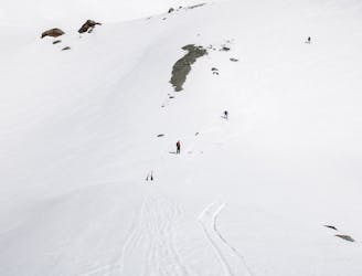
- Distance
- 6.8 km
- Ascent
- 1.5 km
- Descent
- 1.5 km
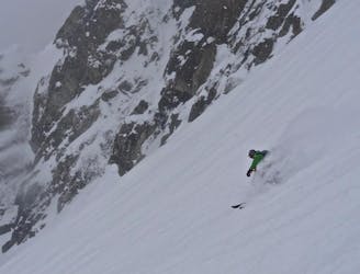
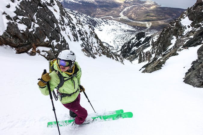
A cool couloir on the north side of Ellendaltinden
Ski Touring Difficult

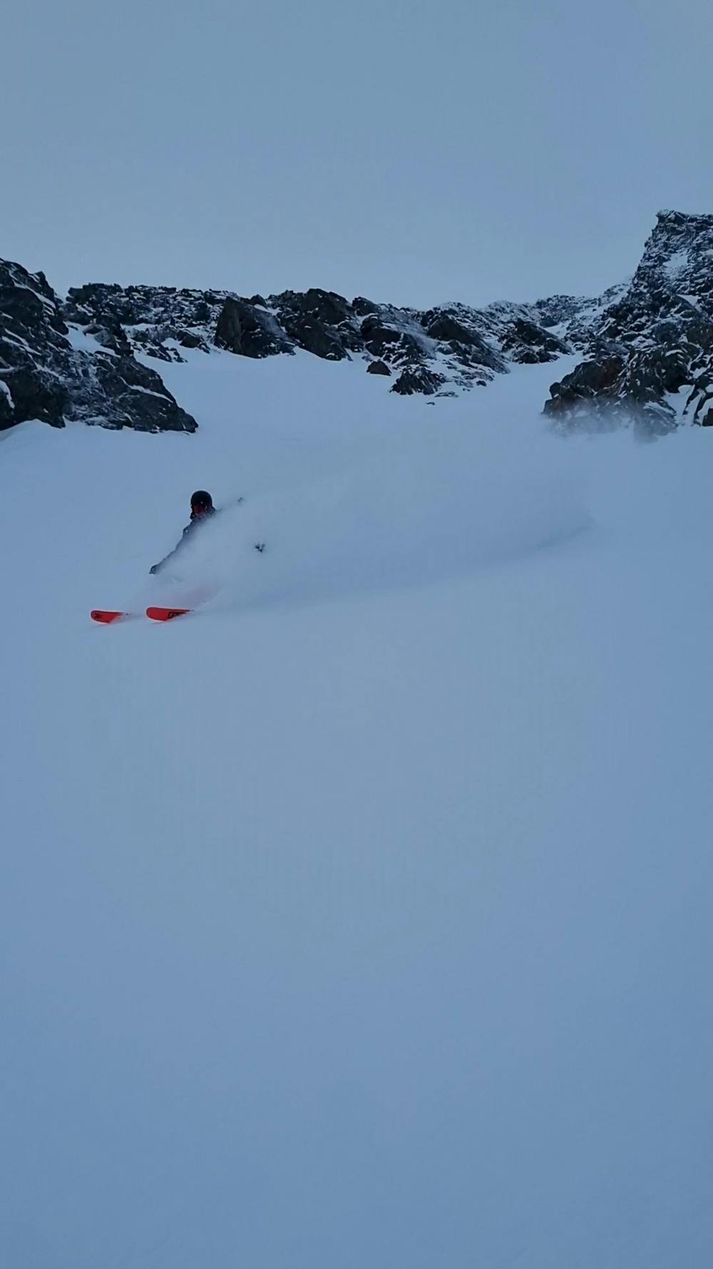
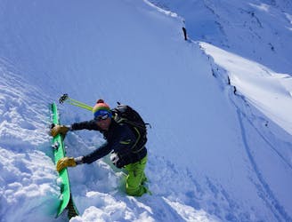
This is a popular ski touring route which is generally considered to be difficult. It's remote, it features medium exposure (e2) and is typically done between January and June. From a low point of 484 m to the maximum altitude of 1.2 km, the route covers 5.1 km, 911 vertical metres of ascent and 899 vertical metres of descent. You'll need skins, ice axe and crampons to complete it safely.
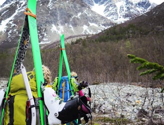
Follow the same track up the valley as for the west couloir. Once at the base of the west couloir follow around the base of the mountain to the north side. Boot up and enjoy the trip down!
Difficult
Serious gradient of 30-38 degrees where a real risk of slipping exists.

As well as the slope itself, there are some obstacles (such as rock outcrops) which could aggravate injury.
Away from help but easily accessed.
4.3 km away
2 great steep-ish couloirs in one of Northern Norway's most scenic mountain valleys (and that's saying something!)
Severe Ski Touring
4.4 km away
A truly brilliant line with perfect pedal-to-the-metal terrain.
Severe Ski Touring
4.6 km away
1300 vertical meters with some of the best skiing Lyngen has to offer
Difficult Ski Touring
9.2 km away
A beautiful peak which provides a staggering view and some wonderful open skiing.
Difficult Ski Touring
9.4 km away
A fun, steep couloir to ski in perfect spring corn and to progress in ski mountaineering
Severe Ski Touring
9.6 km away
The most beautiful one-day high mountain traverse in Norway
Difficult Ski Touring
7 routes · Ski Touring
10 routes · Ski Touring

50 routes · Freeride Skiing · Ski Touring

20 routes · Freeride Skiing · Ski Touring
8 routes · Ski Touring