327 m away
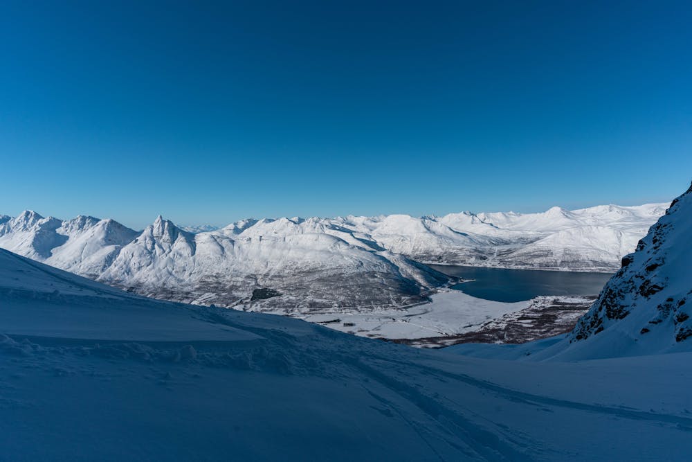
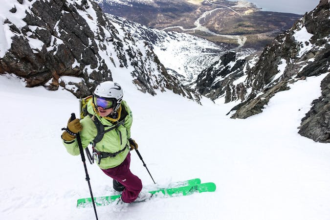
Tomas Couloir and Store Lakselvtinden
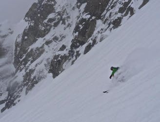
2 great steep-ish couloirs in one of Northern Norway's most scenic mountain valleys (and that's saying something!)
Severe Ski Touring
- Distance
- 6.8 km
- Ascent
- 1.5 km
- Descent
- 1.5 km
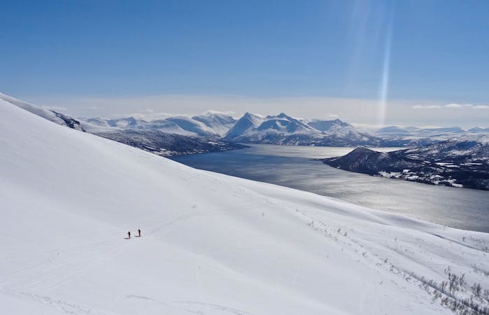
Little brother of Store Lakselvtinden offers fantastic view and joyful skiing
Ski Touring Difficult

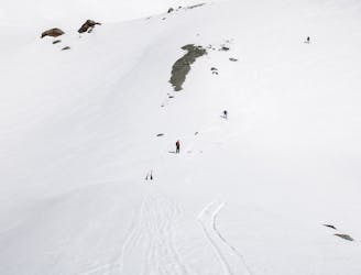
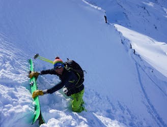
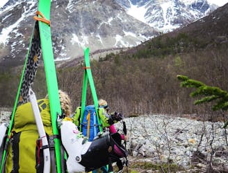
This is a popular ski touring route which is generally considered to be difficult. It's very remote, it features medium exposure (e2) and is typically done between December and June. From a low point of 27 m to the maximum altitude of 1.5 km, the route covers 16 km, 1733 vertical metres of ascent and 1733 vertical metres of descent. It's graded 3.1 and Labande grade 3. You'll need skins to complete it safely.
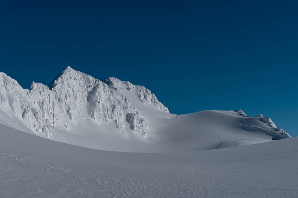
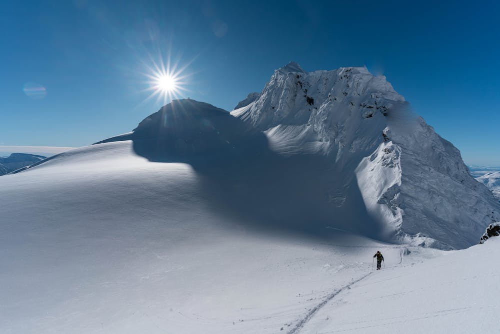
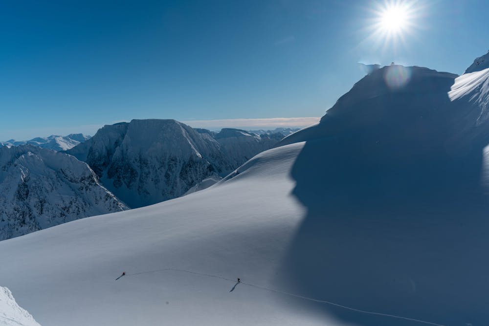
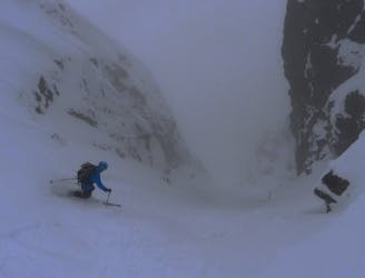
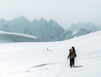
Follow the route to Himmelske Freds plass via Tomas Couloir. Cross to the east side of the glacier and ascend the south face of Imbodentinden. Descent the ascent route.
Difficult
Serious gradient of 30-38 degrees where a real risk of slipping exists.

As well as the slope itself, there are some obstacles (such as rock outcrops) which could aggravate injury.

Little chance of being seen or helped in case of an accident.
327 m away
2 great steep-ish couloirs in one of Northern Norway's most scenic mountain valleys (and that's saying something!)
Severe Ski Touring
3 km away
A truly brilliant line with perfect pedal-to-the-metal terrain.
Severe Ski Touring
3.6 km away
1300 vertical meters with some of the best skiing Lyngen has to offer
Difficult Ski Touring
5.6 km away
A beautiful peak which provides a staggering view and some wonderful open skiing.
Difficult Ski Touring
6.4 km away
A fun, steep couloir to ski in perfect spring corn and to progress in ski mountaineering
Severe Ski Touring
6.6 km away
The most beautiful one-day high mountain traverse in Norway
Difficult Ski Touring
7 routes · Ski Touring
10 routes · Ski Touring

50 routes · Freeride Skiing · Ski Touring

20 routes · Freeride Skiing · Ski Touring
8 routes · Ski Touring