10 m away
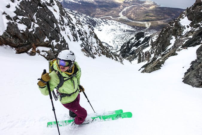
Tomas Couloir and Store Lakselvtinden
2 great steep-ish couloirs in one of Northern Norway's most scenic mountain valleys (and that's saying something!)
Severe Ski Touring
- Distance
- 6.8 km
- Ascent
- 1.5 km
- Descent
- 1.5 km
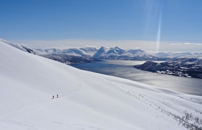
Magnificent skiing and view from the Lakselvtindan massif.
Ski Touring Severe

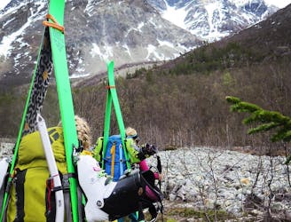
From the parking spot walk along the rocky outcrop to lookers right.
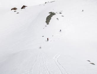
From here traverse up and then head left towards the large main peaks.
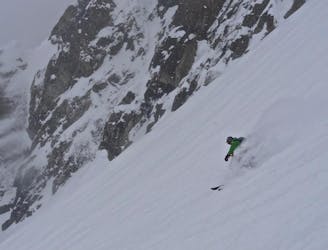
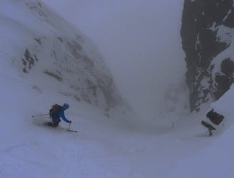
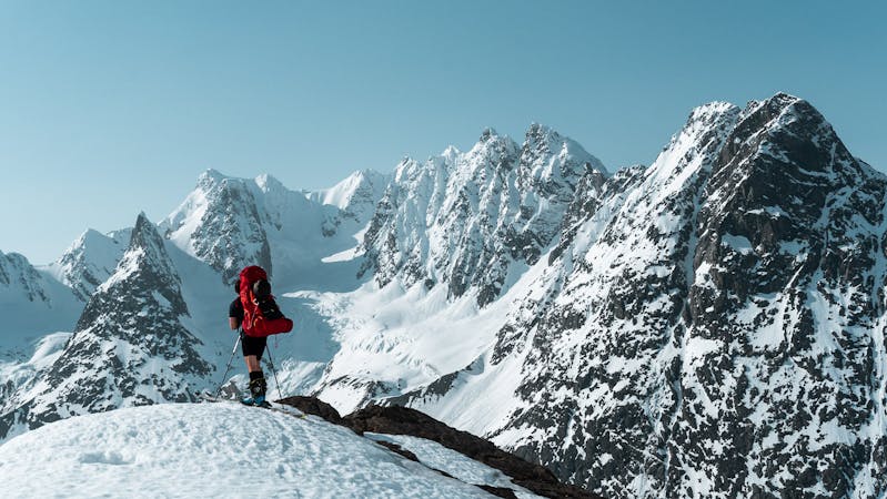
When approaching the top of the first steep section a couloir will open to looker's right. This is the Tomas Couloir and is quite wide. The route goes up this couloir and onto a large open space called (directly translated) "the place of heavenly peace". The couloir is roughly 40-45 degrees steep for most parts.
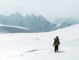
From here you can access Tomastinden, Store Lakselvtinden and Imbodentinden. To approach the target of this route head across the large flat to the east and ascend the peak. The last section starts around 30 degrees and gets more and more steep towards the end.
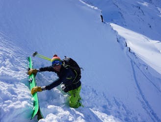
Summiting is recommended to do without skis due to lots of rocks sticking out from under the snow.
Severe
Steep skiing at 38-45 degrees. This requires very good technique and the risk of falling has serious consequences.

As well as the slope itself, there are some obstacles (such as rock outcrops) which could aggravate injury.

Little chance of being seen or helped in case of an accident.
10 m away
2 great steep-ish couloirs in one of Northern Norway's most scenic mountain valleys (and that's saying something!)
Severe Ski Touring
3 km away
A truly brilliant line with perfect pedal-to-the-metal terrain.
Severe Ski Touring
3.5 km away
1300 vertical meters with some of the best skiing Lyngen has to offer
Difficult Ski Touring
5.9 km away
A beautiful peak which provides a staggering view and some wonderful open skiing.
Difficult Ski Touring
6.5 km away
A fun, steep couloir to ski in perfect spring corn and to progress in ski mountaineering
Severe Ski Touring
6.7 km away
The most beautiful one-day high mountain traverse in Norway
Difficult Ski Touring
7 routes · Ski Touring
10 routes · Ski Touring

50 routes · Freeride Skiing · Ski Touring

20 routes · Freeride Skiing · Ski Touring
8 routes · Ski Touring