6 m away
Sjufjellet Northeast Bowl
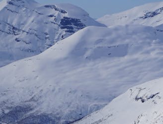
A great tour to get the views and enjoy your time in the alpine.
Moderate Ski Touring
- Distance
- 6.7 km
- Ascent
- 870 m
- Descent
- 870 m

The grand tour of the terrain just north of Tamokhuset
Ski Touring Difficult

Yeah this ski tour is as crazy as it sounds, not for the technical difficulty but more for how long of a route it is. Standing at Tamokhuset these are the 3 main peaks you can see looking just north across the valley. This was my final tour of the season so I wanted to make the most out of a solid weather window.
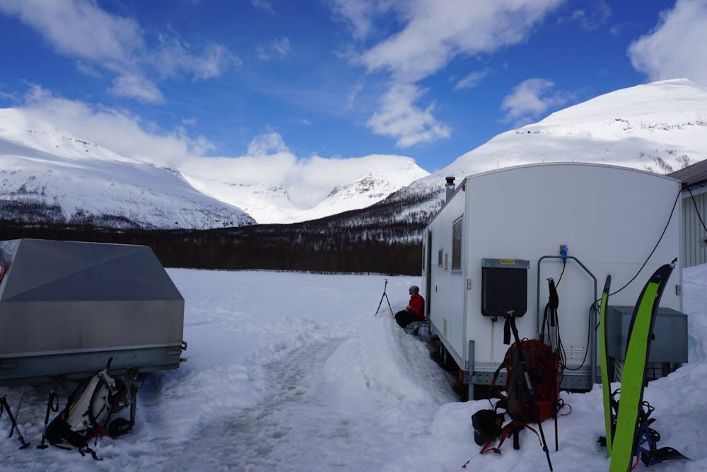
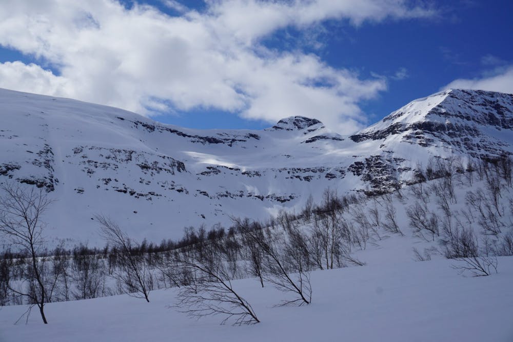
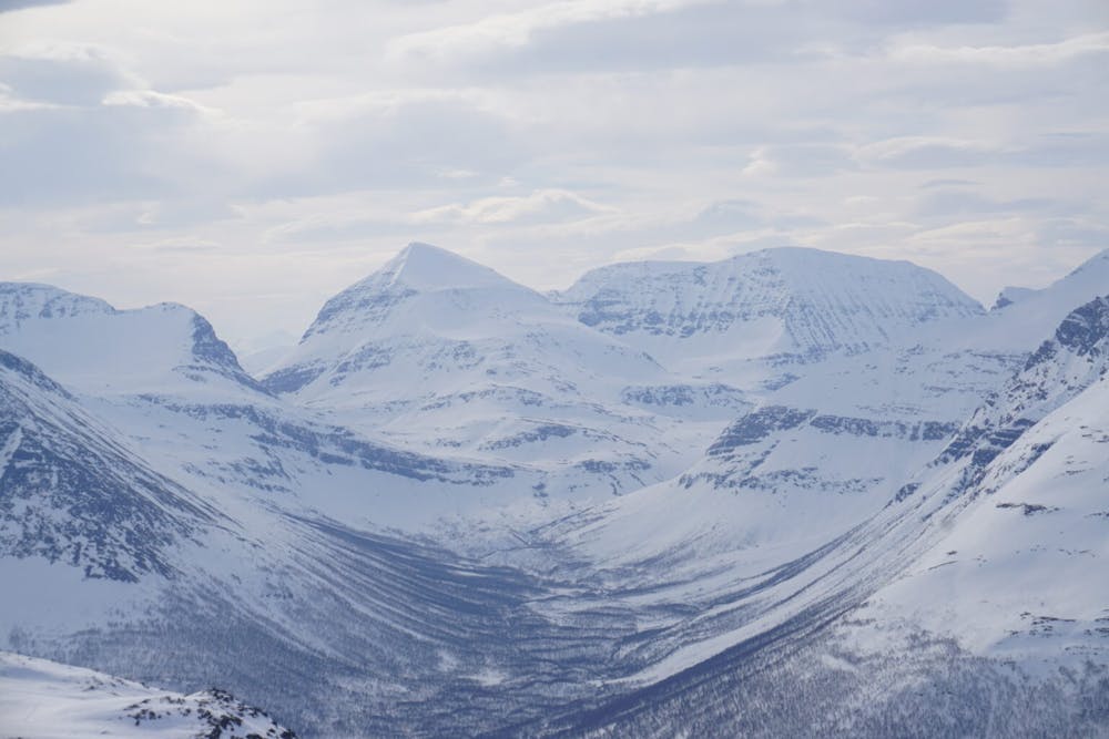
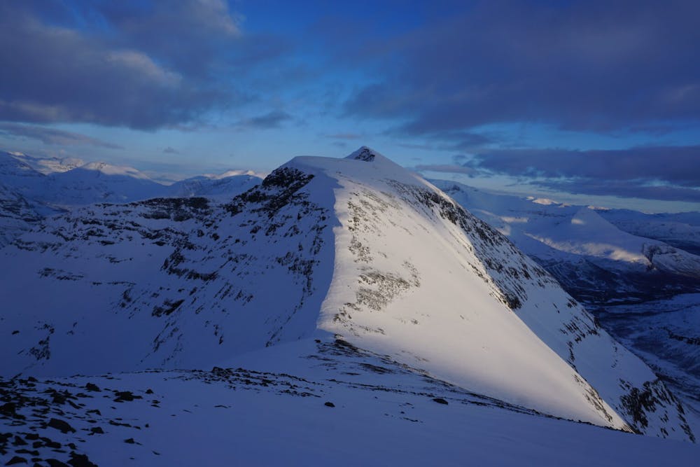
Leaving your car at the Sjufjellet parking lot just west of the road to Tamokhusset start your climb up in the same way you would normally climb. Once at tree line make sure to do a low angle traverse lookers right to access the eastern bowl before gradually heading north to arrive at the summit before planning your descend.
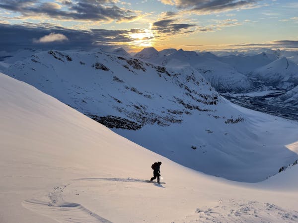
Riding down into the Northeast bowl of Sjufjellet is a bit intimidating as you have to get close to a small cliff band before you can see the obvious route through. Once you spot it make your way into the main gut and keep your speed to get as far down into the valley where the main creek splits.
You want to ascend the flat col on the east side of Lille Russetinden before loosing a bit of elevation to find yourself at the base of the north side. The route up is pretty straightforward and easy climbing until arriving on its summit. Standing on top you need to be incredibly careful as the south face has some big cornices so it is better to stop just shy of where you may think is the actual summit but may be a wind lip with nothing under it. Retrace your steps back into the valley and head down to the creek to get some well deserved water before doing the final push.
Getting up Blåbærfjellet from the north is an incredibly long but scenic route following a small bowl to the east before reaching a small col between point 1290 and 1334. Standing on the col you need to switch over to cramponing and stay on the eastern ridge before making it up top. standing on top you now have a clean view of a scenic ridge that makes its way all the way to the summit of Blåbærfjellet. Walk down a few hundred feet before following one of the most scenic routes heading south. Before long you will arrive on the summit and start planning your descend via the south face or the east ridge before dropping into the southern bowl which requires a long traverse to the skiers right.
This is more of an adventurous ski tour then heading out to ride the goods. Unless you have a huge amount of energy and fill like breaking trail in deep snow for 10 hours I recommend this route in Spring Corn. I say this not because of particular danger on said slopes but instead because it is 26 kilometres and you need to keep a good pace if you don’t want to make your exit in the dark. Is it worth doing….of course, is it worth doing multiple times……no thanks.
For more photos and information on the route check out this link https://www.whereiskylemiller.com/tamokdalen/sjufjellet-lille-russetinden-blabaerfjellet/
Difficult
Serious gradient of 30-38 degrees where a real risk of slipping exists.
6 m away

A great tour to get the views and enjoy your time in the alpine.
Moderate Ski Touring
17 m away
Ski the fantastic classic normal route or drop big on the front face when conditions align
Moderate Ski Touring
24 m away
Setting up a route to make the most out of the West facing chutes
Difficult Ski Touring
1.3 km away
A long and scenic ski tour from Through Norway, Sweden and Finland
Severe Ski Touring
1.3 km away
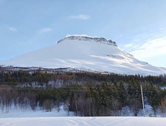
Making the most out of a rare sunny night during the midnight sun.
Difficult Ski Touring
1.3 km away
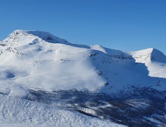
The instant classic line just behind Tamokhuset
Moderate Ski Touring
1.3 km away
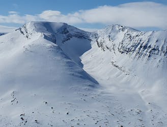
A scenic and relatively unexplored corner of the Tamokdalen Backcountry
Difficult Ski Touring
1.3 km away
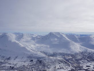
Making the most out of the backcountry just behind Tamokhuset
Moderate Ski Touring
1.4 km away
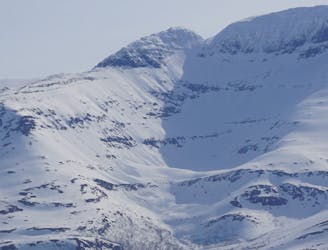
A great sheltered bowl just out of reach from the average ski tourer right behind Tamokhuset.
Difficult Ski Touring
1.5 km away
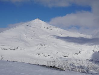
A classic in the backyard of Tamok Husset
Moderate Ski Touring
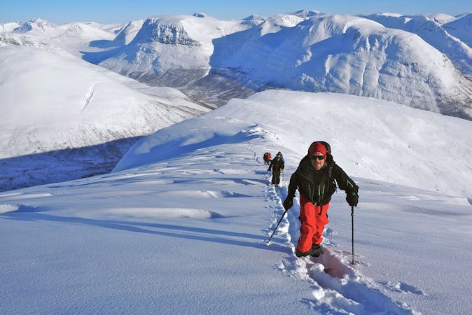
5 routes · Ski Touring
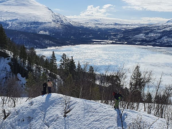
8 routes · Ski Touring
3 routes · Ski Touring