1 m away
Háhttagáisi Northwest Bowl and South Chute
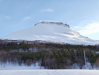
Making the most out of a rare sunny night during the midnight sun.
Difficult Ski Touring
- Distance
- 30 km
- Ascent
- 2.4 km
- Descent
- 2.4 km

A long and scenic ski tour from Through Norway, Sweden and Finland
Also in Lapland, Finland • Norrbotten, Sweden
Ski Touring Severe

My time at Tamokdalen was coming to an end and after studying the maps I came up with a plan to ski back to Finland. To be able to safely make my way there I would need a four day weather window in late May. As the time of my departure was getting close all of a sudden we got the said weather window. This isn’t the most direct route but instead a more scenic and mountainous route. It was going to be an adventure and it definitely delivered on that.
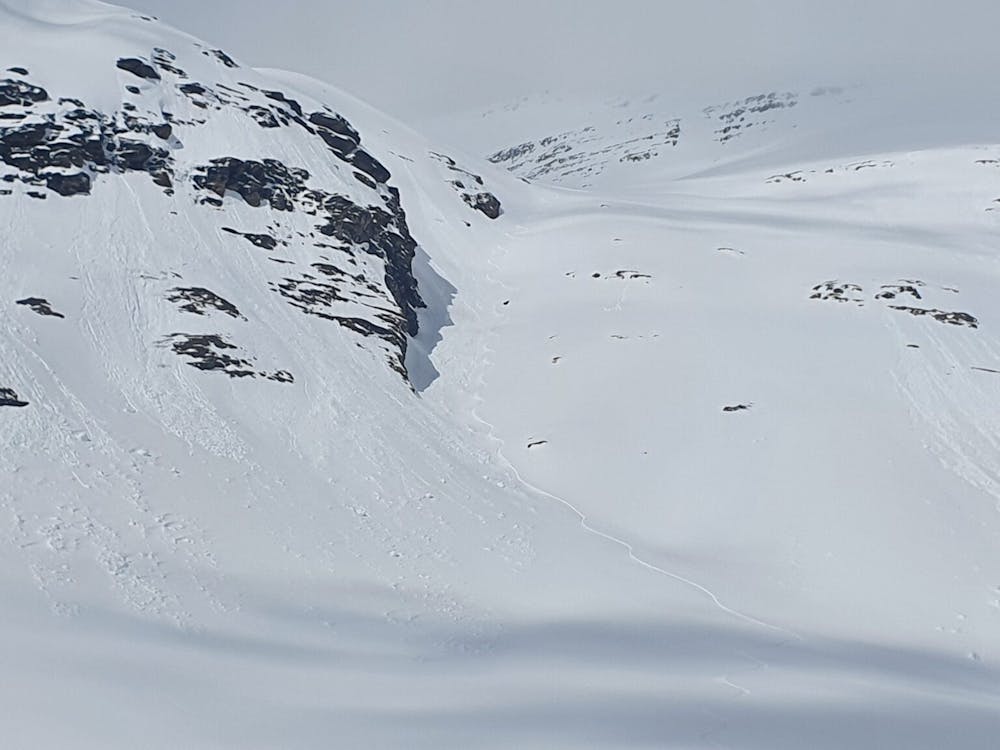
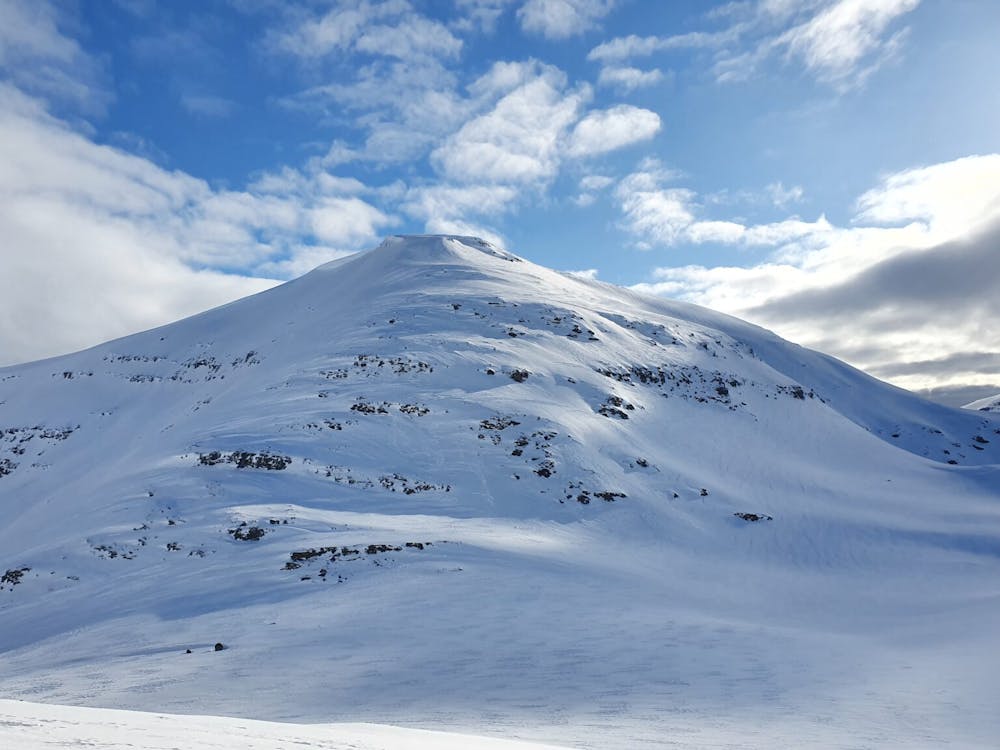
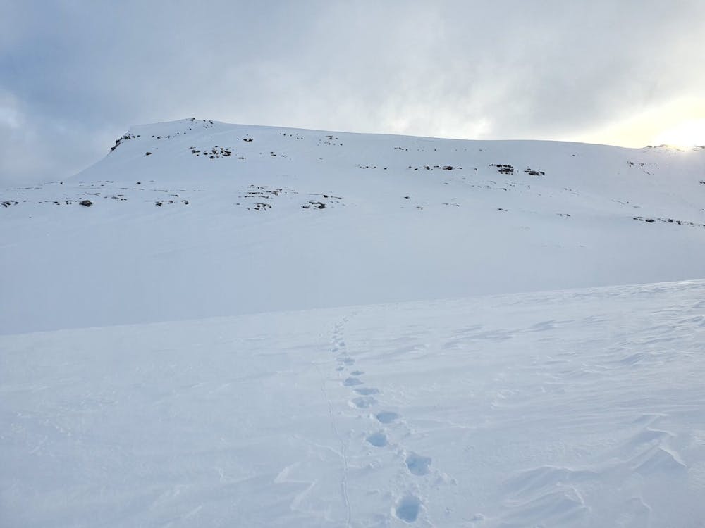
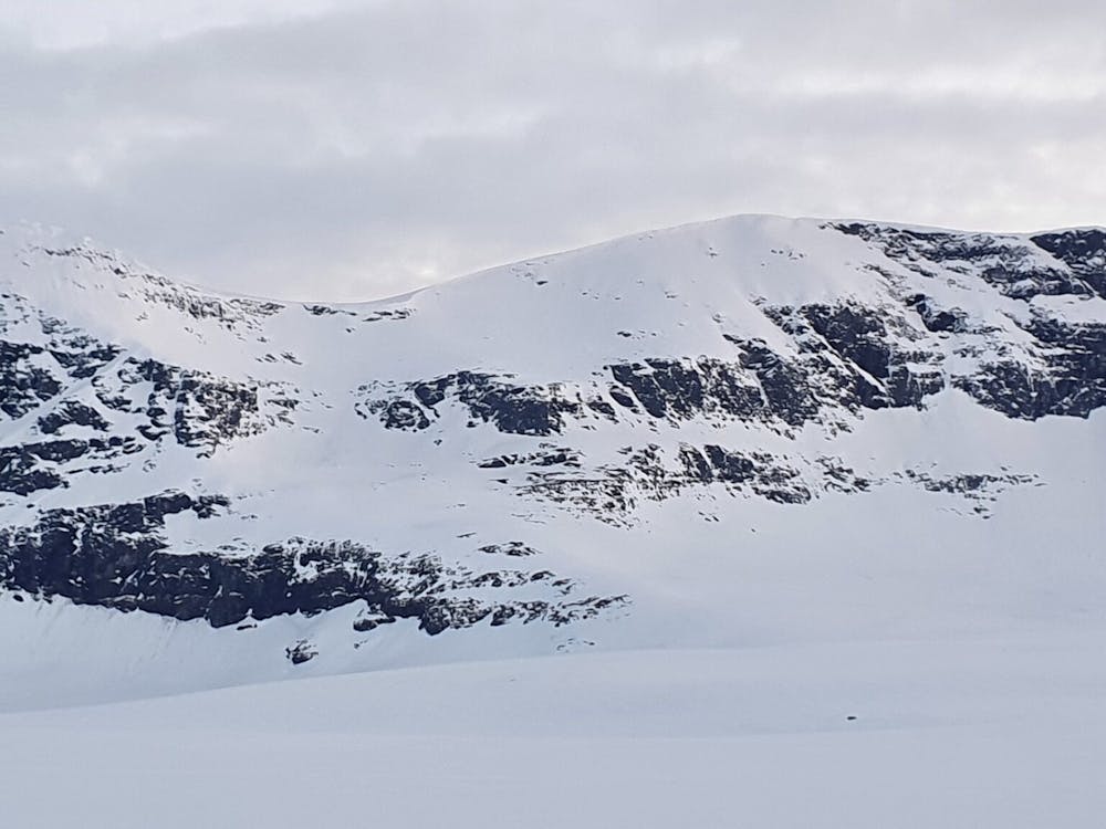
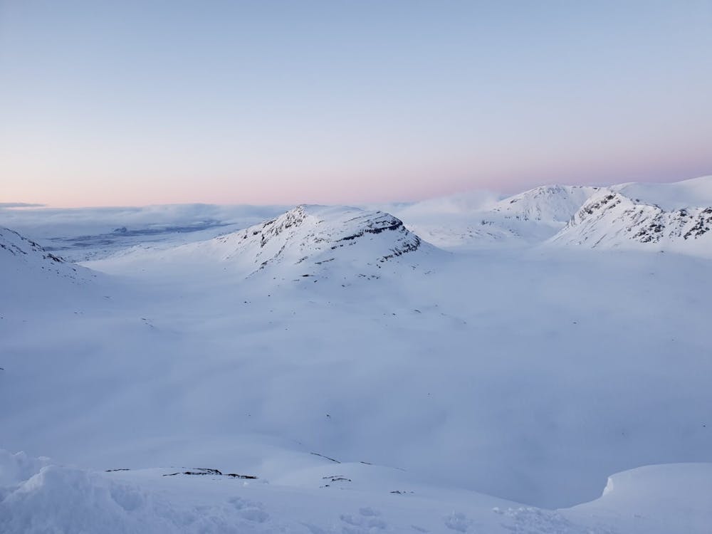
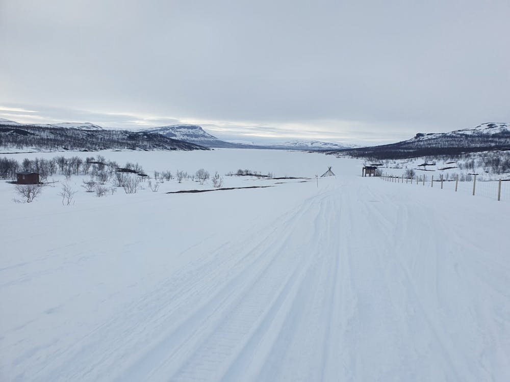
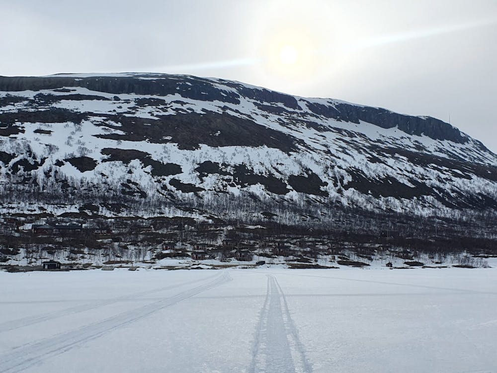
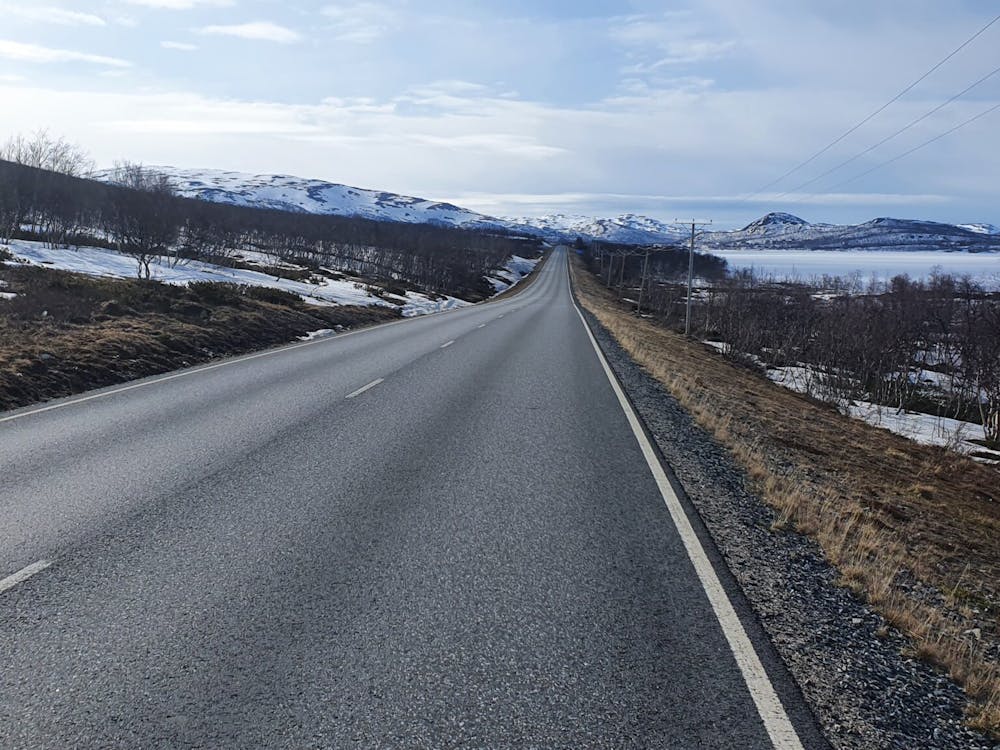
Starting off at Tamokhuset make your way up the main back bowl before hitting the ridge separating the lookers left and middle bowls. Once standing on the top Follow the ridge lookers left until arriving at a snow ramp leading into its South Bowl. While riding down make your way a few meters skiers left of the main gully where a snow filled gully runs down to the valley.
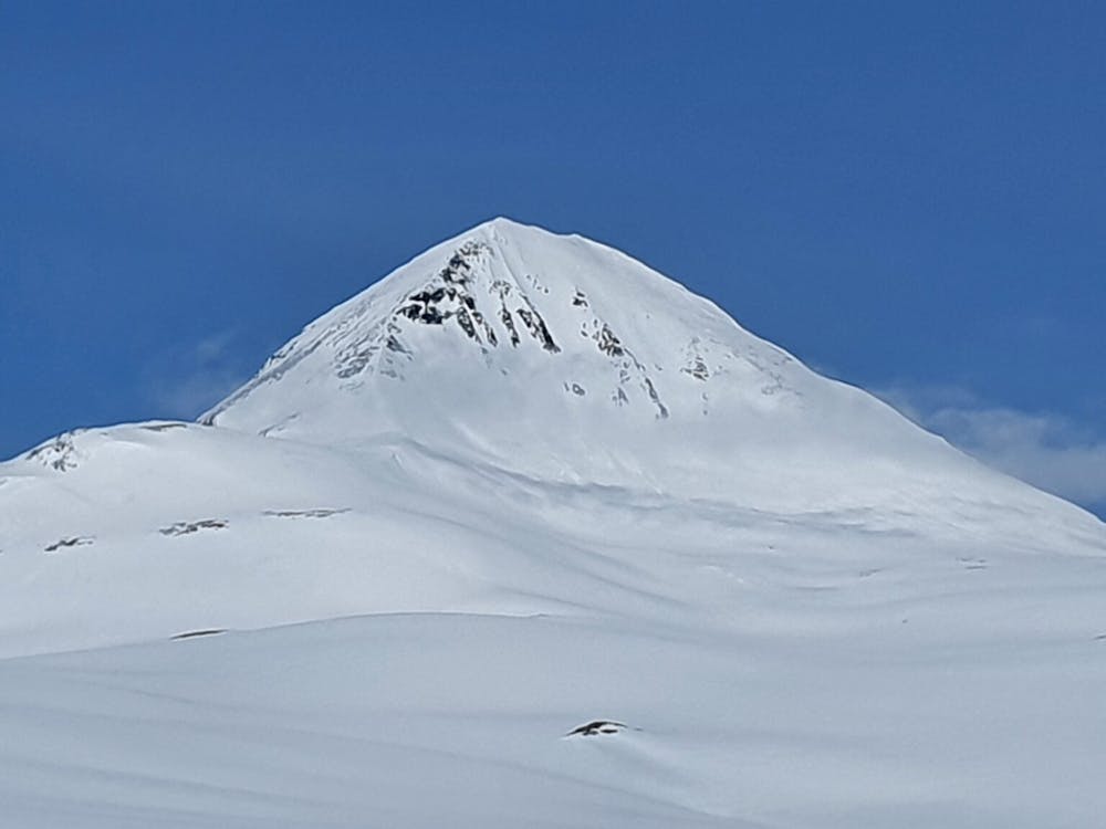
Make your way up directly across the valley climbing a mellow slope to the upper ridge of Brattlifjellet and start heading east towards the true summit. Being solo I decided to ride down its Northeast ride before arriving at a low col. From here wrap around to the west side of Sohtungåisi and make your way up to the small sub summit. From there drop into the east bowl riding all the way to the valley.
Heading East you will have to skin up some semi steep slopes to make your way just south of the summit of Gállágáibi before climbing up and over the summit heading north.Once past the summit you will arrive at a low col. This section is quite tricky as the col has a big cornice and can’t safely descended. Looking at the skiers left said I was able to find a way to wrap around and above cliffs before traversing right and back into the gully just below the col. Once the slope opened up I made my way skiers left all the way into the valley.
This next section was just a flat valley going between the border of Sweden and Norway heading East until arriving at Gappohytta. After resting for a few hours I decided being so close to Bárrás I needed to ski it. Being early in the morning I skinned directly North until getting to the base of the upper face. Once there I made my way over to the ridge and switched to cramponing arriving on the summit and waiting for solar noon in hopes of riding good corn snow. Soon enough I rode the Skiers left chute to the low flats before skinning back to the hut.
Day 2
Waiting until it was dark and the snow was as firm as possible I left the hut. Instead of wrapping around the hill to the east I decided to summit it before riding down to the main summer trail which had a bridge crossing Stordalselva creek before skinning to Goldahytta.
Day 3
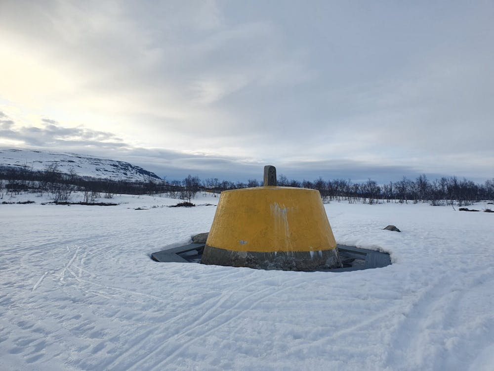
Once again I started at night in hope of firm snow following the summer trail before heading off to the snowmobile trail that reached the shores of Kilpisjärvi. From there I just put my head down and did the long slog on the lake until reaching the main town. Since I was catching a bus home my trip wasn’t over and I still needed to walk a few kilometres to the main gas station/bus station. Soon enough I was on a bus home while in soaking wet snowboard boots.
It was great to see new terrain and potential for new ski tours along the Norway/Sweden Border. While this was a fun trip I wouldn’t repeat it, would I recommend it……maybe? It is important to note that I had keys for the huts as they are locked at all times so don’t just show up hoping for the best.
For more photos and information on the route check out this link https://www.whereiskylemiller.com/tamokdalen/tamokdalen-kilpisjarvi/
Severe
Steep skiing at 38-45 degrees. This requires very good technique and the risk of falling has serious consequences.
1 m away

Making the most out of a rare sunny night during the midnight sun.
Difficult Ski Touring
8 m away
A scenic and relatively unexplored corner of the Tamokdalen Backcountry
Difficult Ski Touring
12 m away
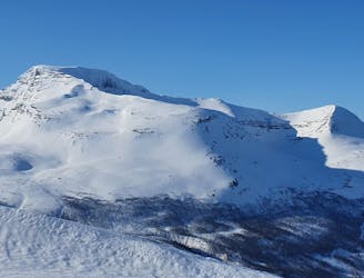
The instant classic line just behind Tamokhuset
Moderate Ski Touring
13 m away
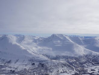
Making the most out of the backcountry just behind Tamokhuset
Moderate Ski Touring
21 m away
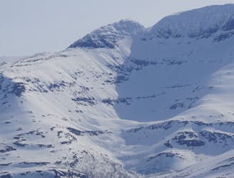
A great sheltered bowl just out of reach from the average ski tourer right behind Tamokhuset.
Difficult Ski Touring
399 m away
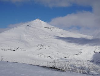
A classic in the backyard of Tamok Husset
Moderate Ski Touring
423 m away
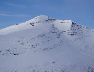
A great sheltered bowl which starts off easy they makes you question if the line even goes.
Difficult Ski Touring
425 m away
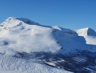
An eficent way to take advantage of a powder day
Difficult Ski Touring
458 m away
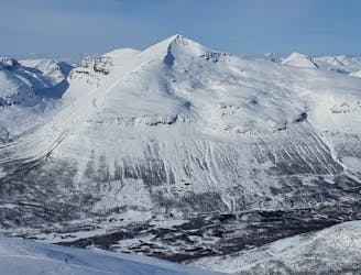
Some of - if not the - best storm riding in all of Northern Norway
Easy Ski Touring
714 m away
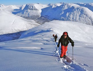
A big mountain offering fun freeriding with a true alpine touch
Difficult Ski Touring
5 routes · Ski Touring
8 routes · Ski Touring
3 routes · Ski Touring