23 m away
Pischa - Hüreli - Wolfgang / Davoser See

Scenic route for advanced backcountry riders.
Difficult Freeride Skiing
- Distance
- 5.4 km
- Ascent
- 140 m
- Descent
- 1 km
Backcountry route for experienced riders
Freeride Skiing Difficult

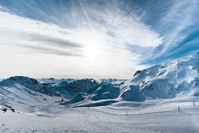
From the top of Pischa we are gonna go to hike the SE ridge of Hüerli (2444m). It is a flat hike following the ridge covered aproximately between 20 or 40 minutes depending on the equipment used. Once at the peak, you can see a left ridge which leads the mountain to the left, we need to follow this shape till the cornern and watch out to do not ride down to much to your right. Once at the end the ridge keeps going till the end of the valley meanwhile there is a big deep creek on your lower right. Notice that from here Laret should be visible and thats our final destination.. We are gonna ride down toward laret direction on the north face. Droping before is possible but steepness plays and important role in the terrain. It is rideable but act in choerence with your riding level and specially snow conditions. Following the line, there is a rocky area on your left and easy rideable on the right side. At this point the forest starts with scatered trees and rock around. There is a corridor in the forest on the lower left that is our final section to finally end up in Laret to jump on the bus and go for another adventure.
Difficult
Serious gradient of 30-38 degrees where a real risk of slipping exists.

As well as the slope itself, there are some obstacles (such as rock outcrops) which could aggravate injury.

In the high mountains or remote conditions, all individuals must be completely autonomous in every situation.
23 m away
Scenic route for advanced backcountry riders.
Difficult Freeride Skiing
6.2 km away

Techy pillow line through the forest
Difficult Freeride Skiing
6.2 km away

Popular off piste for intermediate riders
Severe Freeride Skiing
6.2 km away

Accessible easy off piste zone
Difficult Freeride Skiing
6.6 km away

Extreme freeride area for experienced riders
Severe Freeride Skiing
6.7 km away

Alpine Couloirs with easy access
Severe Freeride Skiing
6.8 km away

Rocky steep couloirs at Jakobshorn S face
Severe Freeride Skiing
7 km away

Backcountry route for experienced riders
Severe Freeride Skiing
7.1 km away

Gentle wide freeride with stunning views.
Moderate Freeride Skiing
7.2 km away

Popular off piste in the resort boundaries
Easy Freeride Skiing
14 routes · Freeride Skiing