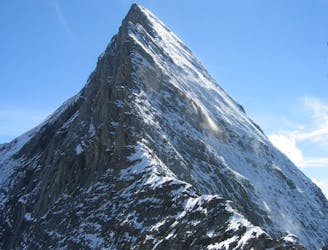
Mönch South-east Ridge
A true classic up a staggeringly well positioned peak.
Difficult Alpine Climbing
- Distance
- 5 km
- Ascent
- 637 m
- Descent
- 637 m
A straightforward, stunning peak in amongst the giants of the Bernese Oberland.
Alpine Climbing Easy

This is an ideal first glaciated summit because it's relatively close to civilisation and features no technical terrain. That said, it's high enough that doing it unacclimatised is tough, and climbing it involves crossing some huge glaciers, so only do it when you've got a perfect weather forecast and a few preparation days under you belt.
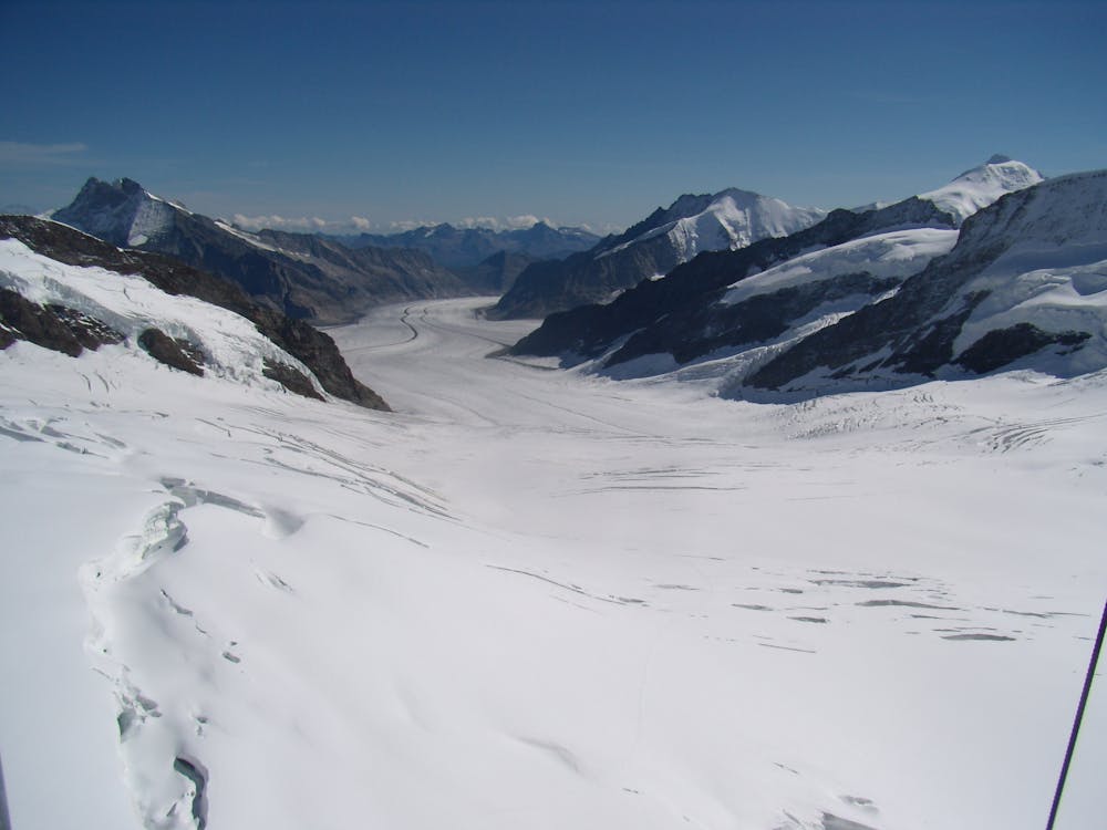
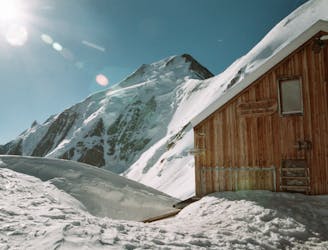
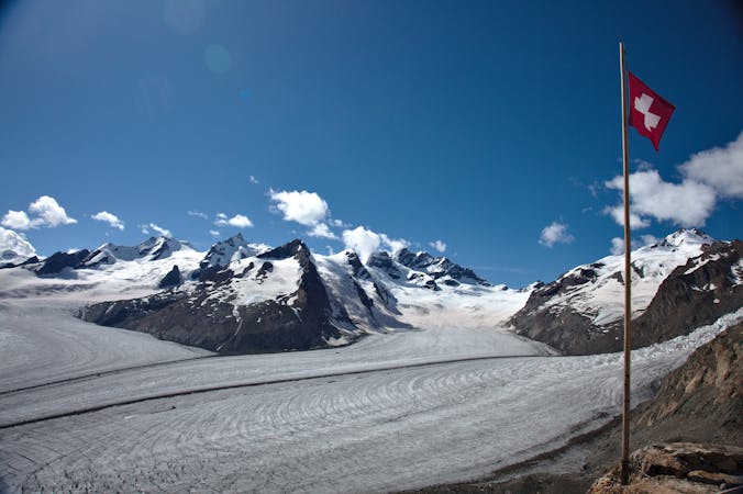
Start the day by riding the Jungfraujoch train up from Grindelwald, through the Eiger's north face, to the Jungfraujoch station. Make your way down to the glacier exit and walk along a pisted (yes, pisted) track that leads to the Mönchjoch Hut. It is normally vital to rope up on wet glaciers, but if there is a possible exception to that rule, it is on the pisted track to the hut.
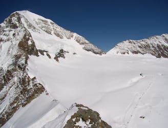
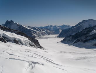
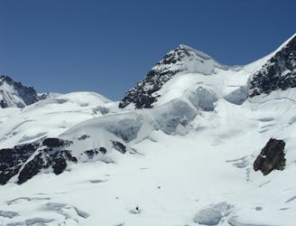
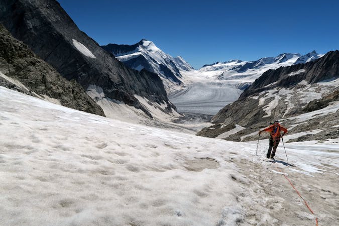
Once at the hut, rope up if you aren't already and hike north-east off the Mönchjoch col onto the Ewigschneefeld glacier. Slowly swing around east and then south-east, heading for the foot of the Walcherhorn's rocky south ridge.
In good conditions it can be possible to go through a snow niche partway up the ridge (thereby cutting a short section of the ridge out) but generally the best way to reach it is to swing right around the foot of the ridge and then climbing just to the right of it on a mellow snow slope.
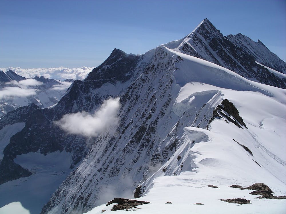
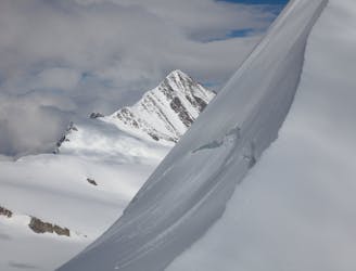
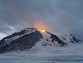
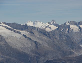
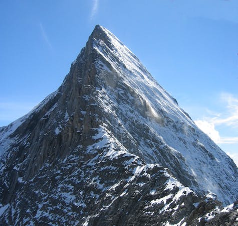
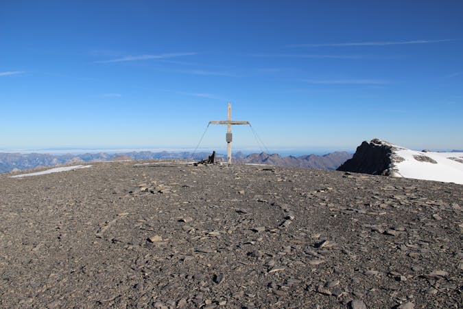
At the top of the snow slope, easily scramble up the Walcherhorn's final, rocky summit tower to reach the top. The view across to the Fiescherhorn is incredible, and you've also got a spectacular view of the Eiger.
When you've taken a few thousand (!) photographs, retrace your steps back to the Jungfraujoch or, if you're keen for more adventure, stay over at the Mönchjoch Hut and climb the Mönch's south-east ridge.
Easy
The ascent involves simple glacier hiking and/or short, straightforward rock scrambles. Equivalent to Alpine F, F+

The route is well protected or easy enough that protection is not required.

Little chance of being seen or helped in case of an accident.
A true classic up a staggeringly well positioned peak.
Difficult Alpine Climbing
3 m away
A physically easy (ish) start to a high mountain adventure.
Easy Alpine Climbing
37 m away
A significant mountain, frequently underestimated due to the excellent lift access
Moderate Alpine Climbing
1.6 km away
A high altitude glacial journey, to a steep col, then 2 quickly accessed 4000m peaks
Moderate Alpine Climbing
3.2 km away
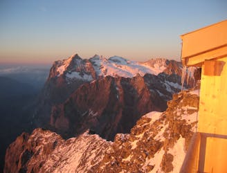
This hut approach is an alpine route in itself, to an amazing hut in an outrageous location
Difficult Alpine Climbing
4.8 km away
One of the very best routes in the Alps, on a legendary peak
Difficult Alpine Climbing
7.3 km away
A high altitude glacial journey which will provide good acclimatisation
Easy Alpine Climbing
7.3 km away
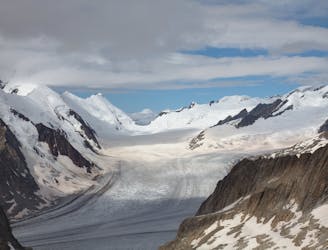
A beautiful hike up huge, wild glaciers.
Easy Alpine Climbing
7.3 km away
A lovely journey up a classic ridge, taking in the Grünegghorn on the way
Moderate Alpine Climbing
8.3 km away
A popular peak which offers staggering views and a satisfying summit.
Moderate Alpine Climbing

11 routes · Alpine Climbing · Hiking
4 routes · Alpine Climbing
8 routes · Alpine Climbing · Hiking

6 routes · Alpine Climbing
10 routes · Alpine Climbing · Hiking

20 routes · Alpine Climbing · Hiking
9 routes · Alpine Climbing · Hiking