1.5 km away
Approach to the Mittelegi Hut
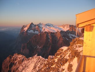
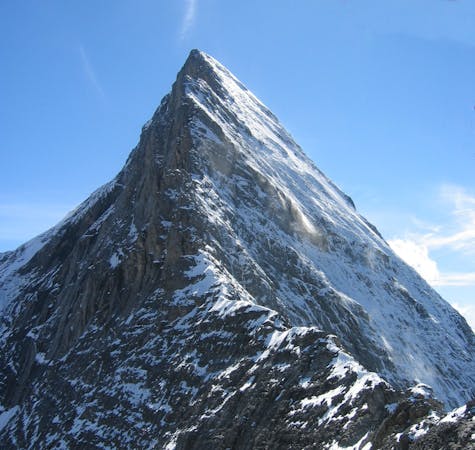
This hut approach is an alpine route in itself, to an amazing hut in an outrageous location
Difficult Alpine Climbing
- Distance
- 1.6 km
- Ascent
- 238 m
- Descent
- 114 m
One of the very best routes in the Alps, on a legendary peak
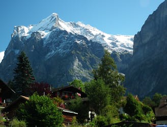
Also in Bern, Switzerland
Alpine Climbing Difficult

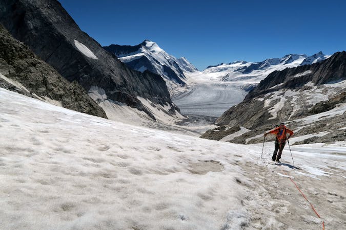
Famed worldwide, any ascent of the Eiger is a cherished prize and the Mittelegi Ridge is aesthetically the most pleasing of the ridges on the mountain. In combination with a descent of the S Ridge it makes for a traverse of the highest calibre, as the S Ridge is over very good rock and extremely enjoyable in descent. Indeed the S Ridge is a very high altitude route in itself, involving technicalities in ascent and descent. Due to the committing nature of this route it is unsuitable in all but an excellent forecast.

From the hut the ridge is immediately extremely narrow and exposed. There are virtually no route finding difficulties as you stick to the crest, climbing over anything rather than avoiding it. Occasional bolts protect short down climbs.
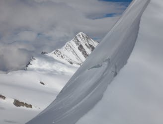
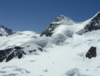
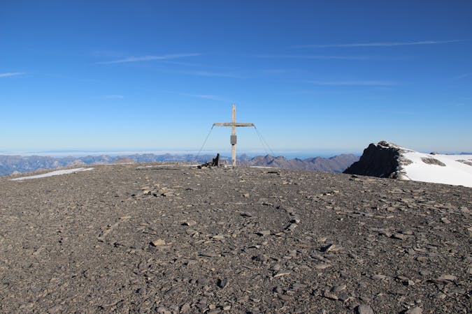
After the Grosse Turm at 3689m you descend/rappel 20m, following which there are several hundred metres of fixed rope to yard on. This is predominantly on the N side of the ridge and above here the ridge eases in angle, but not exposure. You tiptoe along either side of the snowy crest, over small rises and small descents before arriving on the summit itself, with stunning views in all directions. Grindelwald appears to be beneath your feet and behind you the Schreckhorn Lauteraarhorn is particularly fine.
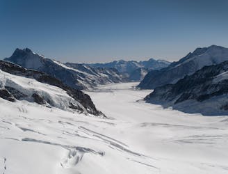
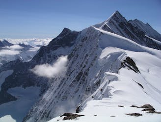
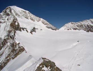
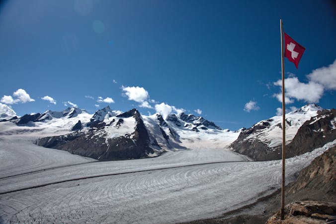
From the summit descend to the S, easy initially then much steeper where a couple of rappels can be expected. Easier downclimbing leads to the first of the two Eigerjochs. The route then climbs up, over and down the intervening mixed ground to the second of the Eigerjochs. The rock on this section is much better here than on the Mittelegi itself and is very exposed with the odd bolt serving as protection. It is also predominantly climbing up with over 150m height gain, followed by much less descent. From the far side of the rocks all that remains is a glacial journey, past the Mönchsjoch Hut to the Jungfraujoch complex. An amazing day out!
Difficult
The beginning of truly technical terrain which might involve pitched climbing on rock and/or ice, exposed terrain and complex route finding in ascent and descent. Equivalent to AD, AD+

The majority of the route is "no fall" terrain.
In the high mountains or remote conditions, all individuals must be completely autonomous in every situation.
1.5 km away
This hut approach is an alpine route in itself, to an amazing hut in an outrageous location
Difficult Alpine Climbing
3.4 km away
A high altitude glacial journey, to a steep col, then 2 quickly accessed 4000m peaks
Moderate Alpine Climbing
4.8 km away
A physically easy (ish) start to a high mountain adventure.
Easy Alpine Climbing
4.8 km away
A straightforward, stunning peak in amongst the giants of the Bernese Oberland.
Easy Alpine Climbing
4.8 km away
A true classic up a staggeringly well positioned peak.
Difficult Alpine Climbing
4.8 km away
A significant mountain, frequently underestimated due to the excellent lift access
Moderate Alpine Climbing
5.8 km away
A complicated approach followed by a great route on lovely red rock
Difficult Alpine Climbing
5.8 km away
One of the finest and longest ridge traverses in the Alps, on great rock
Severe Alpine Climbing
7.3 km away
An enjoyable route (on slightly variable rock) to a fine summit with fantastic views
Difficult Alpine Climbing
9.5 km away
A high altitude glacial journey which will provide good acclimatisation
Easy Alpine Climbing

11 routes · Alpine Climbing · Hiking
4 routes · Alpine Climbing
8 routes · Alpine Climbing · Hiking

6 routes · Alpine Climbing
10 routes · Alpine Climbing · Hiking

10 routes · Alpine Climbing · Hiking

20 routes · Alpine Climbing · Hiking
9 routes · Alpine Climbing · Hiking