Schreckhorn SW Ridge
A complicated approach followed by a great route on lovely red rock
Difficult Alpine Climbing
- Distance
- 9.3 km
- Ascent
- 1.7 km
- Descent
- 1.7 km
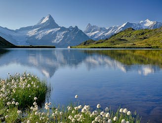
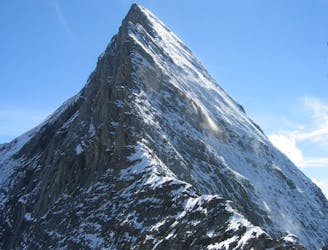
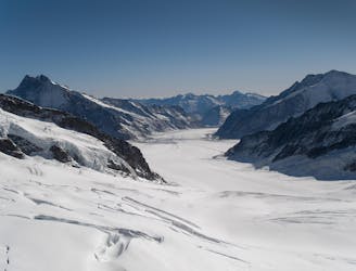
One of the finest and longest ridge traverses in the Alps, on great rock
Alpine Climbing Severe

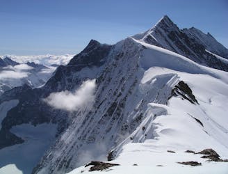
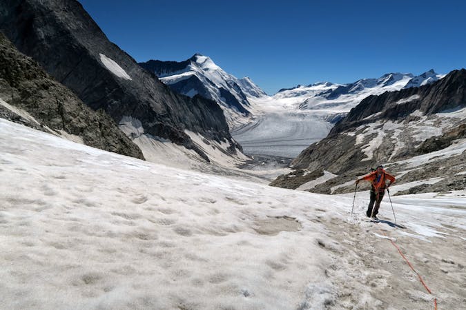
This is without doubt one of the most revered and best traverses in the Alps. It links two magnificent summits, and, whilst it's not inescapable, it feels committing and is certainly very long. You can debate the pros and cons of doing it in either direction. Some have said it is better the other way, from the Lauteraarhorn to Schreckhorn, as you are climbing towards the sun all the time, and it becomes a true traverse of the range from Grimsel to Grindelwald. But, in the direction described here, the towers on the Lauteraarhorn NW Ridge climb well on steep, positive holds, with slabby descents. This may make it a little harder than in the other direction, but not as much as grades might suggest. It also starts with the easier approach, to a guardianed hut, hence possibly a better sleep before the climb. The main consideration is the final descent of the S Couloir of the Lauteraarhorn, which will be very soft in full sun. There are 2 possibilities to get round this- either bivouac or, as will happen to most parties, be late enough that it is starting to refreeze, if you are doing the route in one long day.
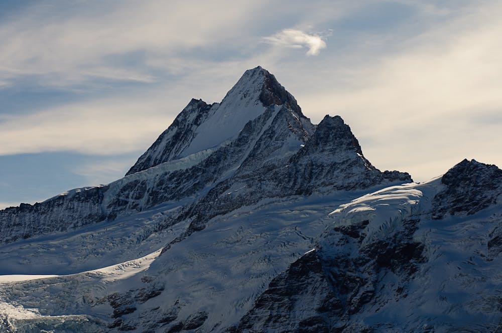
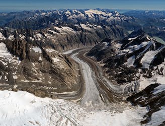
If you have started from Grindelwald you can return the following day, by ascending from the Aar bivouac hut to the Strahlegg Pass, if you don’t fancy the long walk out to Grimsel and transport back. Follow the normal route from the Schreckhorn Hut to the summit of the Schreckhorn. The actual traverse from summit to summit is on great rock. You more or less stay on the crest of the ridge all the way, crossing many towers and becoming increasingly exposed towards the end. The descent from the Lauteraarhorn is on an exposed ridge for a short distance then the steep S Couloir down to the Aar Bivouac Hut.
Severe
Steep, sustained and serious terrain on rock/ice. Routes will be long, exposed and possibly committing. D, D+

The majority of the route is "no fall" terrain.
In the high mountains or remote conditions, all individuals must be completely autonomous in every situation.
A complicated approach followed by a great route on lovely red rock
Difficult Alpine Climbing
4.8 km away
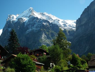
An enjoyable route (on slightly variable rock) to a fine summit with fantastic views
Difficult Alpine Climbing
5 km away
A steep snow climb and exposed ridge on good rock to one of the remotest 4000m peaks
Difficult Alpine Climbing
5.8 km away
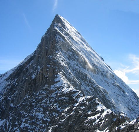
One of the very best routes in the Alps, on a legendary peak
Difficult Alpine Climbing
6.7 km away

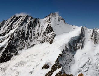
Two summits of 4000m that can easily be combined in a single outing.
Moderate Alpine Climbing
6.8 km away
A mega-classic route up the highest peak in the area
Moderate Alpine Climbing
6.9 km away
This hut approach is an alpine route in itself, to an amazing hut in an outrageous location
Difficult Alpine Climbing
7.7 km away
A high altitude glacial journey, to a steep col, then 2 quickly accessed 4000m peaks
Moderate Alpine Climbing
9.3 km away
A physically easy (ish) start to a high mountain adventure.
Easy Alpine Climbing
9.3 km away
A straightforward, stunning peak in amongst the giants of the Bernese Oberland.
Easy Alpine Climbing

11 routes · Alpine Climbing · Hiking
4 routes · Alpine Climbing
8 routes · Alpine Climbing · Hiking

6 routes · Alpine Climbing
10 routes · Alpine Climbing · Hiking

10 routes · Alpine Climbing · Hiking

20 routes · Alpine Climbing · Hiking
9 routes · Alpine Climbing · Hiking