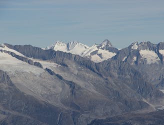
4.7 km away
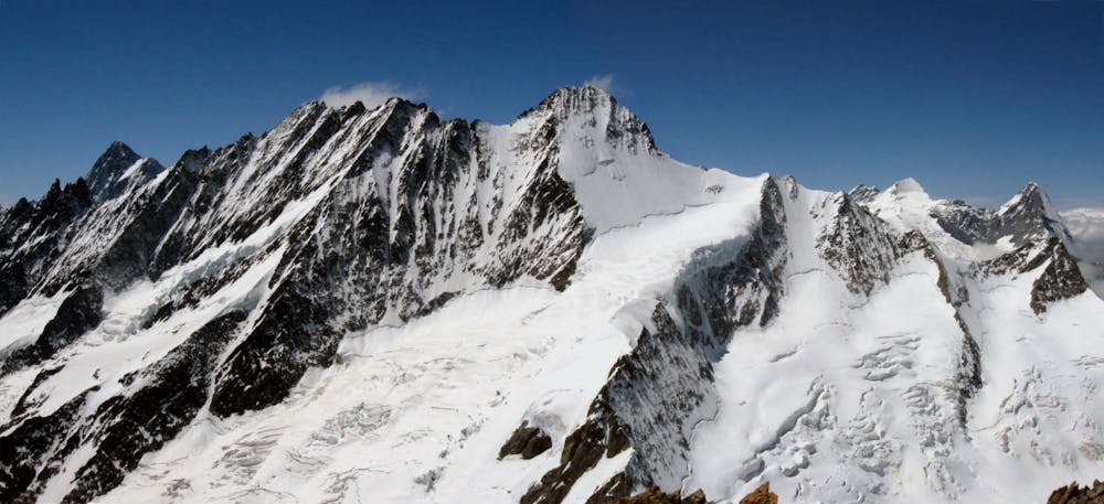
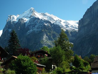
Gross and Hinter Fiescherhorns from the Finsteraarhorn Hut
Two summits of 4000m that can easily be combined in a single outing.
Moderate Alpine Climbing
- Distance
- 13 km
- Ascent
- 1.2 km
- Descent
- 1.2 km
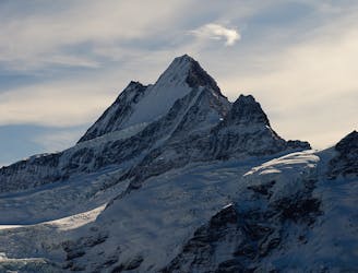
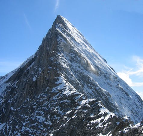
A steep snow climb and exposed ridge on good rock to one of the remotest 4000m peaks
Alpine Climbing Difficult

The Lauteraarhorn - by any route - is an inaccessible and difficult mountain. It can also be climbed from the Schreckhorn hut, by this route, over the Strahlegg Pass, but this adds to the time taken, on an already time-critical route. This is because it faces due S so will soften very early, making it more dangerous and harder going.
For those with the required level it is an obvious ski target and with careful timing will allow a descent on softening spring snow. Much harder but one of the finest routes of its type in the Alps, is the Schreckhorn Lauteraarhorn traverse, separately described. This is a major outing of considerable length.
From the bivi hut drop down onto the glacier and follow it up to about 3000m. You are passing beneath an area of seracs, high up and R, but these will be invisible in the dark. You need to make sure it actually is still dark at this point, in order to be early enough up and down the S facing slopes that you’re heading for. In good conditions this will be frozen snow all the way. This is more typical early season. Later on there will be shattered rock and rubble to negotiate. The route in the second half takes the snow on the L of a shading ridge to the R, but an alternative is to take to the rocks further L. Head up to the SE Ridge, just to the L of pt 3918m. From here it is an exposed but not difficult climb up solid rock to the summit. Descent is the same in reverse. Only the fittest will head out the same day, due to the length of the hut approach.
Difficult
The beginning of truly technical terrain which might involve pitched climbing on rock and/or ice, exposed terrain and complex route finding in ascent and descent. Equivalent to AD, AD+

Much of the route is difficult to protect and a fall could be disastrous at certain points.

In the high mountains or remote conditions, all individuals must be completely autonomous in every situation.
4.7 km away
Two summits of 4000m that can easily be combined in a single outing.
Moderate Alpine Climbing
4.7 km away
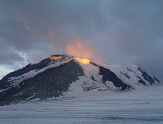
A mega-classic route up the highest peak in the area
Moderate Alpine Climbing
5 km away
A complicated approach followed by a great route on lovely red rock
Difficult Alpine Climbing
5 km away
One of the finest and longest ridge traverses in the Alps, on great rock
Severe Alpine Climbing
8.8 km away
An enjoyable route (on slightly variable rock) to a fine summit with fantastic views
Difficult Alpine Climbing
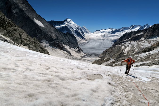
9.7 km away
A high altitude glacial journey which will provide good acclimatisation
Easy Alpine Climbing
9.7 km away
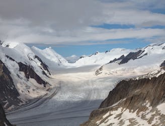
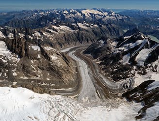
A beautiful hike up huge, wild glaciers.
Easy Alpine Climbing
9.7 km away
A lovely journey up a classic ridge, taking in the Grünegghorn on the way
Moderate Alpine Climbing
4 routes · Alpine Climbing
8 routes · Alpine Climbing · Hiking
10 routes · Alpine Climbing · Hiking

10 routes · Alpine Climbing · Hiking

20 routes · Alpine Climbing · Hiking