33 m away
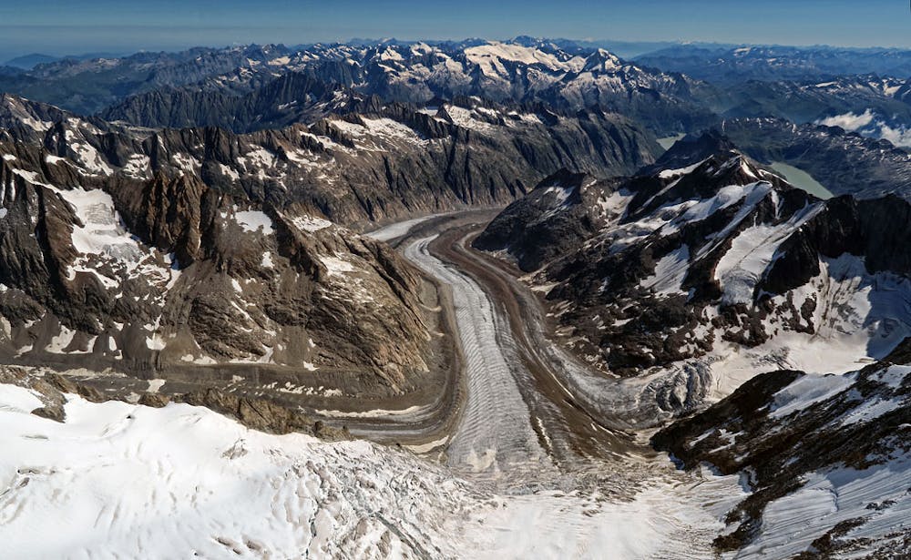
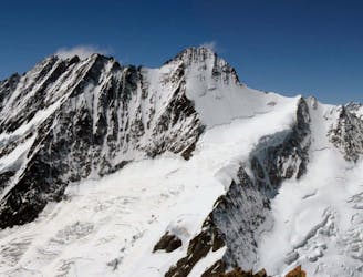
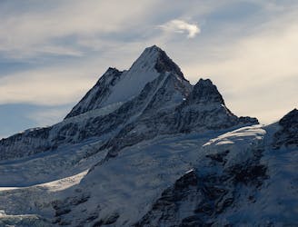
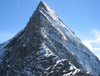
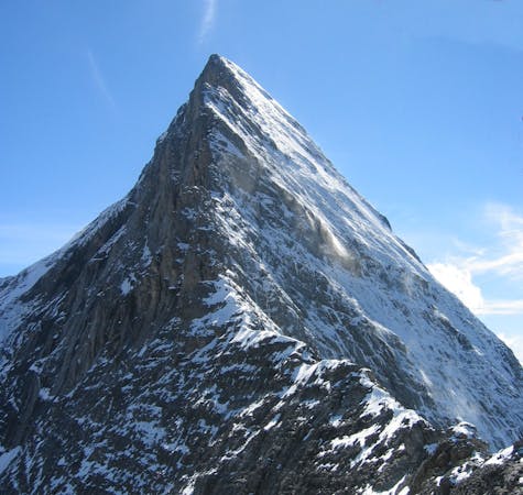
Gross and Hinter Fiescherhorns from the Finsteraarhorn Hut

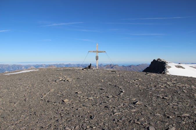
Two summits of 4000m that can easily be combined in a single outing.
Moderate Alpine Climbing
- Distance
- 13 km
- Ascent
- 1.2 km
- Descent
- 1.2 km
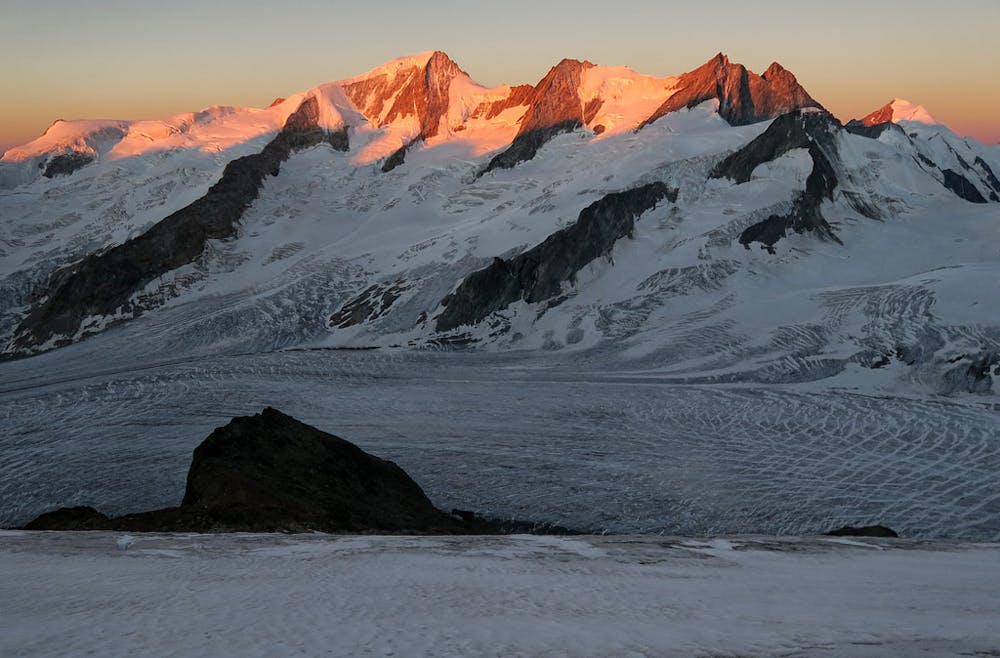
A mega-classic route up the highest peak in the area
Alpine Climbing Moderate

This is a popular alpine climbing route which is generally considered to be moderate. It's very remote, it features medium exposure and is typically done between June and September. From a low point of 3 km to the maximum altitude of 4.3 km, the route covers 5.7 km, 1200 vertical metres of ascent and 1200 vertical metres of descent. You'll need ice axe, crampons and glacier kit to complete it safely.
asd
Moderate
May involve slightly more complex glacier hikes, easy but possibly long rock ridges and steep snow up to 45 degrees. Equivalent to PD, PD+

The route features some exposed and/or difficult to protect sections.

Little chance of being seen or helped in case of an accident.
33 m away
Two summits of 4000m that can easily be combined in a single outing.
Moderate Alpine Climbing
4.7 km away
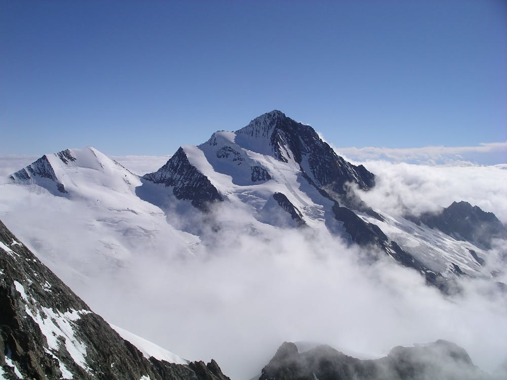
A steep snow climb and exposed ridge on good rock to one of the remotest 4000m peaks
Difficult Alpine Climbing
5.3 km away
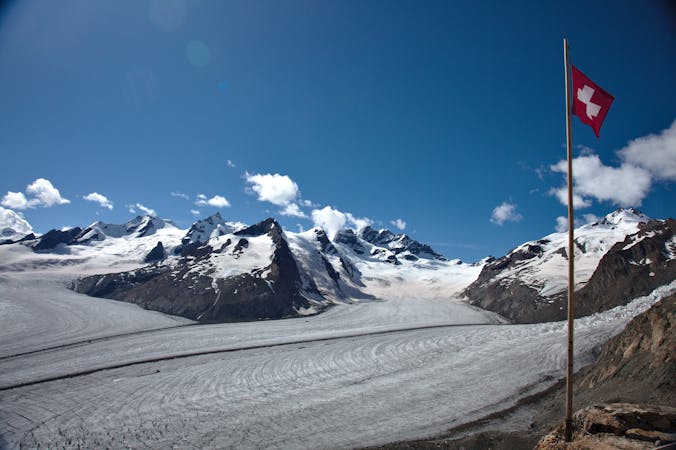
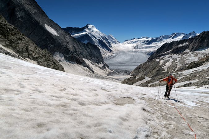
A high altitude glacial journey which will provide good acclimatisation
Easy Alpine Climbing
5.3 km away
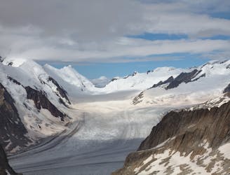
A beautiful hike up huge, wild glaciers.
Easy Alpine Climbing
5.3 km away
A lovely journey up a classic ridge, taking in the Grünegghorn on the way
Moderate Alpine Climbing
6.8 km away
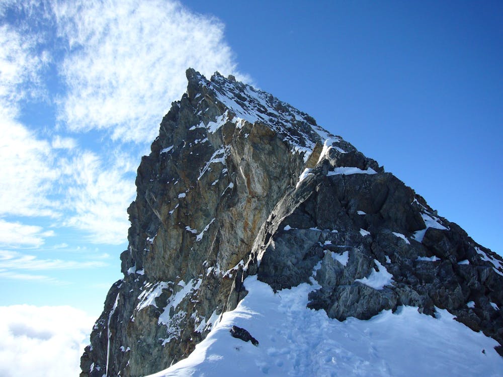
One of the finest and longest ridge traverses in the Alps, on great rock
Severe Alpine Climbing
6.8 km away
A complicated approach followed by a great route on lovely red rock
Difficult Alpine Climbing
9.1 km away
A high altitude glacial journey, to a steep col, then 2 quickly accessed 4000m peaks
Moderate Alpine Climbing
9.8 km away
This hut approach is an alpine route in itself, to an amazing hut in an outrageous location
Difficult Alpine Climbing
9.8 km away
One of the very best routes in the Alps, on a legendary peak
Difficult Alpine Climbing
4 routes · Alpine Climbing
8 routes · Alpine Climbing · Hiking

6 routes · Alpine Climbing
10 routes · Alpine Climbing · Hiking

10 routes · Alpine Climbing · Hiking

20 routes · Alpine Climbing · Hiking
9 routes · Alpine Climbing · Hiking