4.8 km away
Schreckhorn SW Ridge
A complicated approach followed by a great route on lovely red rock
Difficult Alpine Climbing
- Distance
- 9.3 km
- Ascent
- 1.7 km
- Descent
- 1.7 km
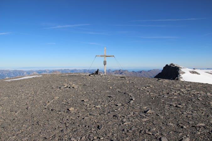
An enjoyable route (on slightly variable rock) to a fine summit with fantastic views
Alpine Climbing Difficult

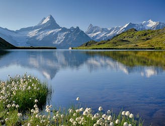
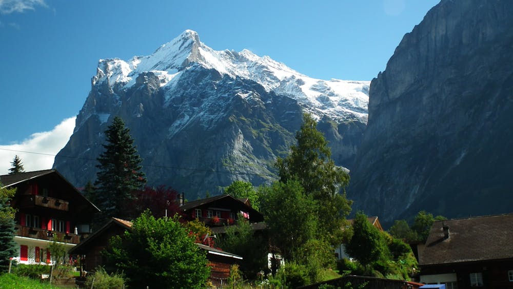
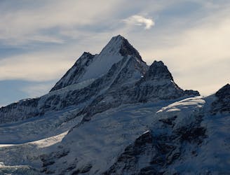
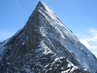
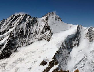
The Wetterhorn is a lovely remote summit, looking miles down to the Grindelwald valley, with great views of all the Bernese Oberland Giants too. It is much photographed from afar, as its subsidiary summit, the Scheideggwetterhorn, which has a very impressive 1000m W Pillar.
The route onto the glacier is a little indistinct, so a recce the night before is worthwhile. From the hut take the good path with blue and white markings, that leads upwards, branching off it to the R at about 2530m. (The other path continues up to the Chrinnenhorn). Head up onto the glacier which you follow in an arc, bending up and then to the R to avoid a line of crevasses. Head off onto the rock from the glacier horizontally to gain a rocky crest. Follow this easily, keeping an eye out for a second subsidiary rocky crest to your R in ascent. The rock on this part changes from gneiss to limestone. Cross towards the other ridge, looking out for stanchions that protect it, across about fifty metres. This second crest has an awkward section around a block and is then followed all the way up to the col in between the Wetterhorn and the Mittelhorn. From there to the top you can either take to the rocks or mixed ground to the summit, depending on conditions.
The view from the top is particularly fine, with the nearby Mittelhorn and distant views of all the big peaks in the Bernese Oberland. Descent is the same in reverse, mainly by careful downclimbing as it is not really steep enough for abseiling to be practical.
Difficult
The beginning of truly technical terrain which might involve pitched climbing on rock and/or ice, exposed terrain and complex route finding in ascent and descent. Equivalent to AD, AD+

Much of the route is difficult to protect and a fall could be disastrous at certain points.
Little chance of being seen or helped in case of an accident.
4.8 km away
A complicated approach followed by a great route on lovely red rock
Difficult Alpine Climbing
4.8 km away
One of the finest and longest ridge traverses in the Alps, on great rock
Severe Alpine Climbing
7.3 km away
One of the very best routes in the Alps, on a legendary peak
Difficult Alpine Climbing
8.8 km away
A steep snow climb and exposed ridge on good rock to one of the remotest 4000m peaks
Difficult Alpine Climbing
8.9 km away
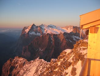
This hut approach is an alpine route in itself, to an amazing hut in an outrageous location
Difficult Alpine Climbing
8 routes · Alpine Climbing · Hiking

6 routes · Alpine Climbing
10 routes · Alpine Climbing · Hiking

10 routes · Alpine Climbing · Hiking
9 routes · Alpine Climbing · Hiking