1.3 km away
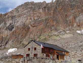
Approach to the Mischabel Hut
A very steep walk, luckily made shorter by the lift from Saas Fee
Extreme Hiking
- Distance
- 3.9 km
- Ascent
- 1.1 km
- Descent
- 66 m
Allalinhorn's ascent via the Hohlaubgrat route, in two days.
Hiking Moderate

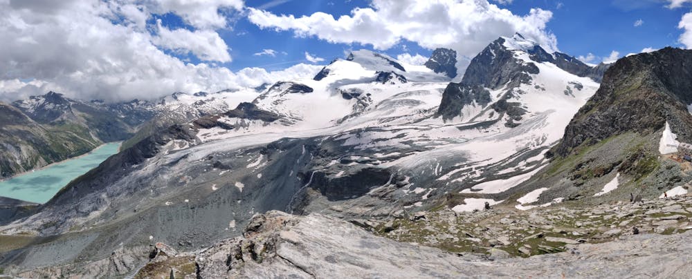
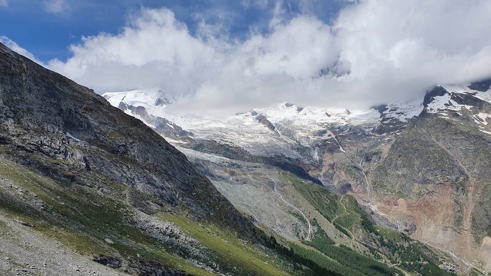
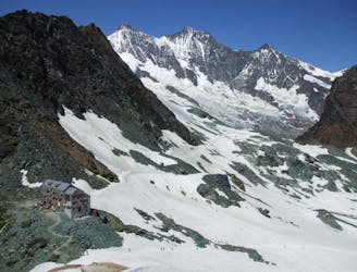
This two-days adventure started from Saas-Fee, with a hike to Britanniahütte on Day 1.
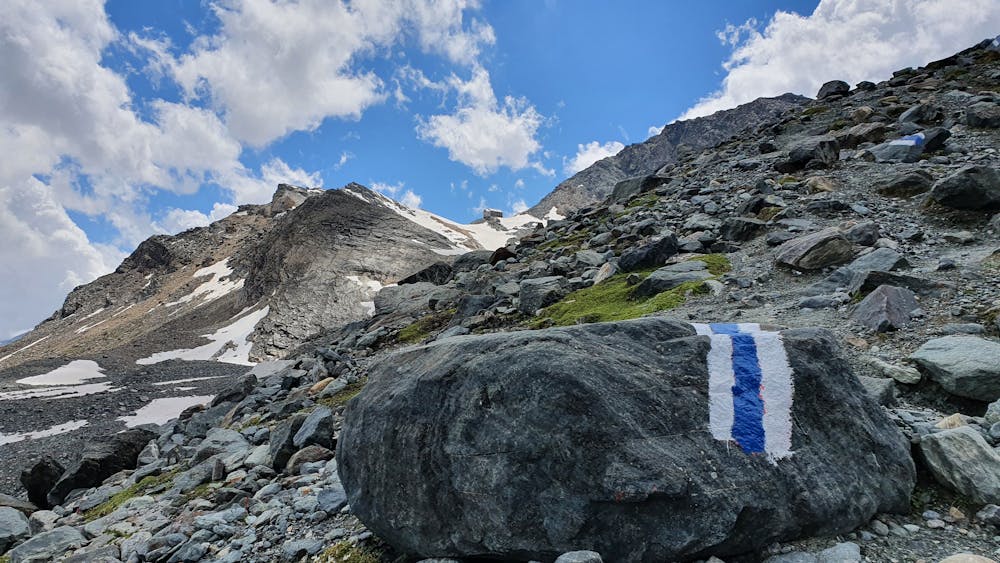
Note that it’s possible to shorten the hike tremendously by using cable cars (Plattjen or Felskinn), but you would be missing out, it’s a beautiful hike!
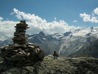
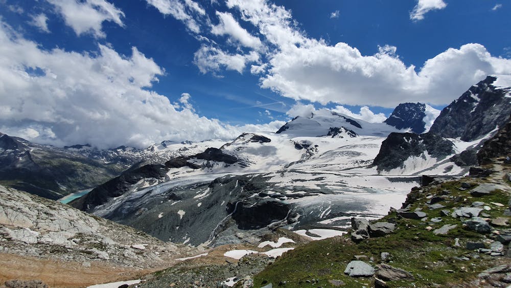
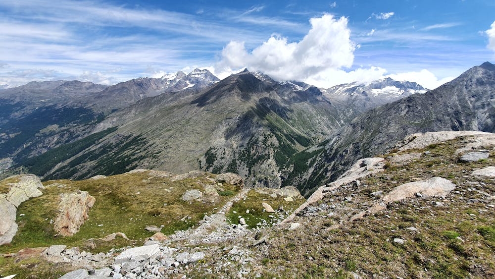
The route leading across the south-exposed side of Mittaghorn is the nicest hiking trail from Saas-Fee as its environment offers an entirely infrastructure-free landscape, once past the Plattjen lift.
Note that the small ascension to the top of Klein Allalin when you reach Britanniahütte is entirely optional but is solely for bragging purposes! What’s better than making it to the top of “Little” Allalin before climbing its big brother the next day?
Moderate
Hiking along trails with some uneven terrain and small hills. Small rocks and roots may be present.

The trail contains some obstacles such as outcroppings and rock which could cause injury.
Away from help but easily accessed.
1.3 km away
A very steep walk, luckily made shorter by the lift from Saas Fee
Extreme Hiking
2.5 km away
A scenic hike which puts you in position for further adventures.
Difficult Hiking
4.8 km away
A short trip to a well positioned hut.
Moderate Hiking

9 routes · Alpine Climbing · Hiking

6 routes · Alpine Climbing · Hiking