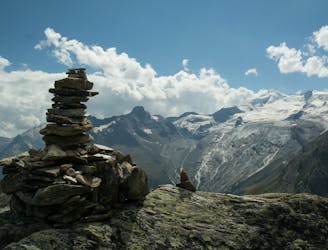
1.8 km away
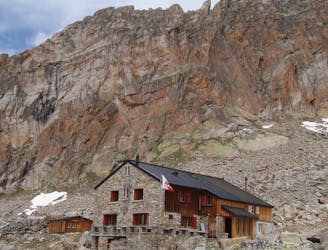
Approach to the Britannia Hut
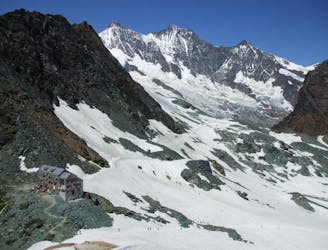
A short trip to a well positioned hut.
Moderate Hiking
- Distance
- 2.9 km
- Ascent
- 220 m
- Descent
- 175 m
Allalinhorn's ascent via the Hohlaubgrat route, in two days.
Hiking Difficult

After a night stay at Britanniahütte, Day 2 starts before dawn.
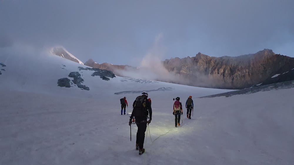
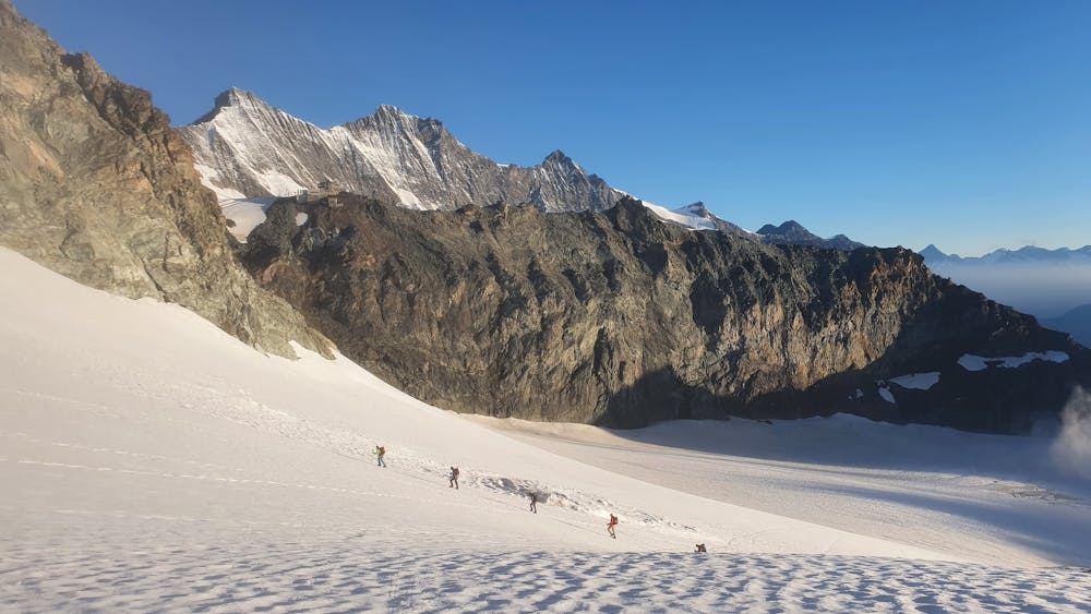
The first part of the route requires crossing the Hohlaub glacier, with head torches on and roped to progress safely on a glaciated terrain.
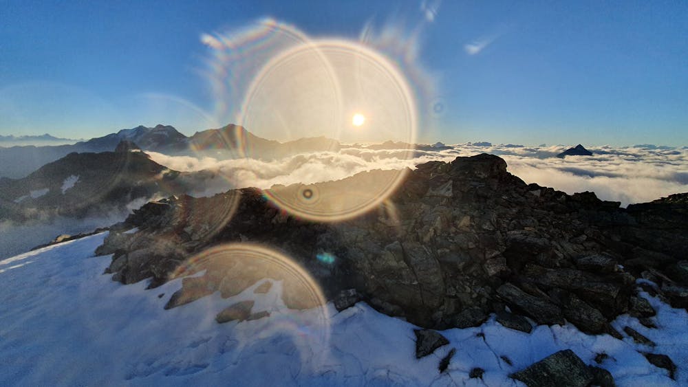
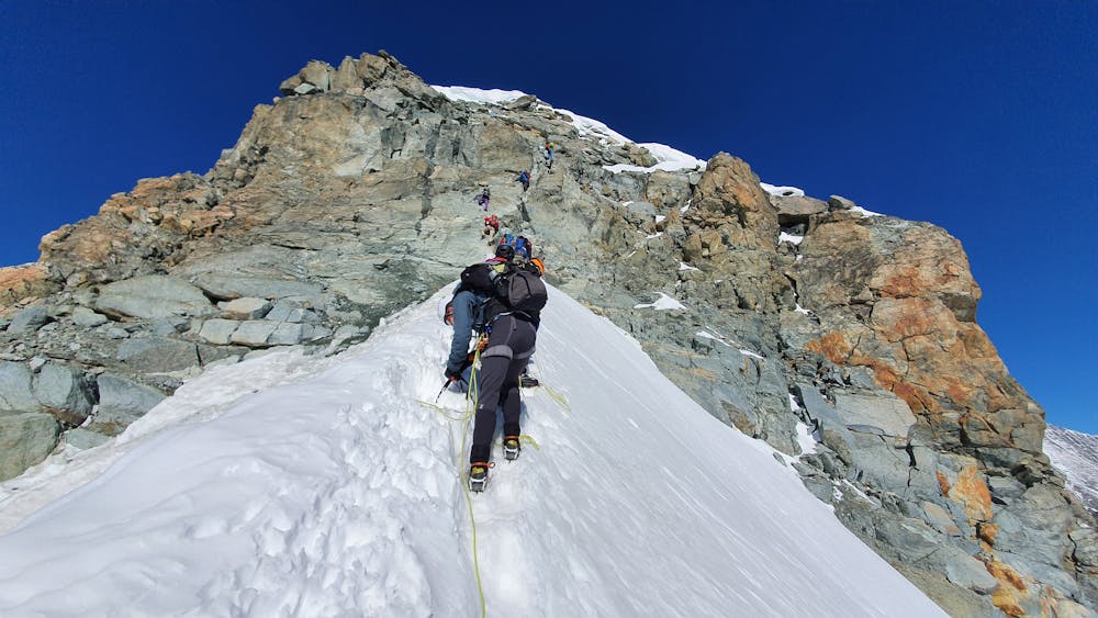
You then reach the snowy east ridge of Allalinhorn, normally just in time to admire the spectacle of sunrise over the surrounding peaks. The walk along the ridge can be somewhat exposed at times.
The route gradually steepens until finally reaching the two pitches climbing (Grade II) section beneath the summit. There, a bit of patience and concentration is required. Once this technical section cleared, the summit and its cross are within a short walk’s reach.
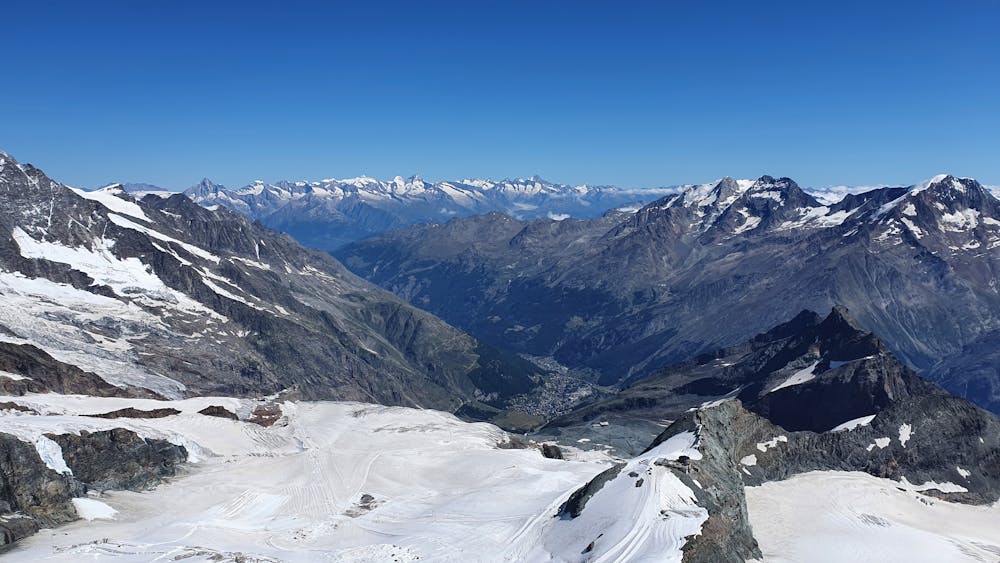
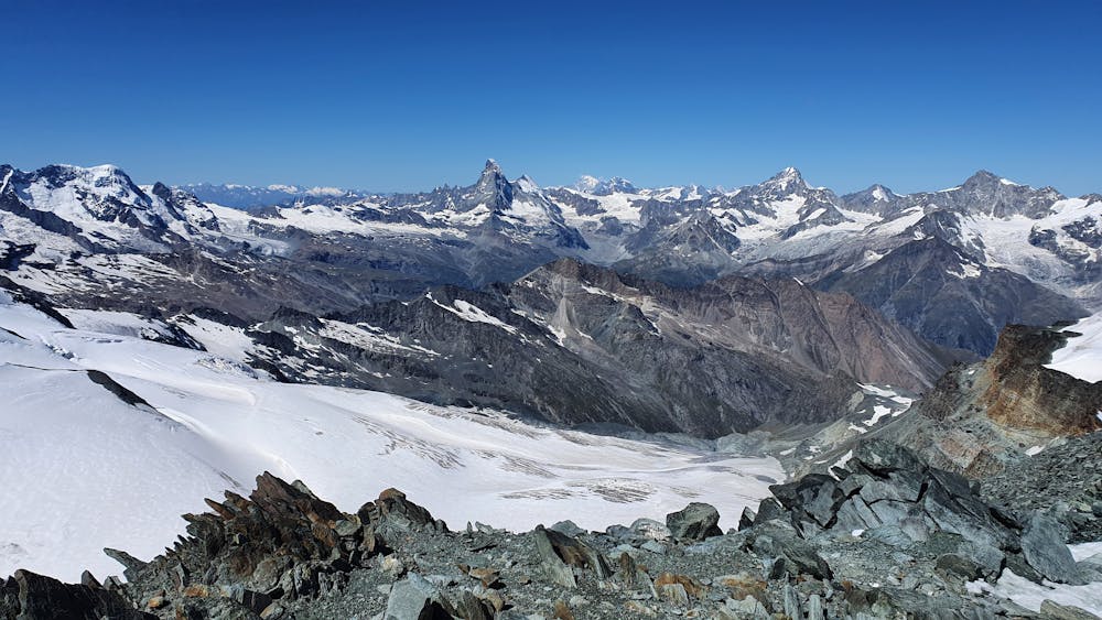
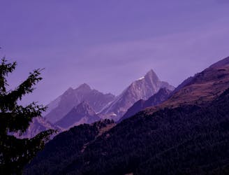
And… be prepared for spectacular panoramas to surround you: Monte Rosa, Matterhorn, Breithorn, Dent Blanche, to name a few.
For the return, the easiest is to return via the Normal route until the Mittelallalin station. It gets crowded, but it is an easy walk down.
Difficult
Hiking trails where obstacles such as rocks or roots are prevalent. Some obstacles can require care to step over or around. At times, the trail can be worn and eroded. The grade of the trail is generally quite steep, and can often lead to strenuous hiking.

Some trail sections have exposed ledges or steep ascents/descents where falling could cause serious injury.

Away from help but easily accessed.
1.8 km away
A short trip to a well positioned hut.
Moderate Hiking
4.6 km away
A scenic hike which puts you in position for further adventures.
Difficult Hiking
6.3 km away
A very steep walk, luckily made shorter by the lift from Saas Fee
Extreme Hiking
9.6 km away
A relatively short approach if you opt for the taxi, or a long cheap one
Moderate Hiking

9 routes · Alpine Climbing · Hiking

10 routes · Alpine Climbing · Hiking

6 routes · Alpine Climbing · Hiking