4.3 km away
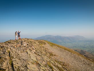
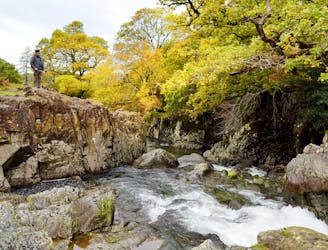
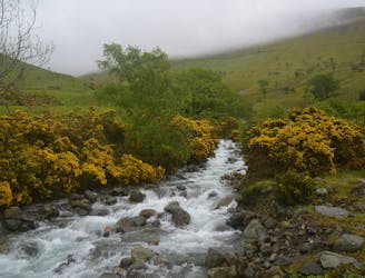
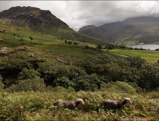
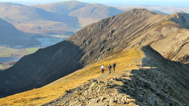
The Round of Gasgale Gill
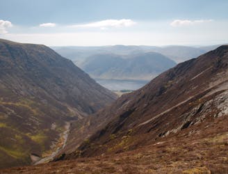
This round which tackles the hills enclosing secretive Gasgale Gill is perfect for a shorter day, and after an inauspicious start rewards baggers with three Wainwrights building to a fine climax with a traverse of one of the best walker’s ridges in the entire national park.
Difficult Hiking
- Distance
- 11 km
- Ascent
- 976 m
- Descent
- 976 m