666 m away
Iron Keld and Loughrigg
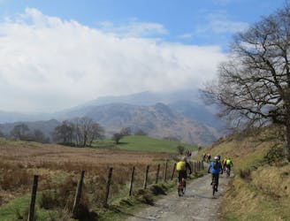
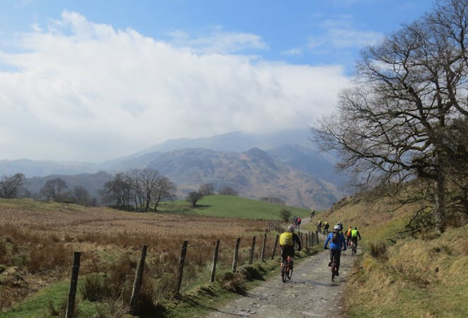
A superb and popular ride with stunning views, testing but rideable climbs, and brilliant descents.
Difficult Mountain Biking
- Distance
- 21 km
- Ascent
- 777 m
- Descent
- 777 m
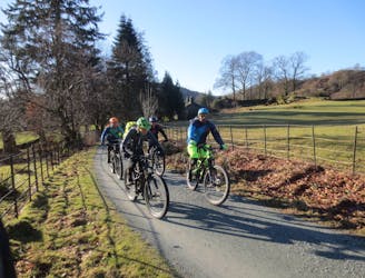
A short and popular loop from Ambleside with some fun technical riding, this makes a great evening or night ride.
Mountain Biking Difficult

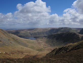
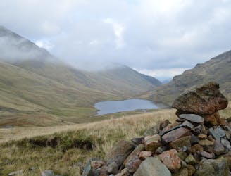
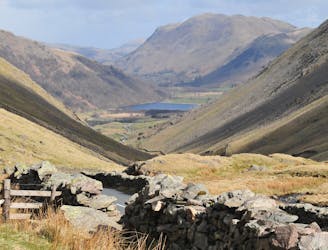
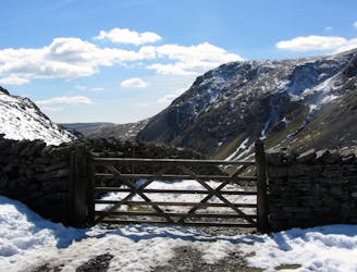
Leaving Ambleside on the main road, a few kilometres of pedalling brings you to a series of steep track and road climbs and a short descent. Further quiet roads lead to the Dubbs Road track and a rough but pleasant climb past the reservoir. Beautiful views down the valley of Ill Bell and Park Fell may tempt you to return to this area for a bigger day out next time. A fun little downhill through Limefitt park follows, before bridleways and singletrack lanes climb up out of Troutbeck towards High Skelghyll Farm. The best is saved for last with the final descent past Jenkin's Crag proving rocky, rooty, technical and with plenty of different line choices to keep you entertained.
Difficult
Mostly stable trail tread with some variability featuring larger and more unavoidable obstacles that may include, but not be limited to: bigger stones, roots, steps, and narrow curves. Compared to lower intermediate, technical difficulty is more advanced and grades of slopes are steeper. Ideal for upper intermediate riders.
666 m away
A superb and popular ride with stunning views, testing but rideable climbs, and brilliant descents.
Difficult Mountain Biking
2.2 km away
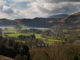
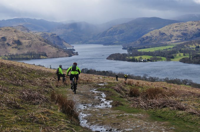
This mountain bike route could definitely be called Loughrigg Lite in comparison to some possibilities in the area, but this wouldn’t really do justice to a superb little loop that in just 10km takes in a little of everything that’s good about Lakeland mountain biking.
Moderate Mountain Biking
4.2 km away
A brutally steep climb on the way up becomes a wild, fast and furious descent on the return journey.
Severe Mountain Biking
6.4 km away
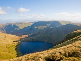
A mammoth outing from Grasmere climbing up and over the entire Helvellyn ridge, before returning on the Old Coach Road and back on the Thirlmere Valley road to Grasmere. This is a big mountain day out so pack a backpack accordingly!
Severe Mountain Biking
7.5 km away
A monster of a route taking in the full ridge of High Street and the isolated little-visited areas of Swindale and Mosedale in one giant mountain day-out.
Severe Mountain Biking
8.4 km away
A very difficult route for expert riders used to big mountain riding, including two massive hike-a-bike climbs and two steep, technical and rocky descents will delight those who are up to the challenge.
Extreme Mountain Biking
9.5 km away
A Lakeland classic that provides a fine day out in the big hills for riders with strong legs and lungs!
Severe Mountain Biking
9.6 km away
A big ride for experienced mountain bikers, climbing to and descending from two classic Lakeland passes on some of the best riding in the Lakes.
Severe Mountain Biking
7 routes · Mountain Biking
3 routes · Mountain Biking